Thursday, July 31, 2025
End: Mountain Arm Camp
Route (km): 15.0
Total (km): 104.9
Actual (km): 16.4
Hours: 10.0
Total (hrs): 52.5
Dudzic Ridge
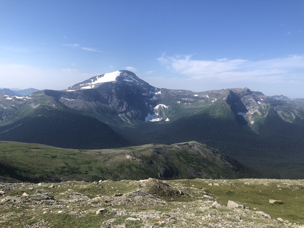
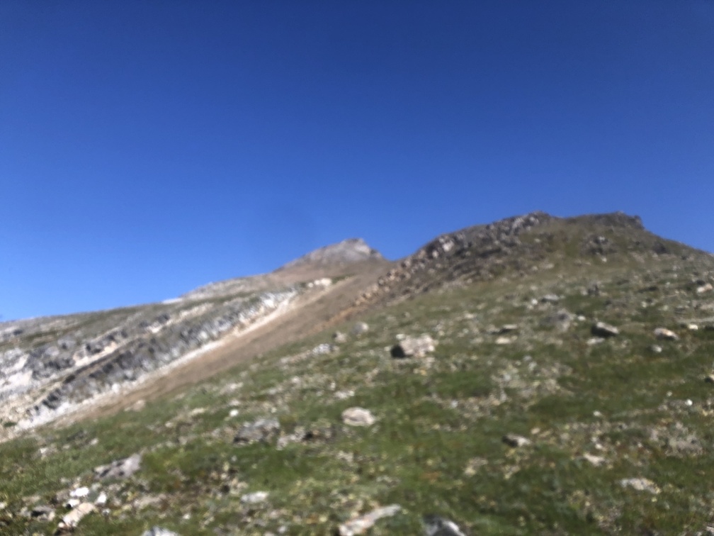
Getting up to the ridge from below Mt. Dudzic is a typical climb. Not overly difficult, just a lot of elevation gain. Starting from 1600 meters elevation means that there isn’t much brush to contend with, thankfully.
As I noted in my journal, the ridge itself is not a straight ridge walk, but I still maintained a decent speed despite the elevation changes, at least compared to other areas such as the Reynolds Ridge.
The descent itself was slow. The Misinchinka High Route often finds a water drainage streambed to use as a descent. The advantage of this is that the erosion of soil and removal of small rocks tends to leave larger rocks, which are better for finding footing. Additionally, as the streambed is the lowest point, there are often plants within reach to one or both sides, good for grabbing by hand to use as an aid to stability. But occasionally, the streambed will go down through thick vegetation, and willows will be in your face. There isn’t much of an alternative. This was the case on the descent from Dudzic Ridge down to Anzac Stream.
Forgettable Wendt Arm
I admit that when writing the commentary after the hike is complete, I’m susceptible to forgetting some of the details of each day. That being said, the Anzac Stream crossing is minor, as is the climb up to Wendt Arm.
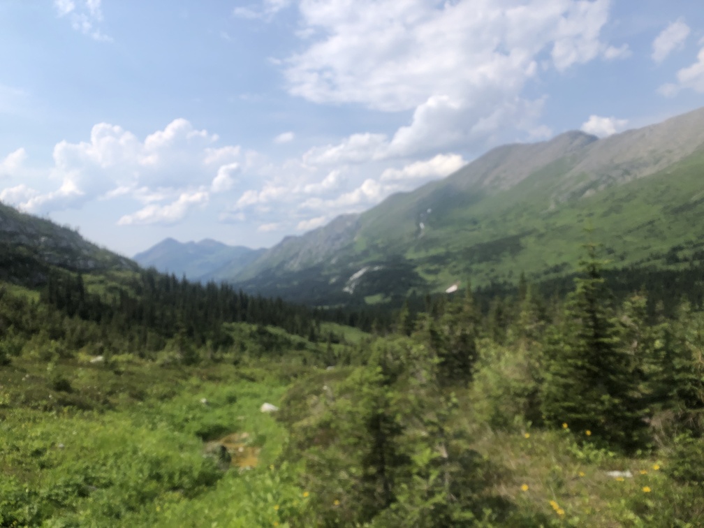
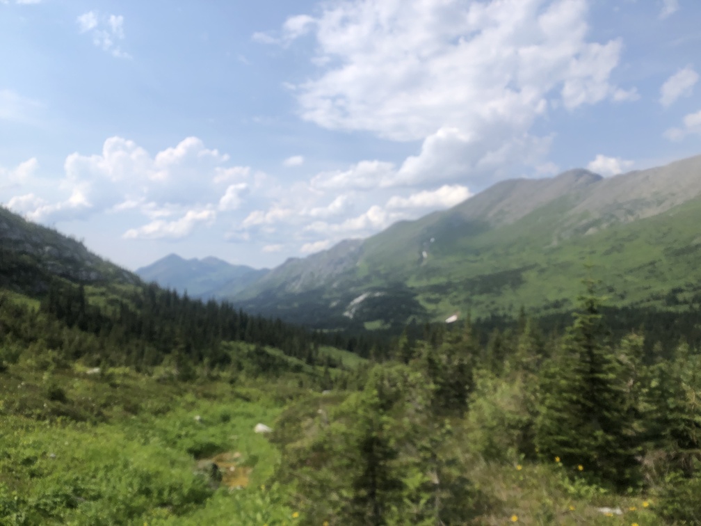
From there, the photo I took near Wendt Arm shows that despite the location below the alpine zone, there is a path between the trees. It’s tall grass, but it’s not so bad.
Protected Mountain Arm Camping
I liked the area just over the mountain arm, where there is a relatively flat portion of terrain, protected by the mountain arm which curls around on the South side. There was ample water in the stream flowing from the mountain.


