Tuesday, July 29, 2025
End: Dry Pond
Route (km): 21.3
Total (km): 73.0
Actual (km): 23.6
Hours: 11.2
Total (hrs): 31.9
Nice Ridge
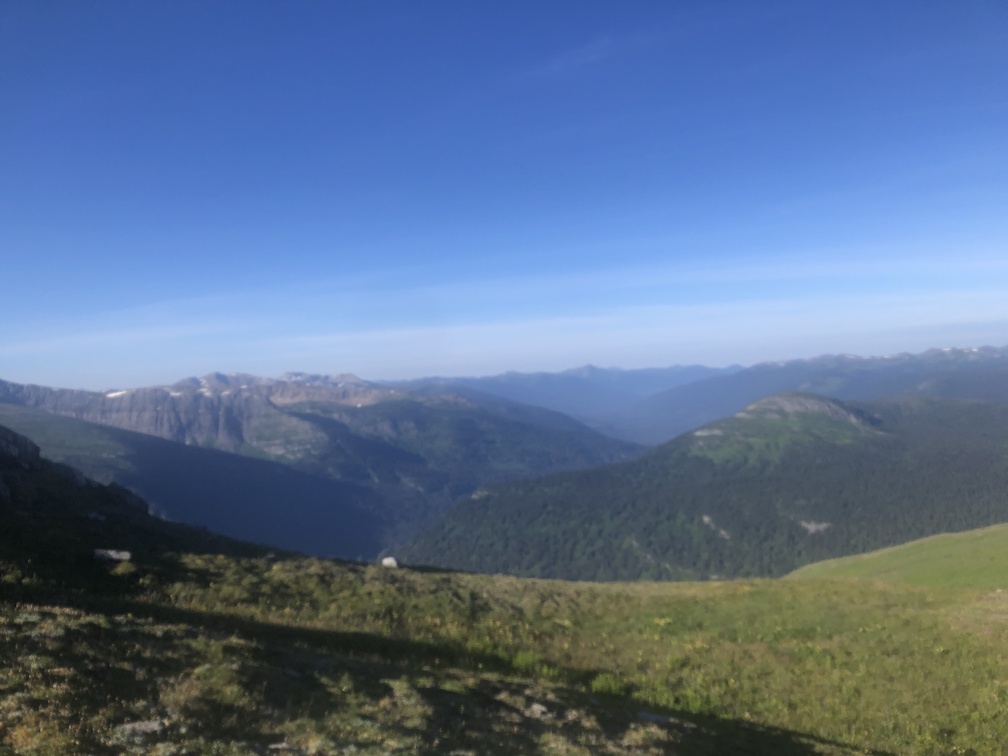
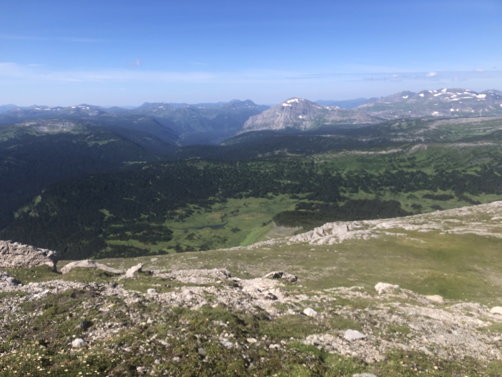
Leaving my camp at the tarn, I enjoyed the short walk along the ridge, before it was time to descend to the West. This was the first little taste of ridge walking on the Misinchinka High Route, and it highlighted the best parts of the route. This particular ridge was short, but it was the highlight of a day that was otherwise spent at lower elevation.
Homininka Stream Area
Most of the rest of the day was spent navigating the area lying at a lower elevation. There are a network of small streams flowing West to the Homininka River in this area. I remember the area as being of moderate difficulty. I stuck to the route on the GPS and made sure not to waver from it. The route does a decent job finding more open areas, though there still are plants and forests to navigate through.
Rock Hopping
As the route continues West, it enters an interesting area where the route does a big U-turn as it navigates some steep terrain. First, I entered a big ravine full of rocks at the bottom. Turning South for a short period, I hopped from one rock to the next, which was actually a nice reprieve from the forest.
From there, the route climbed and turned back to the North, and entered another corridor full of rocks which had come down from the wall to the West. And so there was more rock hopping to do. This was a nice way to break up the monotony of the forest navigation. Just be careful not to incur an injury.
Rock Scramble
There was a small rock scramble as I climbed out of the second rocky corridor to the West. It took some agility, and it is possible some hikers might not be comfortable with it. I don’t have an alternative route to recommend for that situation, but it might be possible to continue North briefly and look for a hikable path back to the Southwest to rejoin the route.
Great Camping at the Dried-Up Pond
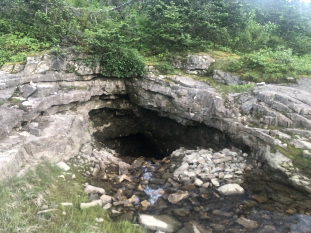
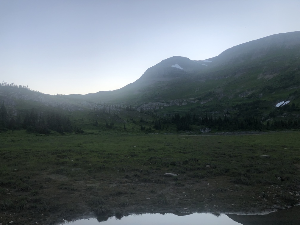
What I had originally marked as a “Tarn” was actually a pond, and a mostly dried-up pond at that. There was a large area of dried-up pond bed which was good for camping, and the remnant of the pond was in the Northwest corner. There was a good water source on the approach to the pond from the East, and the pond itself outlet underground into a cave, which was interesting.
