Monday, August 4, 2025
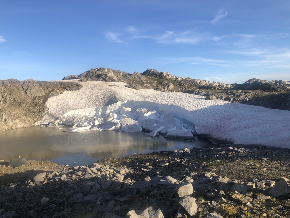
End: Hidden Iceberg Tarn
Route (km): 21.1
Total (km): 167.7
Actual (km): 24.9
Hours: 12.5
Total (hrs): 97.2
Windy Area
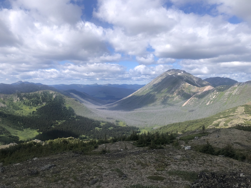
I think I’ve mentioned many times by now that this is a very windy area. I was continually blasted by wind, mostly from the West. The climb up to the first peak was … windy. Even after descending down to 1500 meters altitude and climbing back up to a different ridge, the wind was still there.
Easygoing Mt. Hunter
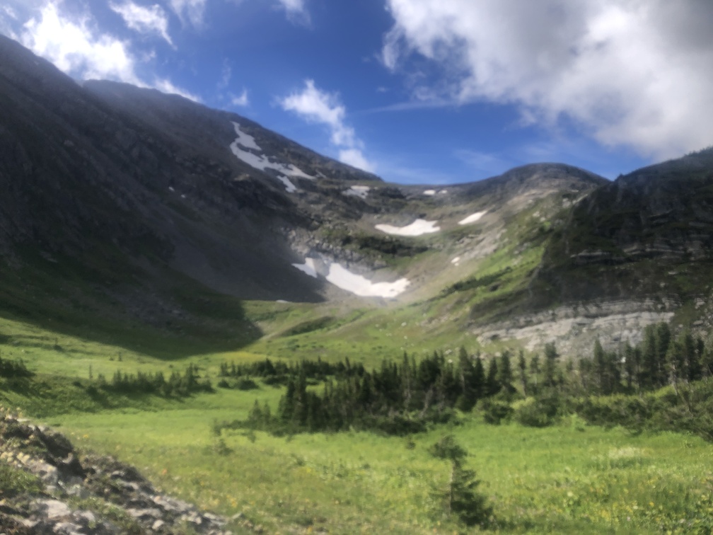
The route goes below Mt. Hunter. This whole area includes some lower elevation hiking, but the bushwhacking is never a big problem. There are a few small obstacles, but for the most part, the route finds rocky terrain to ensure better footing.
Shoes Off at Mountain Ponds
The willows and bushes get a little thicker near the two ponds I have dubbed Mountain Ponds. I got a nice picture of a pond, but what was more memorable was the bushwhacking to get to the shore, and then the need to take my shoes off to cross the inlet to the pond. It’s a rare event that my shoes came off for a crossing on the MHR, as usually there are numerous rocks and deadfall which allows for an easy crossing.
Last Stream Before Ridge
Just before making the climb to the final long ridge of the MHR, I had to go upstream along a stream with overgrown banks. It was a minor challenge to find a good path up this stream. Thankfully it was a short distance to the turn off for the climb.
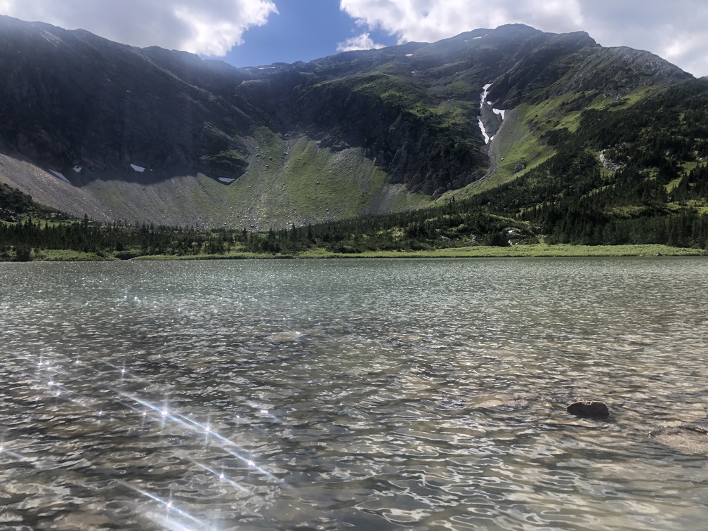
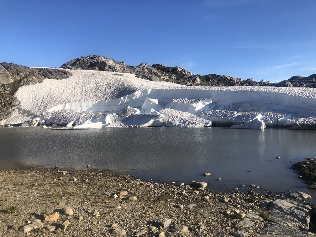
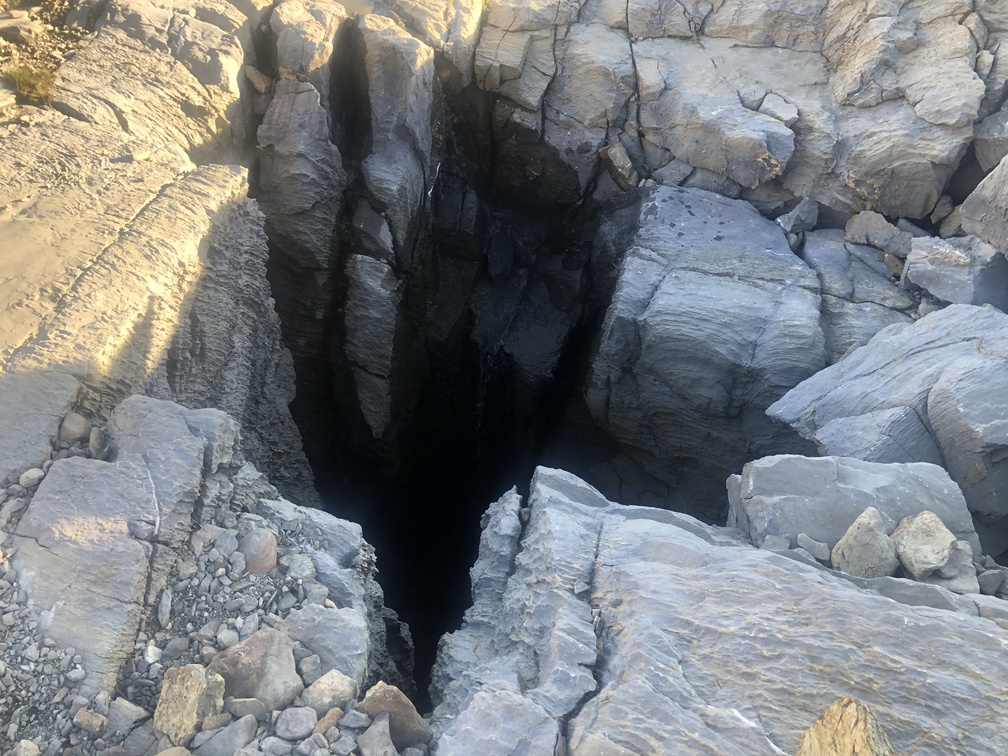
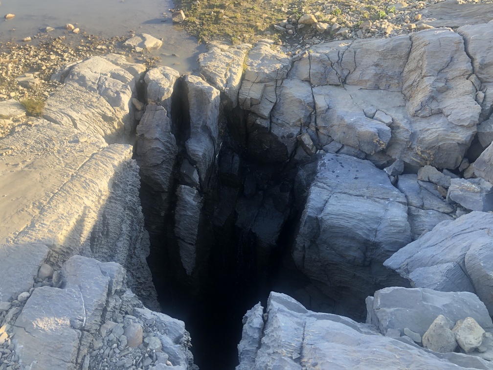
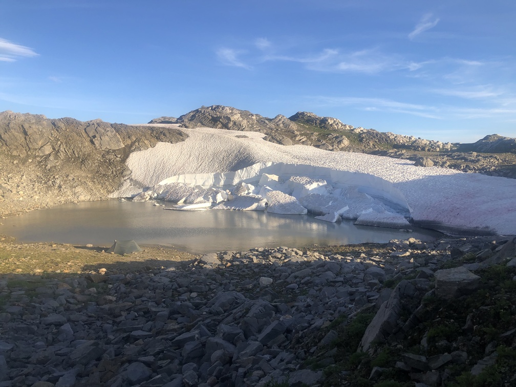
Hidden Iceberg Tarn
I recommend this beautiful spot as a camping spot. From here, it’s not too difficult to finish the Misinchinka High Route on the next day. More importantly, there is some protection from the wind down on the edge of the tarn, and it is a beautiful tarn. An ice sheet forms the Southern lip of the tarn, and the outflow is a deep hole on the North side. Don’t fall in.
