Sunday, August 3, 2025
End: Super Windy Ridge
Route (km): 13.3
Total (km): 146.6
Actual (km): 15.1
Hours: 11.5
Total (hrs): 84.7
Ridiculous Reynolds Ridge
Generally, the formula for hiking on the Misinchinka High Route is to expect slow going at lower elevations, and slightly faster hiking up in the alpine zone. This logic even holds for ridges up at high elevation, in which some climbing and descending may be part of the route. Well, the ridge near Mt. Reynolds did not conform to my hopes for a fast start to the day.
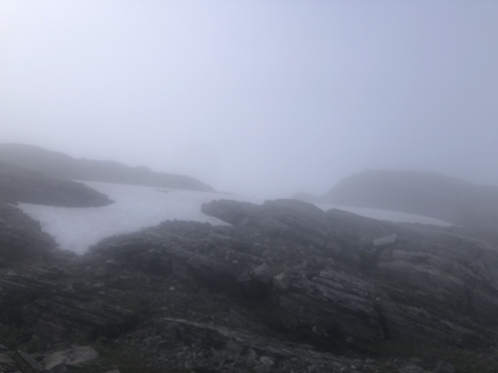
I covered the 3.5 kilometers which approximately forms the route up on the ridge in 2 hours and 45 minutes. That’s quite slow for a hike that doesn’t have to deal with bushes or vegetation of any kind. With less than 400 meters climb, and 300 meters descent, that is a very slow pace. So why was I so slow?
The ridge has an abnormal amount of rock scrambling, requiring the use of my hands to get up and down on somewhat dangerous ledges. There are several areas where the route descends down a steep slope of loose rocks. If a hiker were to start sliding, I assume a serious injury is possible.
I wasn’t comfortable with some parts of this ridge, and am happy I made it through with no injuries. The trade-off was that I had to take my time to be careful, and that affected my day. But I’m glad I made it through and was at least able to descend safely and continue the hike.
Misinchinka Low Route
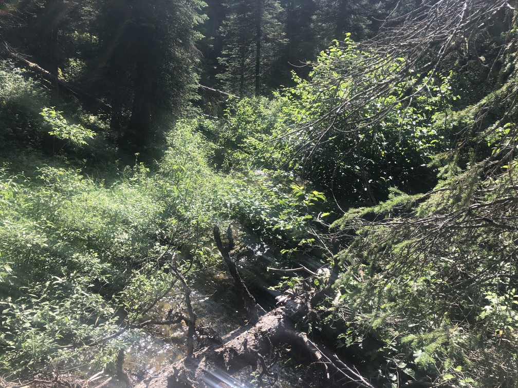
When the route crosses the Misinchinka River, the water volume is low. The river forms in the area and is not yet a wide river. The photo I took shows that the river is just like the other streams crossed in this area. Nevertheless, it was fun to get some water from the namesake of the Misinchinka High Route.
The area around the river is not horrible hiking, at least compared to the day I crossed the Coastal GasLink pipeline. Ever since that day I compared every low elevation area to that.
Last Chance Tarn
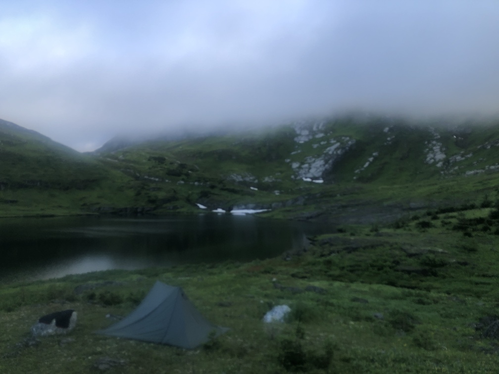
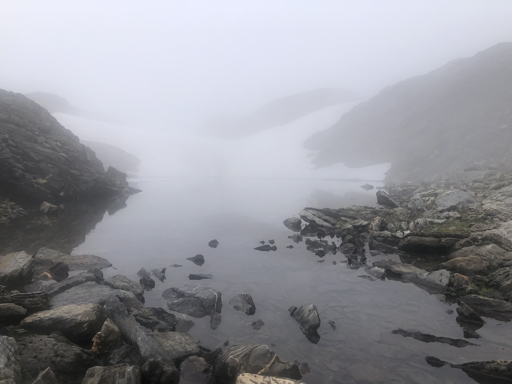
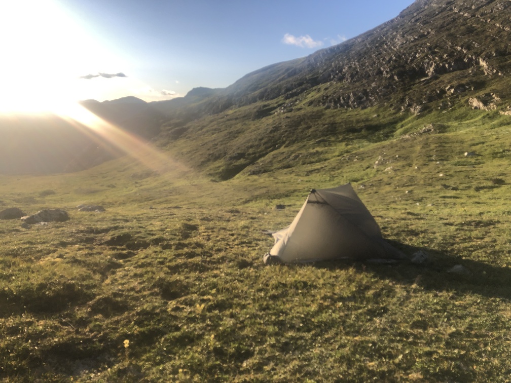
I made a big mistake by not camping at the tarn found after climbing up from the Misinchinka River. That tarn was probably the last calm spot before the ridge. Instead, fueled by a desire to get more distance in before the end of the day, I continued on, up to the exposed ridge, and never found a good spot to camp. It wasn’t worth the two extra kilometers.
Windy Ridge
As previously stated, the ridge South of the Milburn Peak was extremely windy. It may be like that quite often, I don’t know. I would plan to do the ridge in one day and not try to camp anywhere near it. Avoid making the same mistake I did.
