Wednesday, August 12, 2026
End: Campcardos Valley
Kilometers: 20.2
Total: 123.7
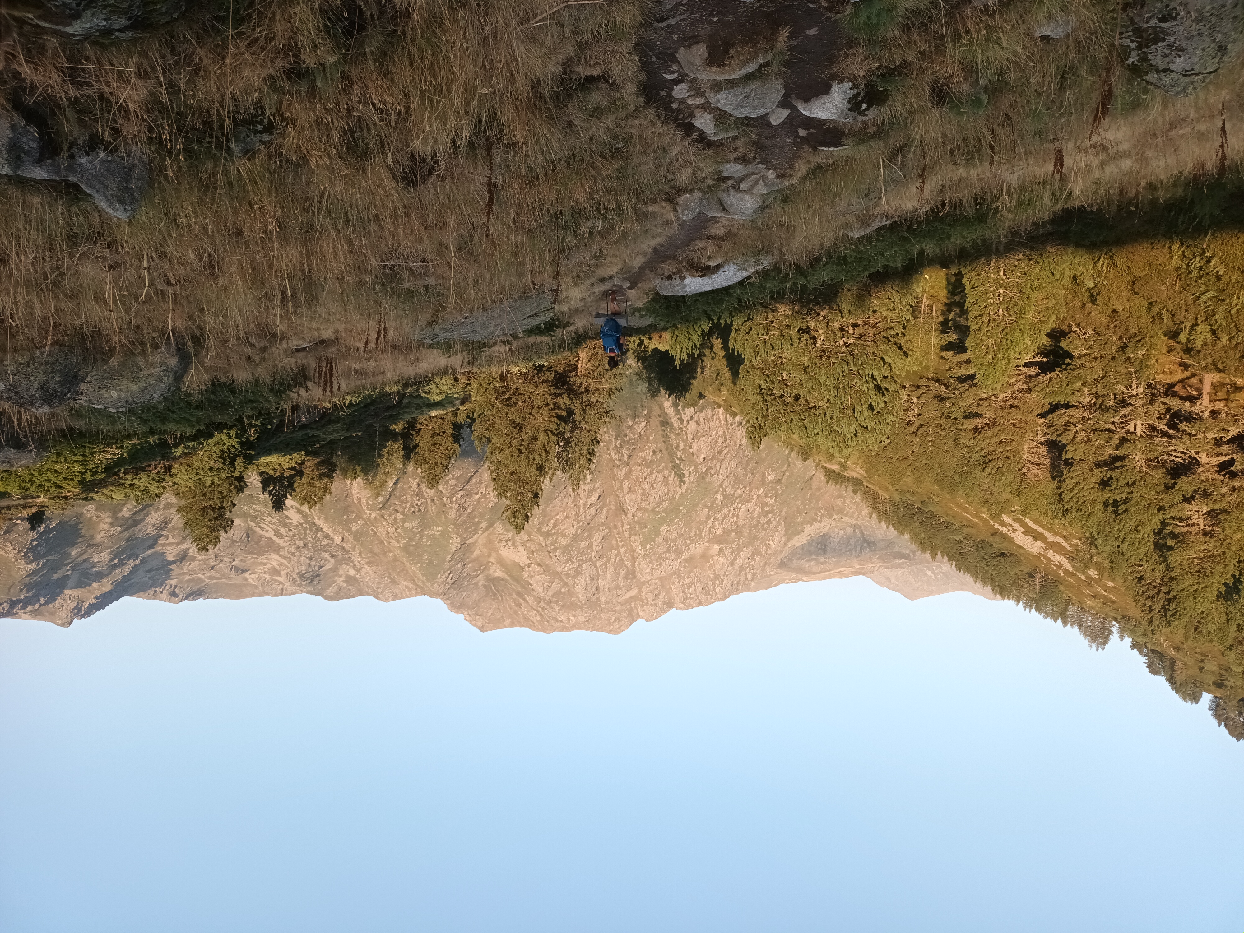
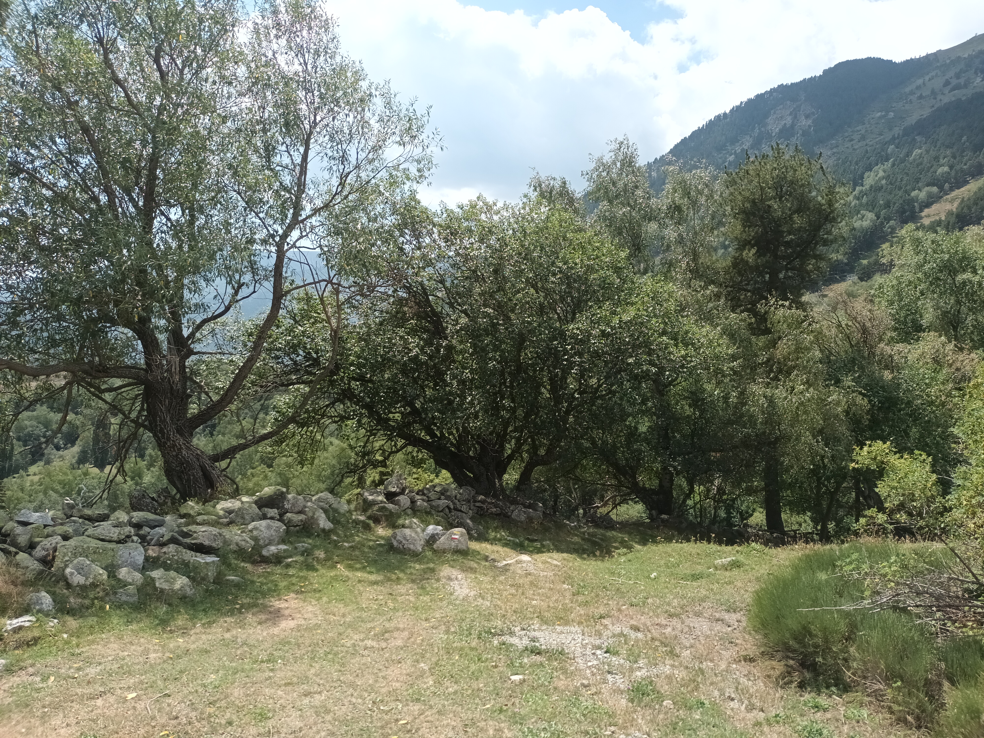
Could it be the last day on the trail? We got up and continued our descent. Soon, it got a little hairy, as the trail skirted along the edge of the steep hillside.
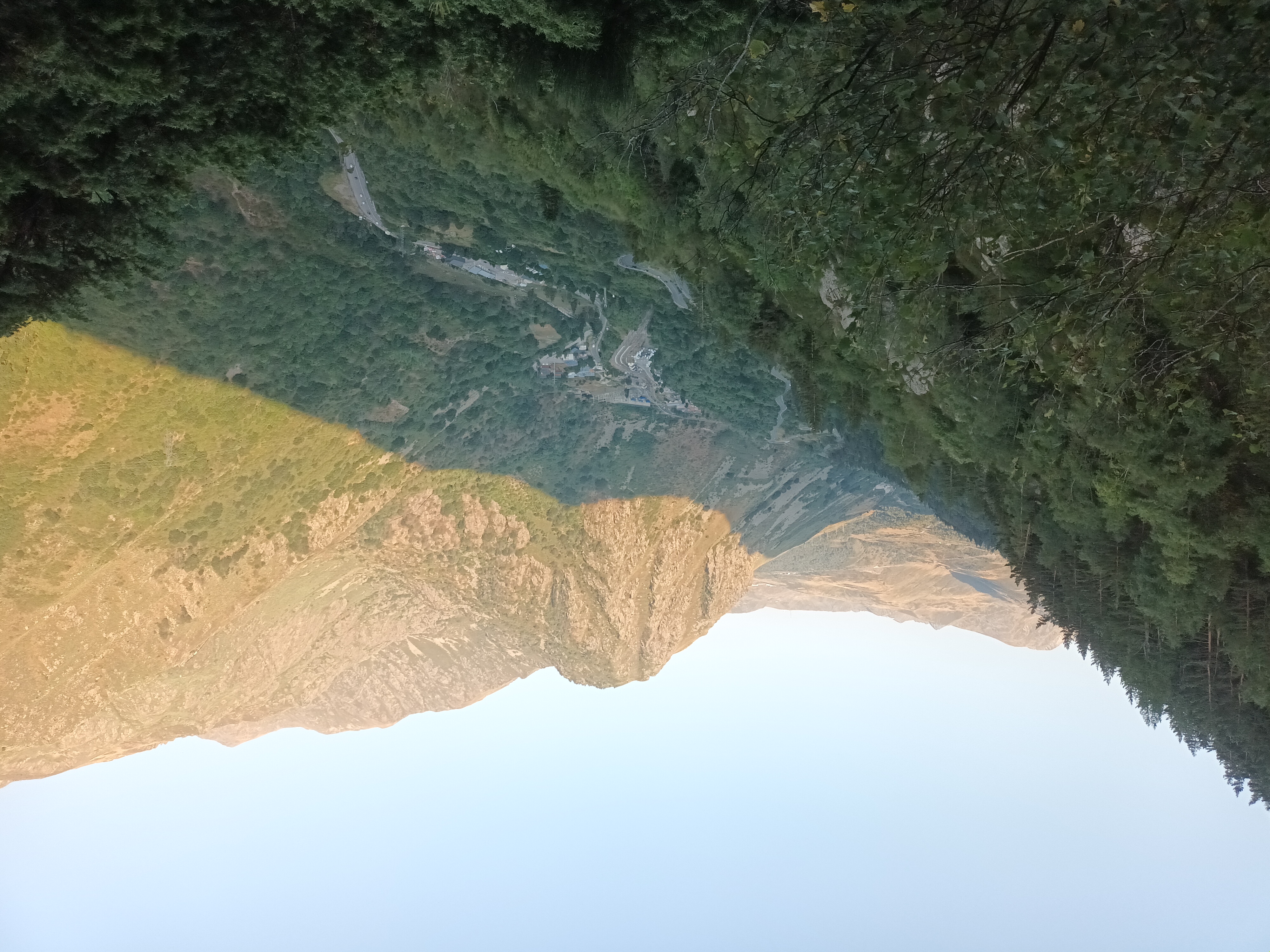
We could see the national highway in the valley far below, knowing we were heading down there ourselves. After a couple of hours, we arrived at a point where a side trail led down to the village of Hospitalet.
I took Miriam’s empty backpack down to the village. There was one little store at the train station, and I was hoping to get everything we needed there to ensure we had enough food to finish the trail and hike into Andorra.
The store was even smaller than I had imagined. There was no meat that interested us. I got what I could and hike it back up the hill. With three new bottles of water, it wasn’t light.
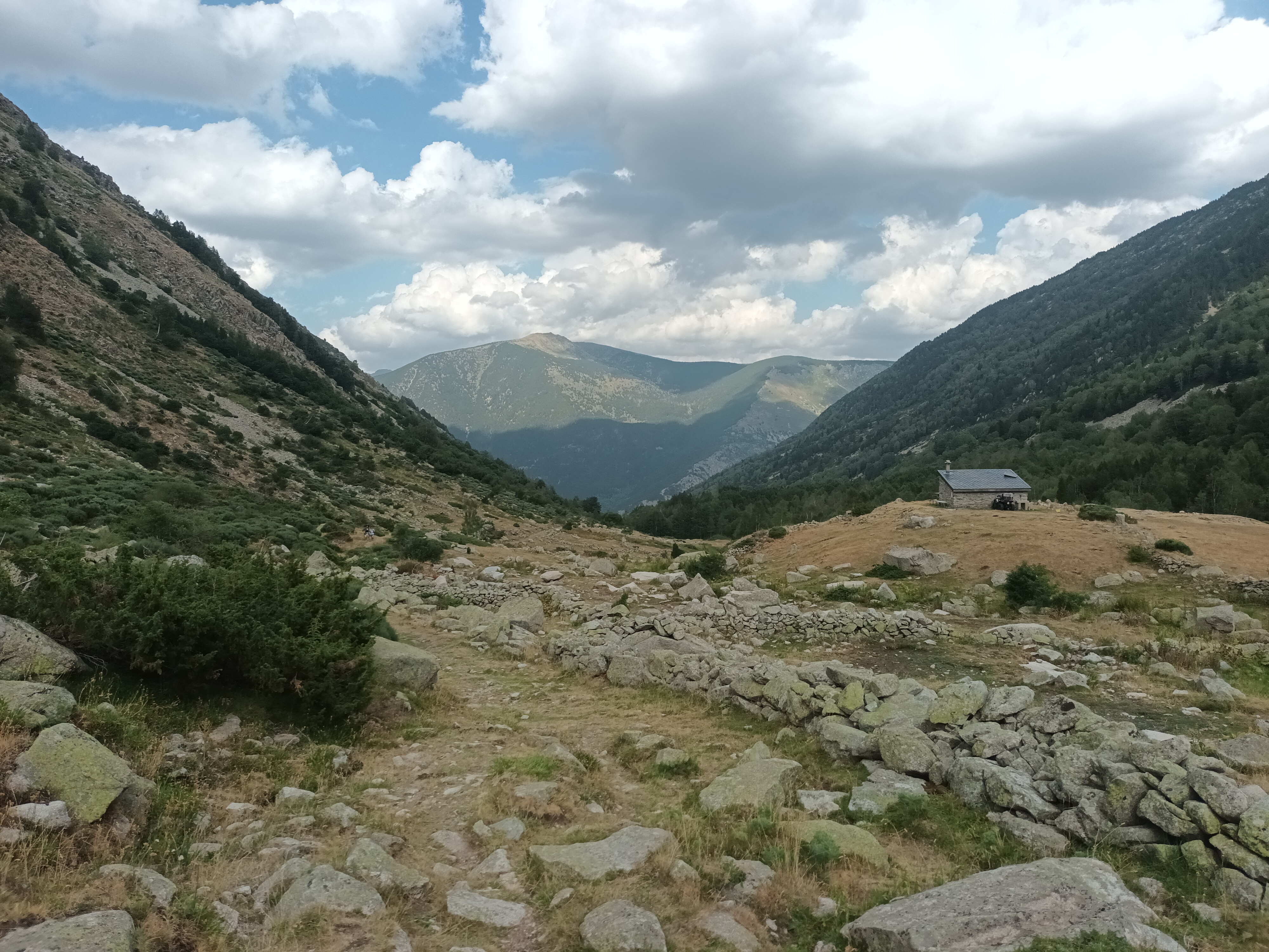
Time to set off on another climb, we started the switchbacks back up the hillside. There was a sign warning of some issue on the trail, but we didn’t see anything that worried us.
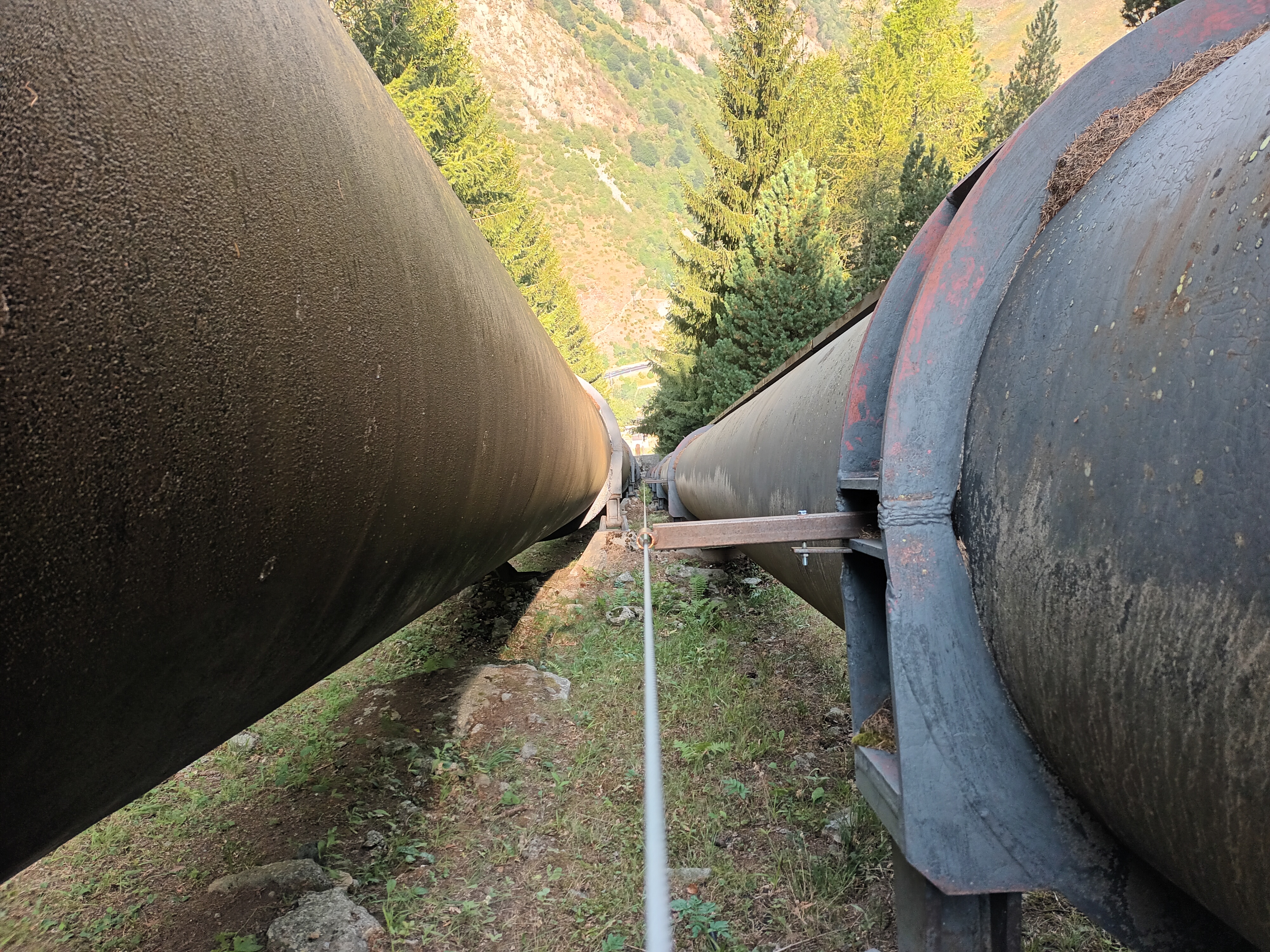
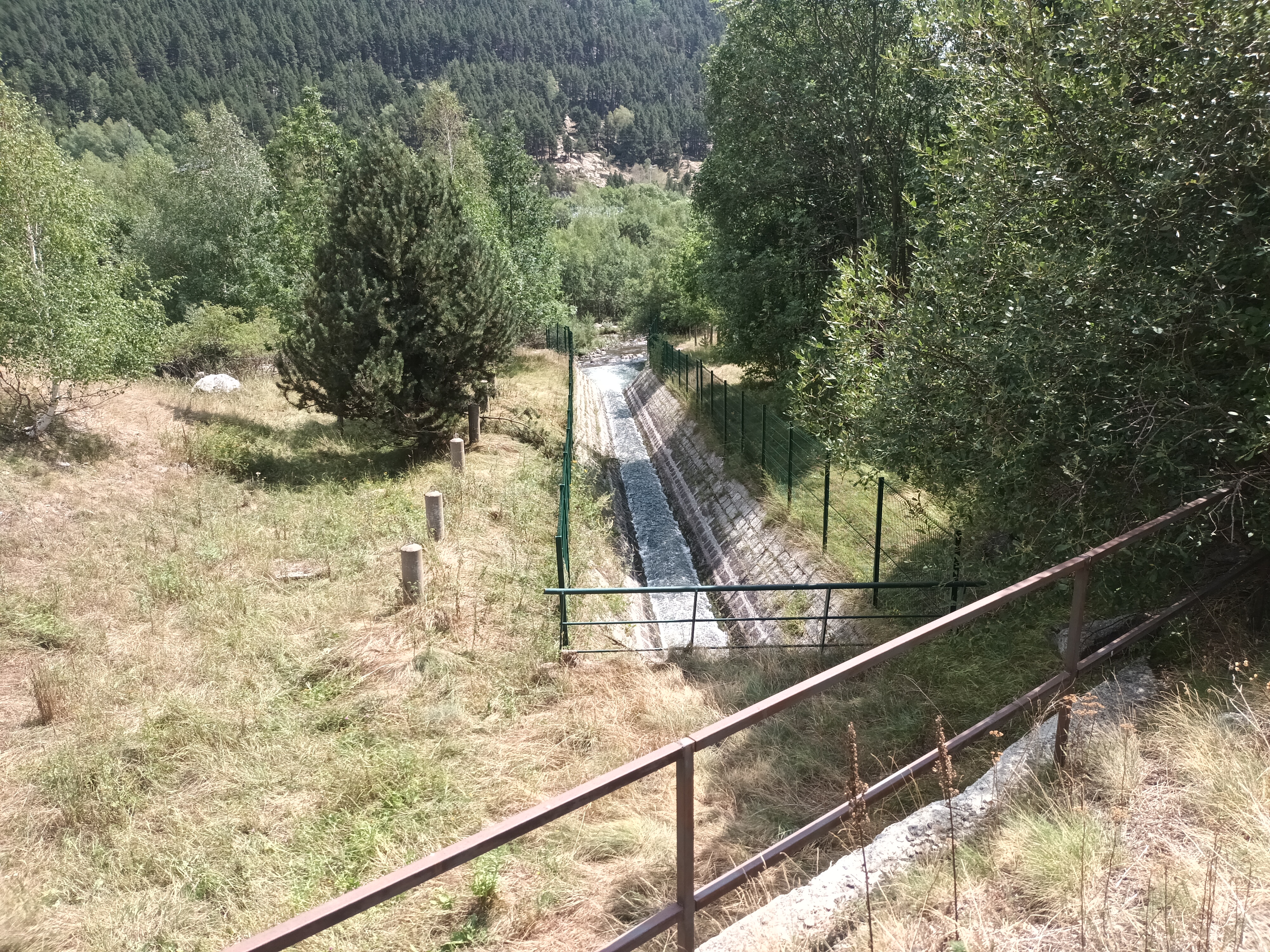
Passing some big pipes leading down into the valley and back up the other side, we made it up to a high point and started gradually descending into the next valley.
We could see the national highway below, and a rest area where many cars were gathered. Miriam and I were ahead, waiting for Alex and Daniel.
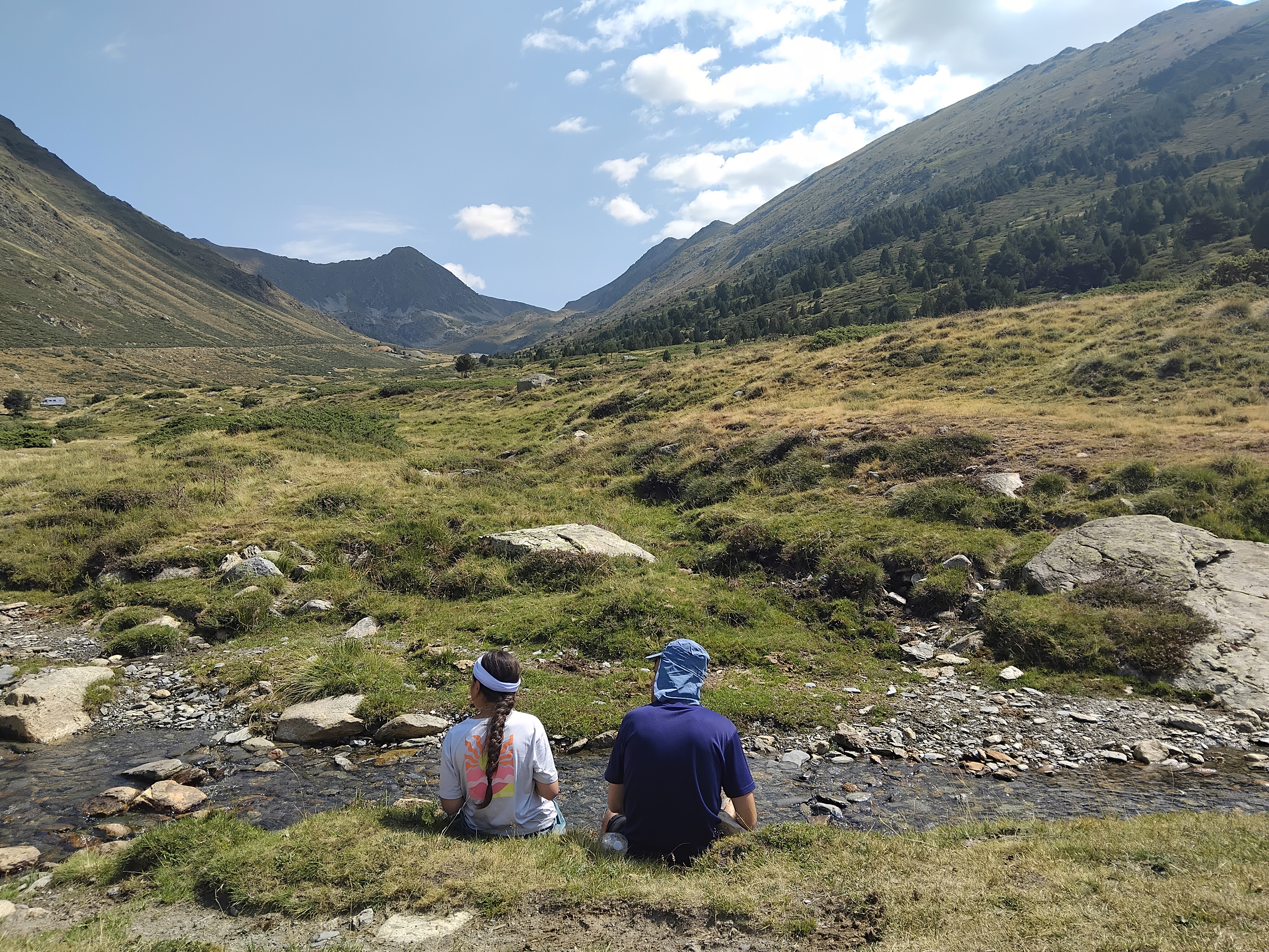
A nice little stream ran through the area, with cows and horses all around, leaving a variety of deposits and smells. We found a spot where we could enjoy the water, and the children played while we had some food. We weren’t alone, several campers and vans were parked in the grass all around.
From here, we crossed the highway, threw away some trash, and found the trail going down. I knew that we would have to climb back up to Andorra by the end of the day, but for now we had no choice but to descend the path, crossing the snaking highway several times.
We did another short break at a creek crossing, then continued on our way. Porté-Puymorens was visible in the distance, but the trail didn’t go there.
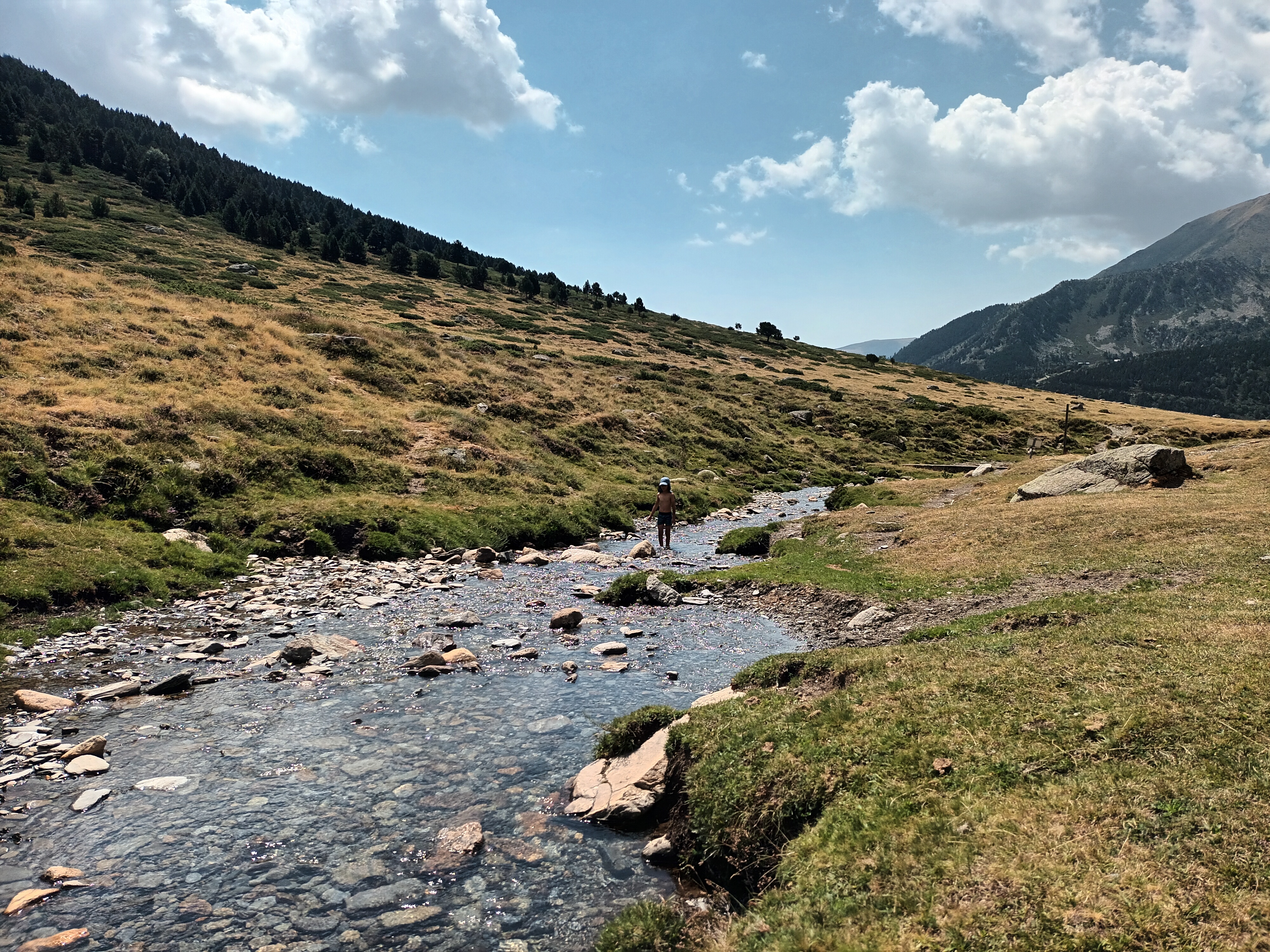
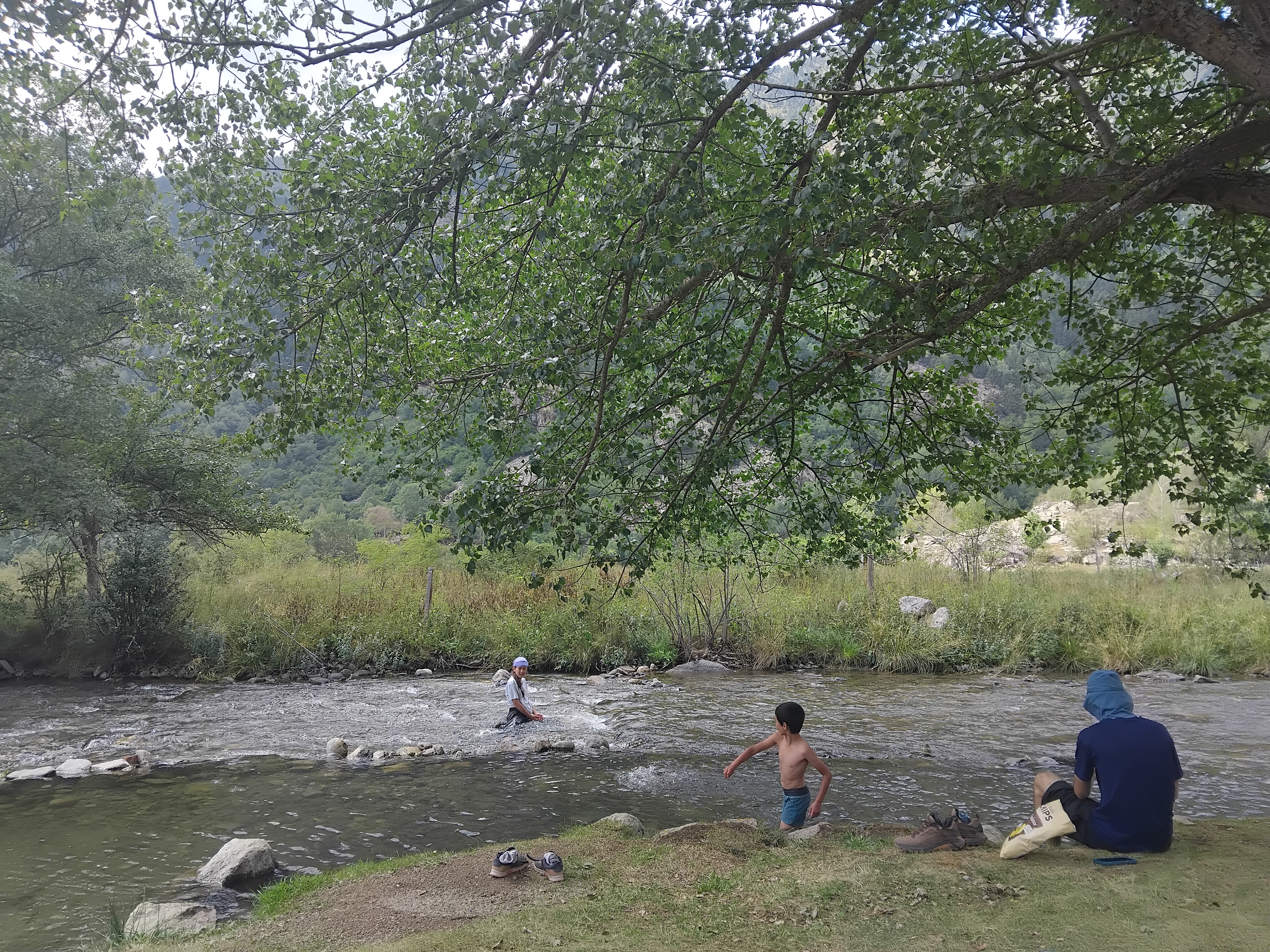
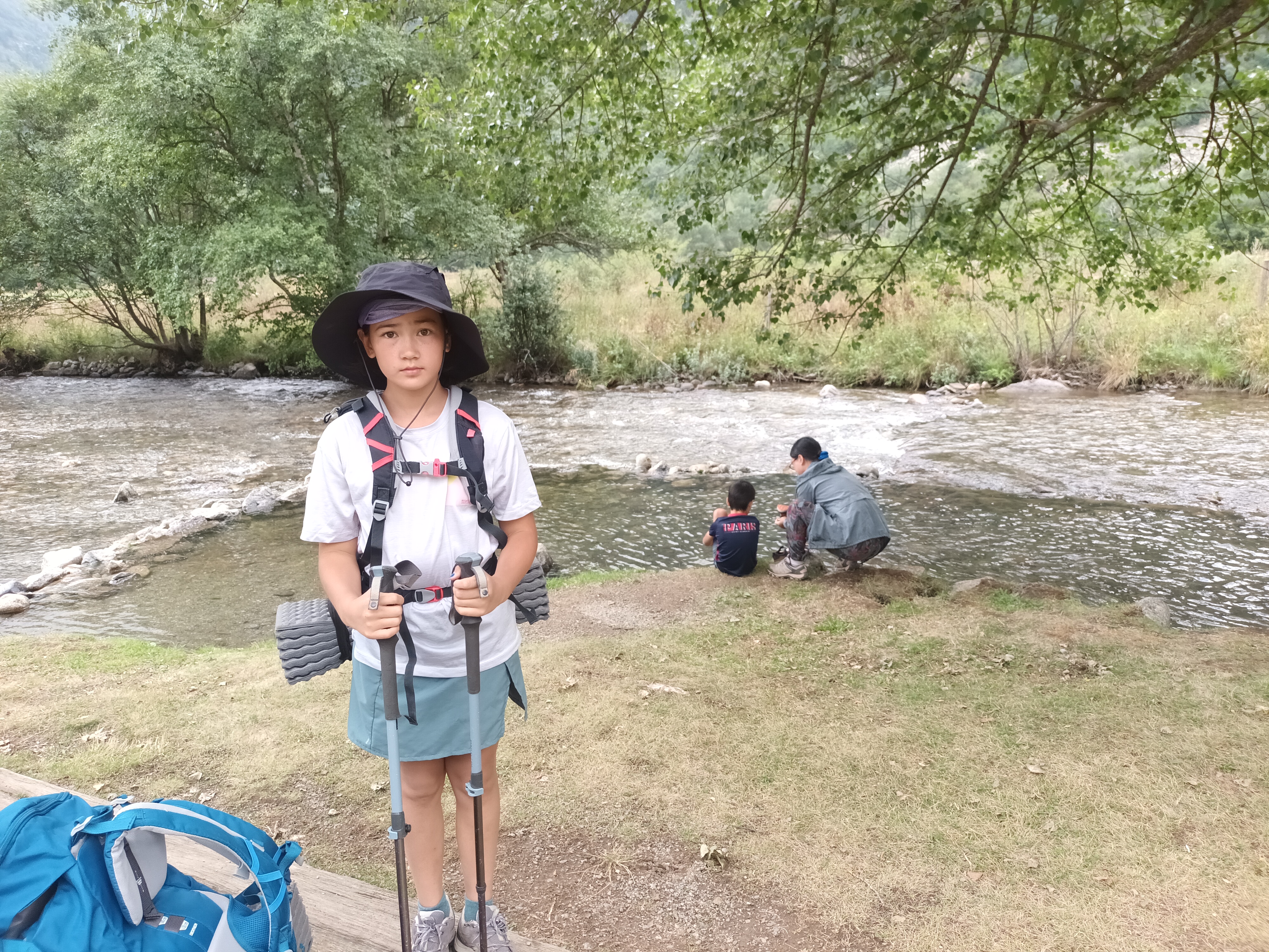
Walking into Porta, we were elated to find an idyllic little park area on the creek. There were picnic tables, a little shade, and someone had spent a lot of time placing stones to make eddies on the side of the creek. Daniel and Miriam played for awhile while I sat with my feet in the water.
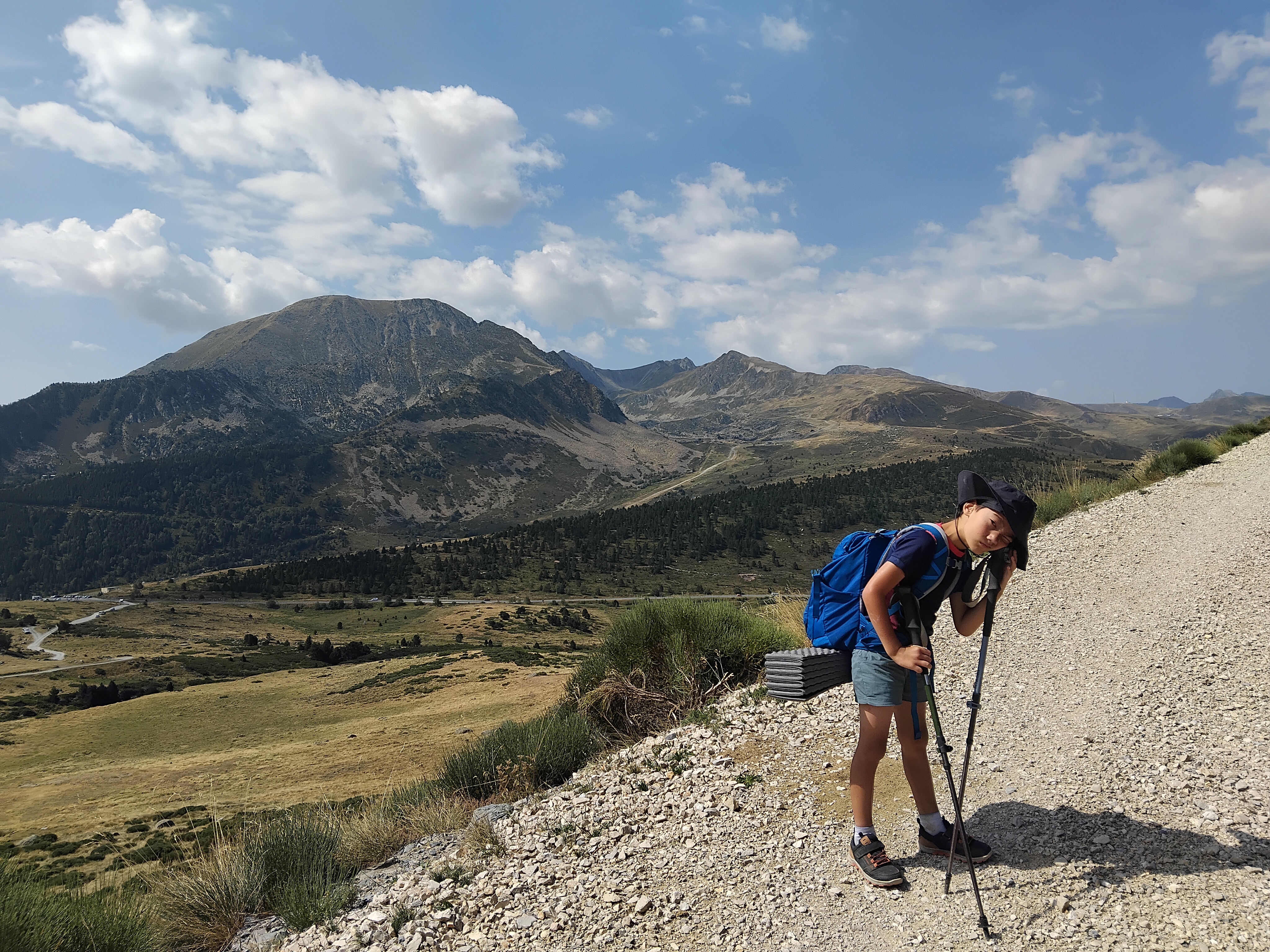
We knew that we had a long climb ahead of us after this. Eventually our break ended, and we started that. It was a daunting task, knowing how high we were going, but it was also exciting to know at the top of that climb, we would finish the trail.
The Chemin des Bonshommes continues on into Spain, but we were just interested in exploring France. Instead, we would head into Andorra to explore for a few days.
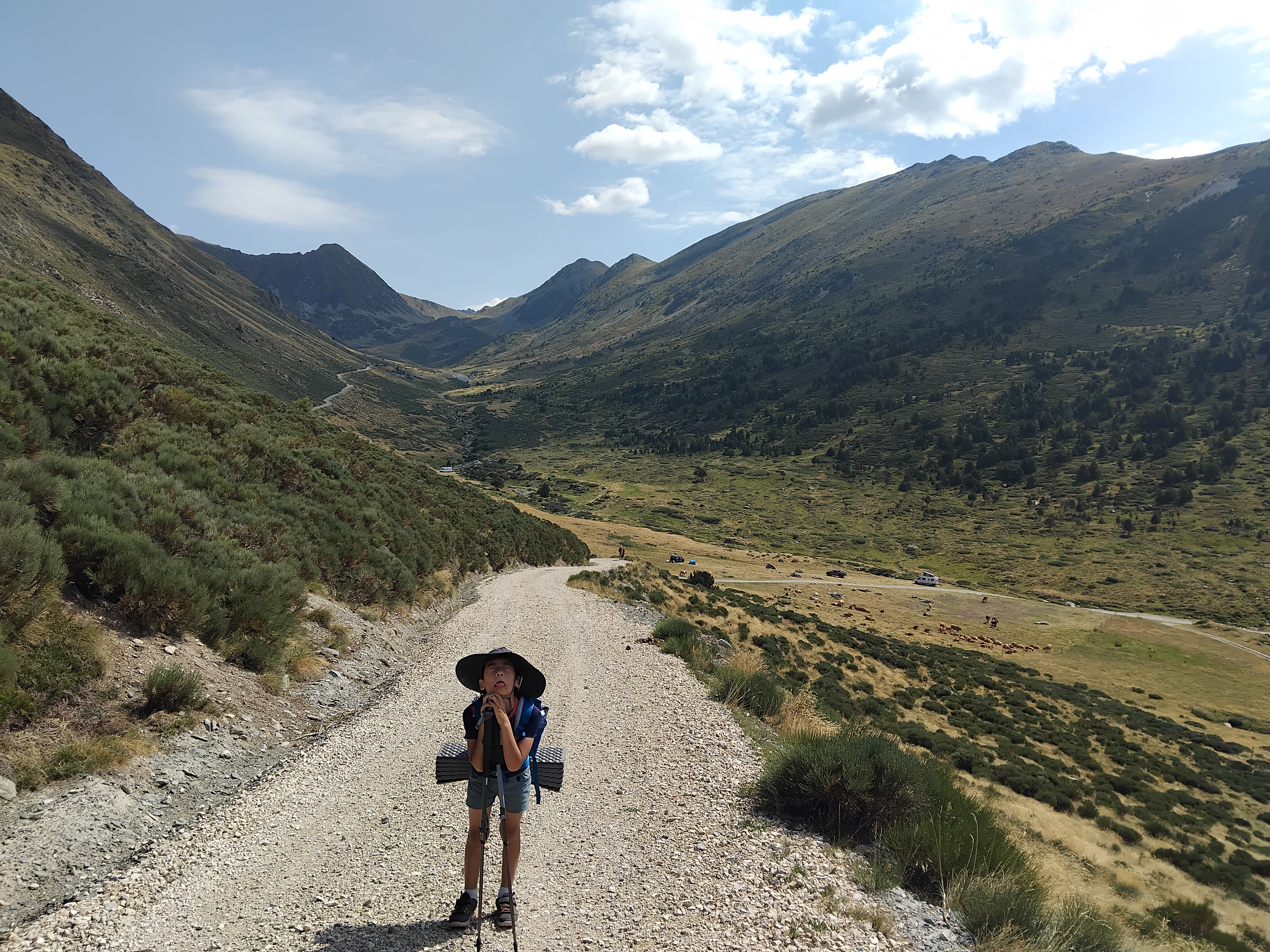
For now, we weren’t in Andorra, we were climbing out of Porta. The paved road became a gravel road, and the gravel road became a footpath. At the beginning, we passed a few hikers descending, and then there was nobody.
The sign back in Porta announced a time of 4 or 5 hours to climb to the Portella Blanca, the triple border where we would finish our hike on the GR107. We don’t usually go as fast as these postings, but this time we were motivated.
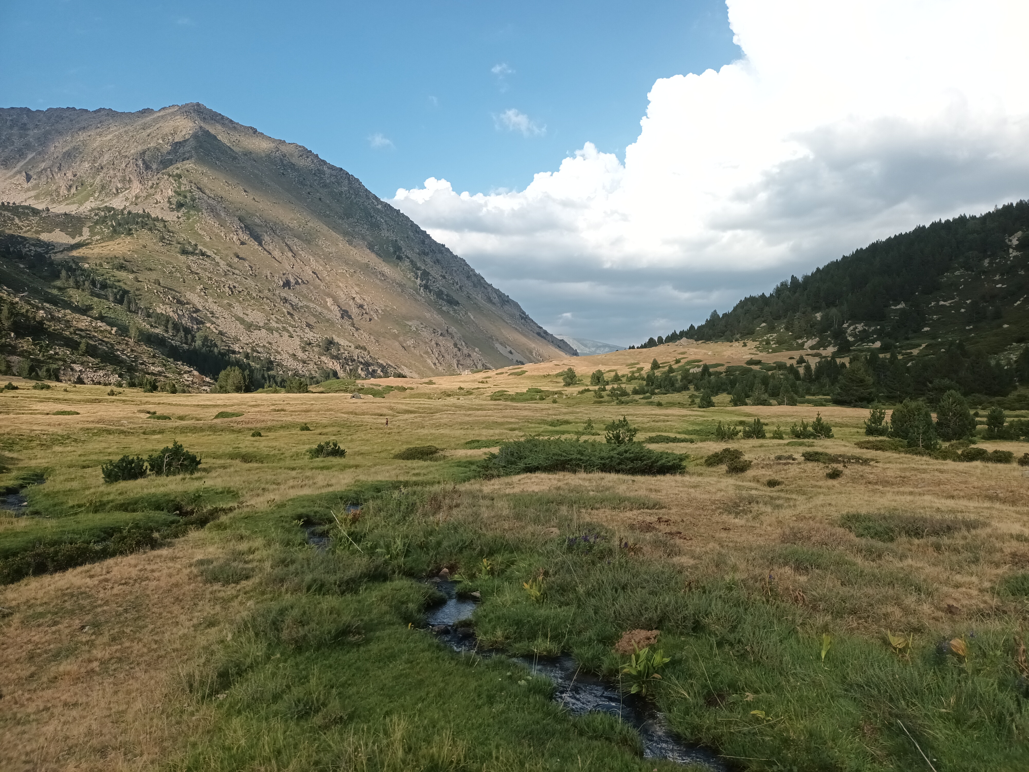
Along the way, we hiked parallel to the raging Campcardos, whose tributaries occasionally offered us a chance to get water. It was hot.
As we continued, it became obvious that we were on track to arrive at the border at the very end of the day. That wasn’t convenient, since it might be difficult to find a good spot to camp there.
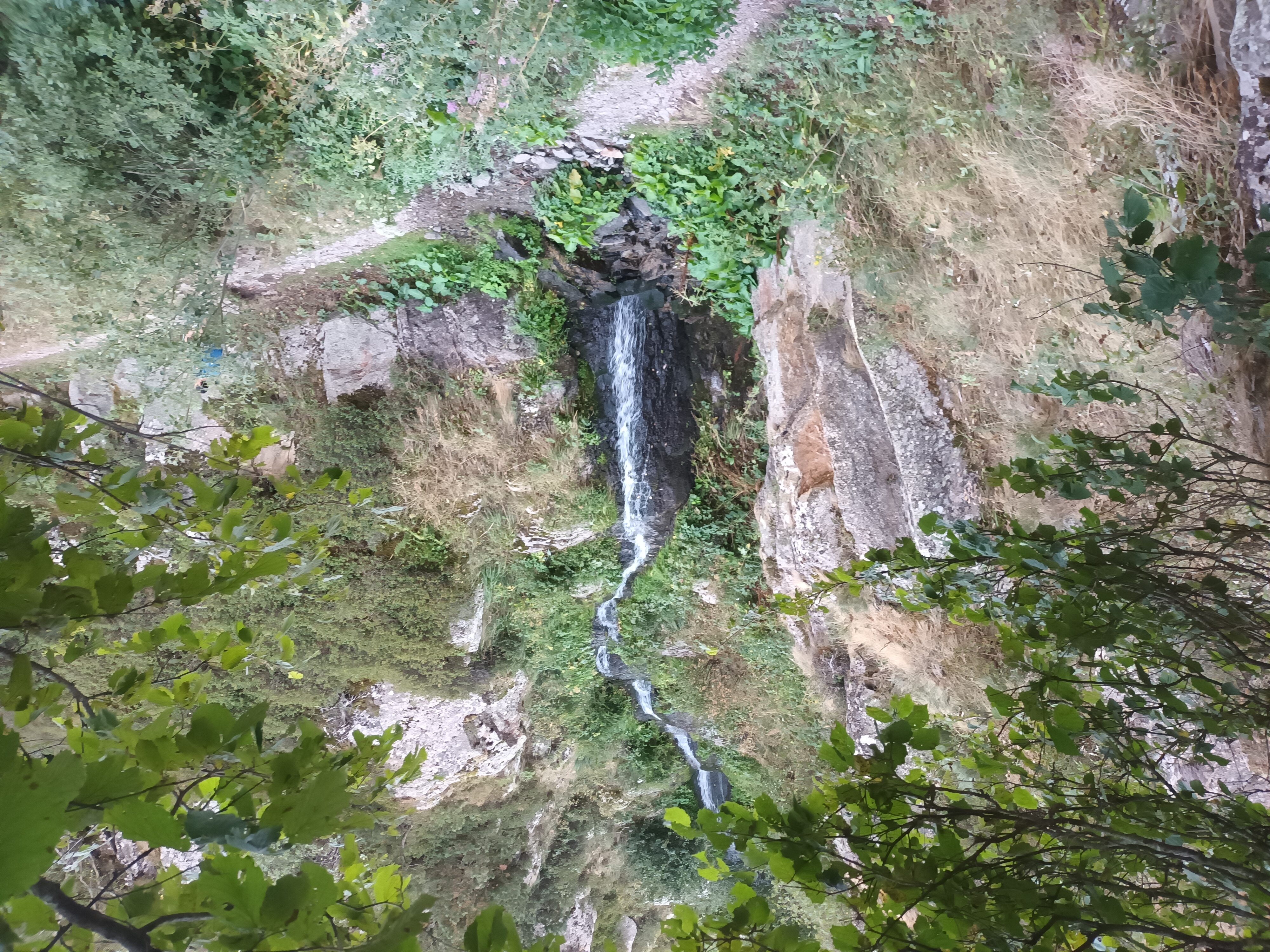
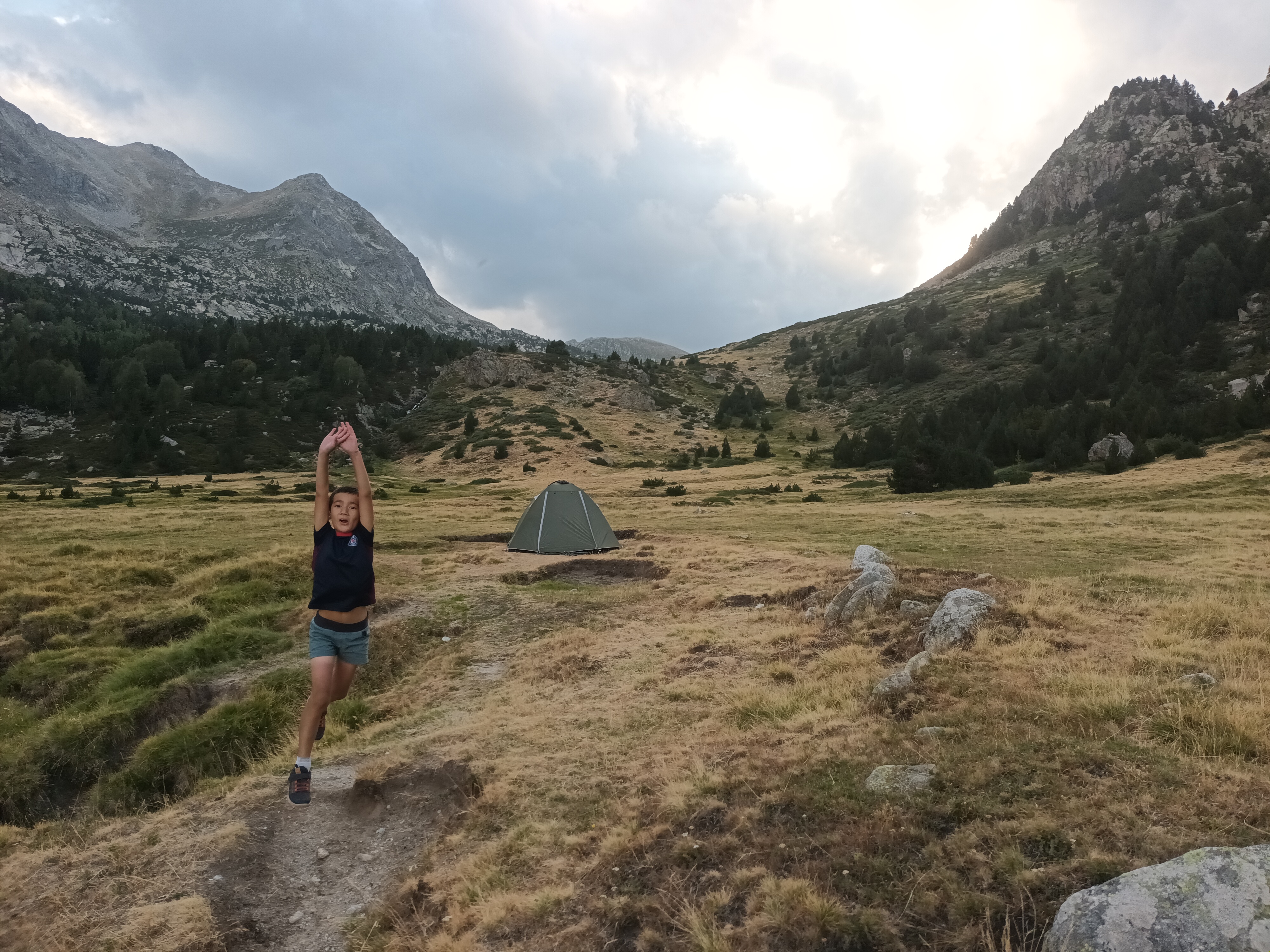
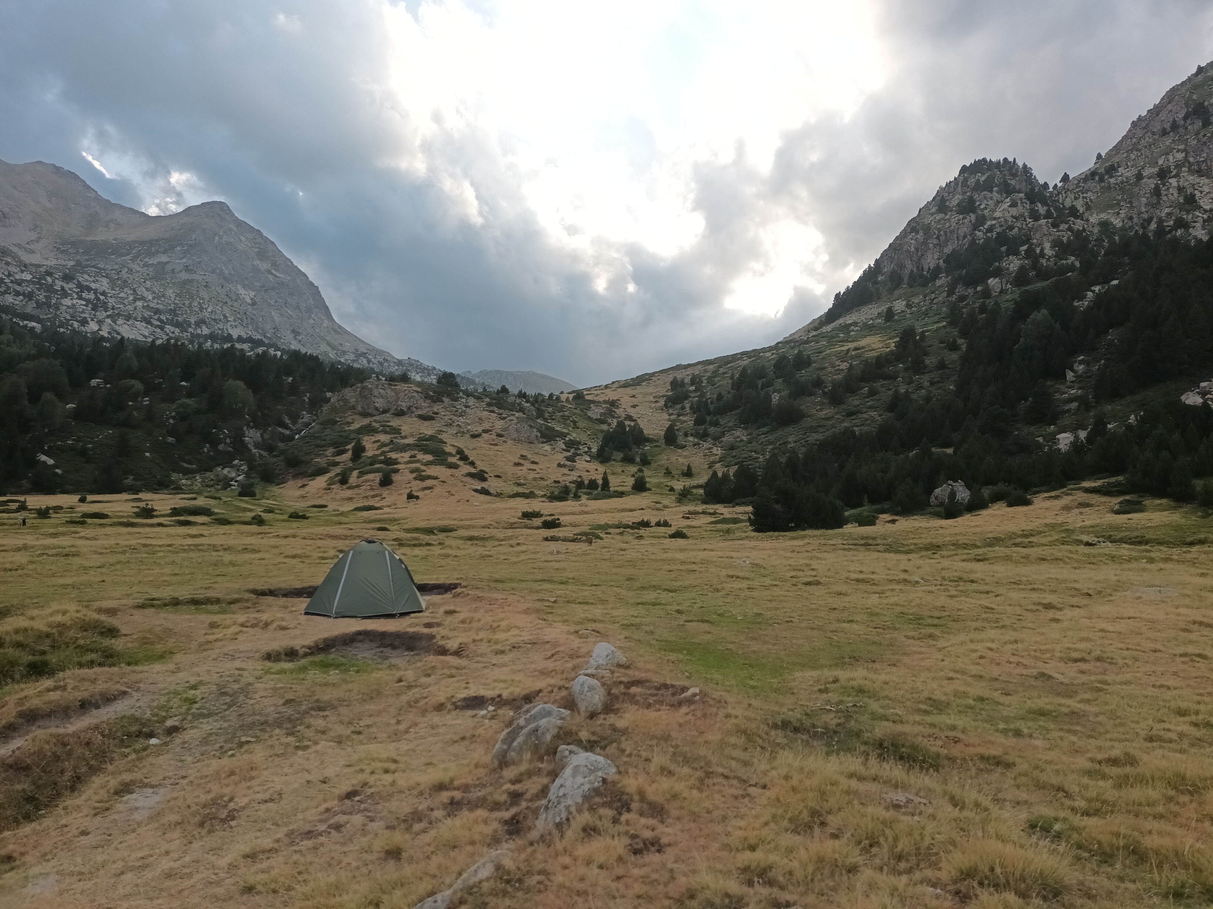
When we came across a great spot to camp next to the creek, we decided to stop there. We could always finish the trail 4he next morning. In the meantime, the kids got to play in the water and visit a nearby waterfall. We weren’t too far from the end.