Monday, August 4, 2025
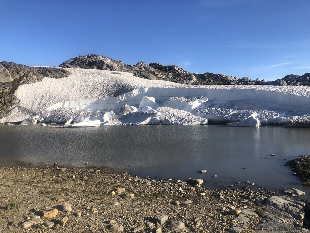
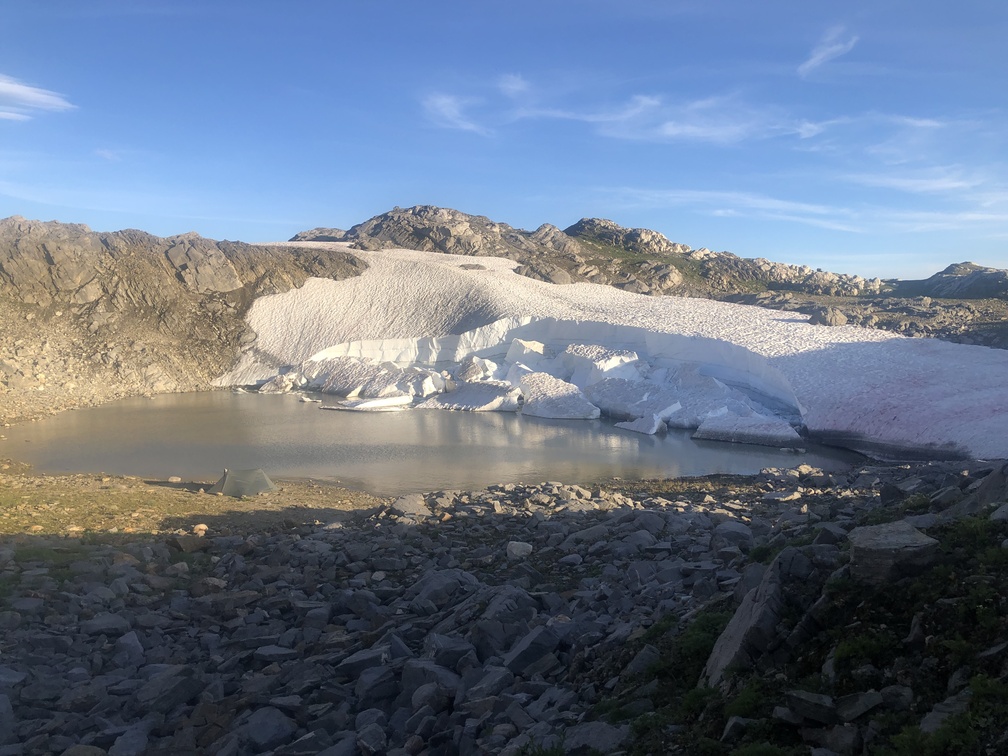
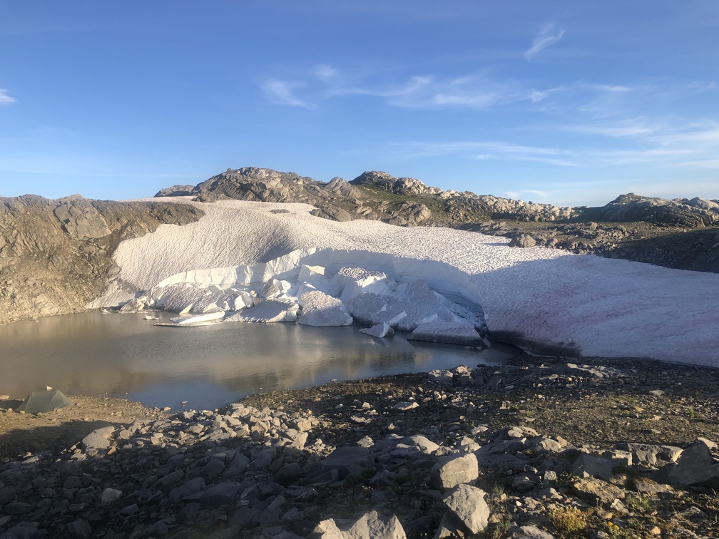
End: Hidden Iceberg Tarn
Route (km): 21.1
Total (km): 167.7
Actual (km): 24.9
Hours: 12.5
Total (hrs): 97.2
It turns out that the gale force winds were not restricted to my camp.
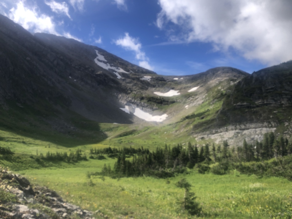
After I packed up and left early in the morning, I was blasted all throughout my hike as I climbed up to a ridge. Highly motivated to get moving, I made good time through the alpine zone.
I was blessed not to be faced with significant rock scrambles. The only mishap was when a rock I was standing on gave way and broke off, causing me to fall a bit and hurt my hands. Standard fare for this route. From this ridge, I descended down through a burned-out area to a lake, and climbed right back up. I was careful not to incur an injury so far into my hike.
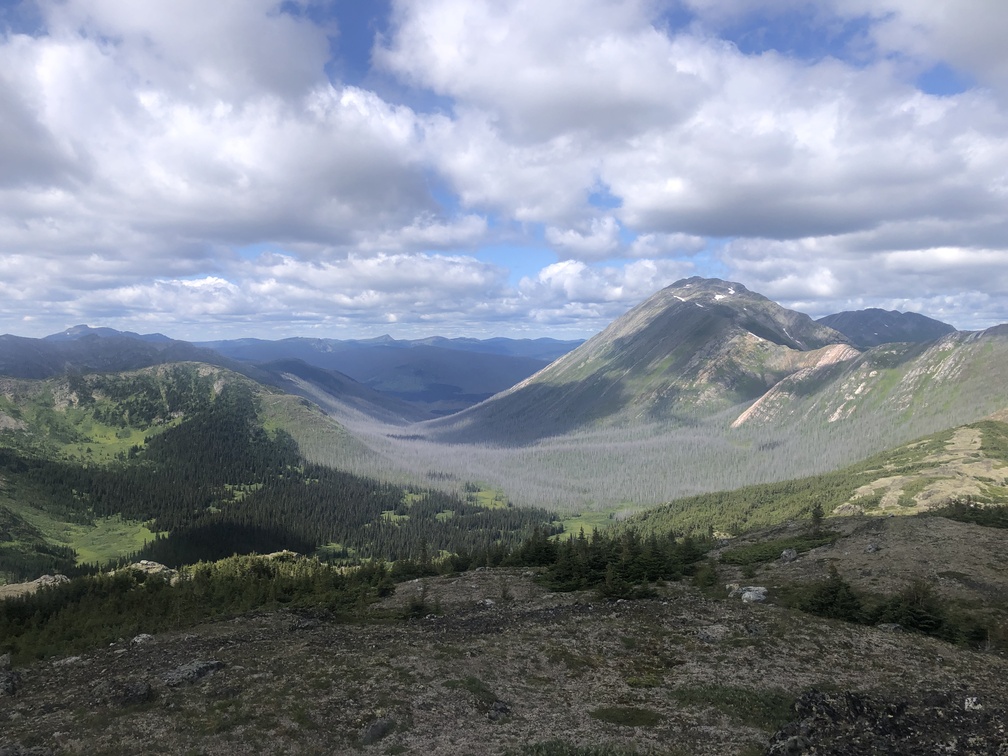
The views from this area are stunning, as they are on many portions of the Misinchinka High Route. But today I just wanted to get moving. My plan was to advance far enough to be able to finish the following day. I was slightly surprised to find myself descending back down below 1400 meters elevation, as I had hoped to be done with any and all bushes. But I pushed through, filled my water bottles, and started the climb to the final, long ridge.
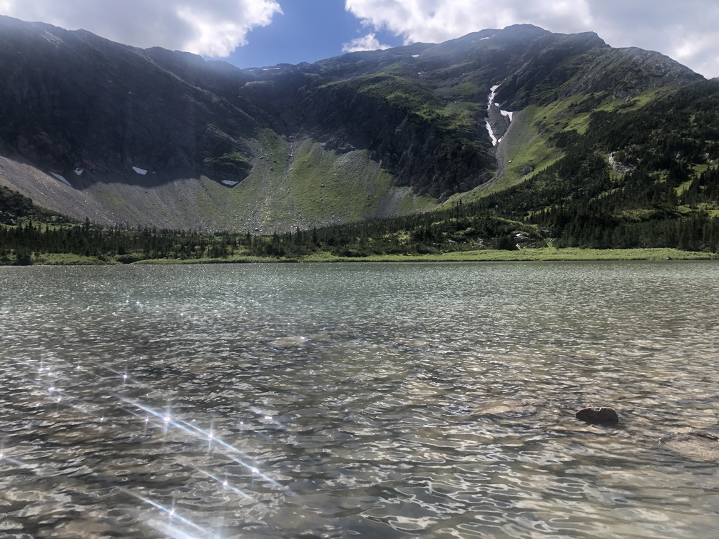
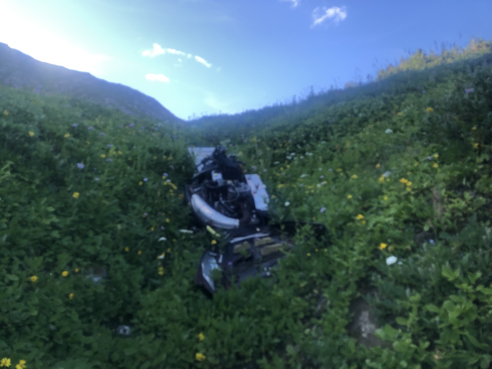
My mission became finding a spot to camp out of the wind. I was growing tired as I passed a broken down snowmobile. Up on the ridge, I came across a beautiful tarn in a bowl depression, with big chunks of ice in it. I camped here, mostly out of the wind. Tomorrow was the big day.
