Sunday, July 27, 2025
End: Iceberg Tarn
Route (km): 35.4
Total (km): 35.4
Actual (km): 31.7
Hours: 10.3
Total (hrs): 10.3
Imperial Creek Forest Service Road
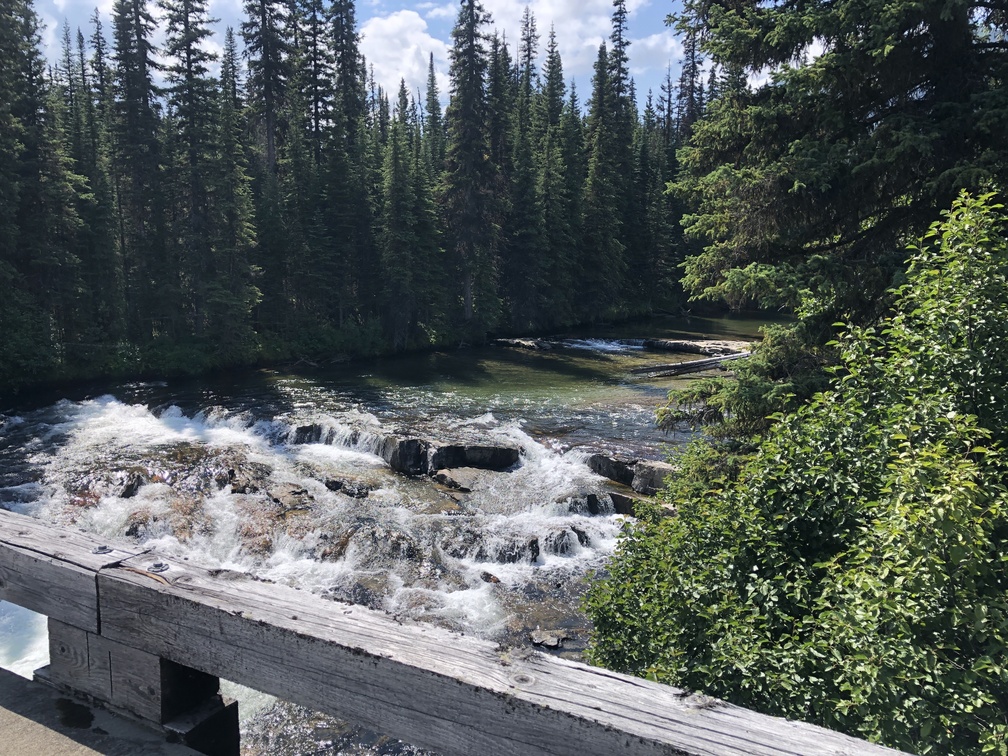
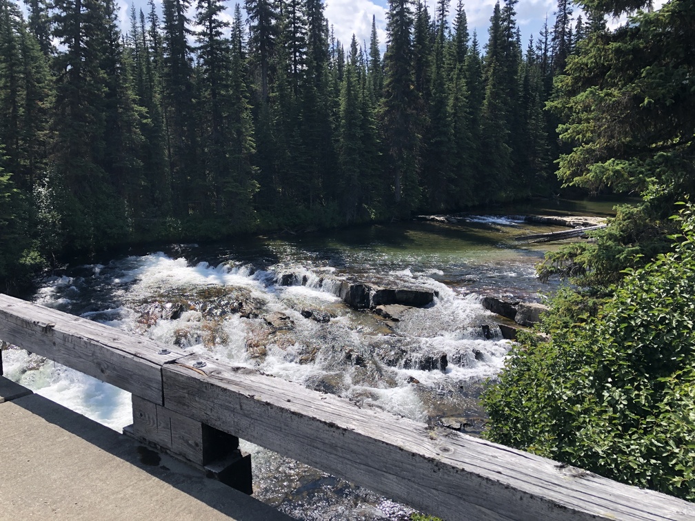
If you are looking to connect your footprints from the Great Divide Route, you will want to walk the Imperial Creek FSR, as I did. I started at the bridge over the Murray River, which I had crossed underneath as I finished my hike to the Kinuseo Falls Campground on the GDR, and did the 20 kilometer roadwalk. It’s not very exciting, but it was a familiar setting for me to get walking and head back into the wilderness.
Leaving the Road
I had mistakenly thought that I would be walking to the very end of the road, then leaving the road. Actually, the route turns North and leaves the road at a point where the road still continues on a bit further. The hike up the mountain would normally be quite a tough bushwhack, but I was able to avoid that by sticking right on the route. I recommend sticking close to the route for this climb.
Approaching the Iceberg Tarn
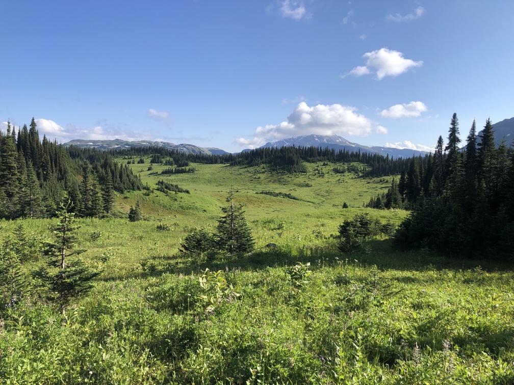
I don’t have a strong memory of the beginning of the approach to the tarn, but the satellite imagery show that the route links several meadows together. As I got closer to the tarn, there is a small rock chute that I had to navigate with some careful stepping. To get to the tarn from there, it was a short, steep descent followed by a small climb.
The Iceberg Tarn
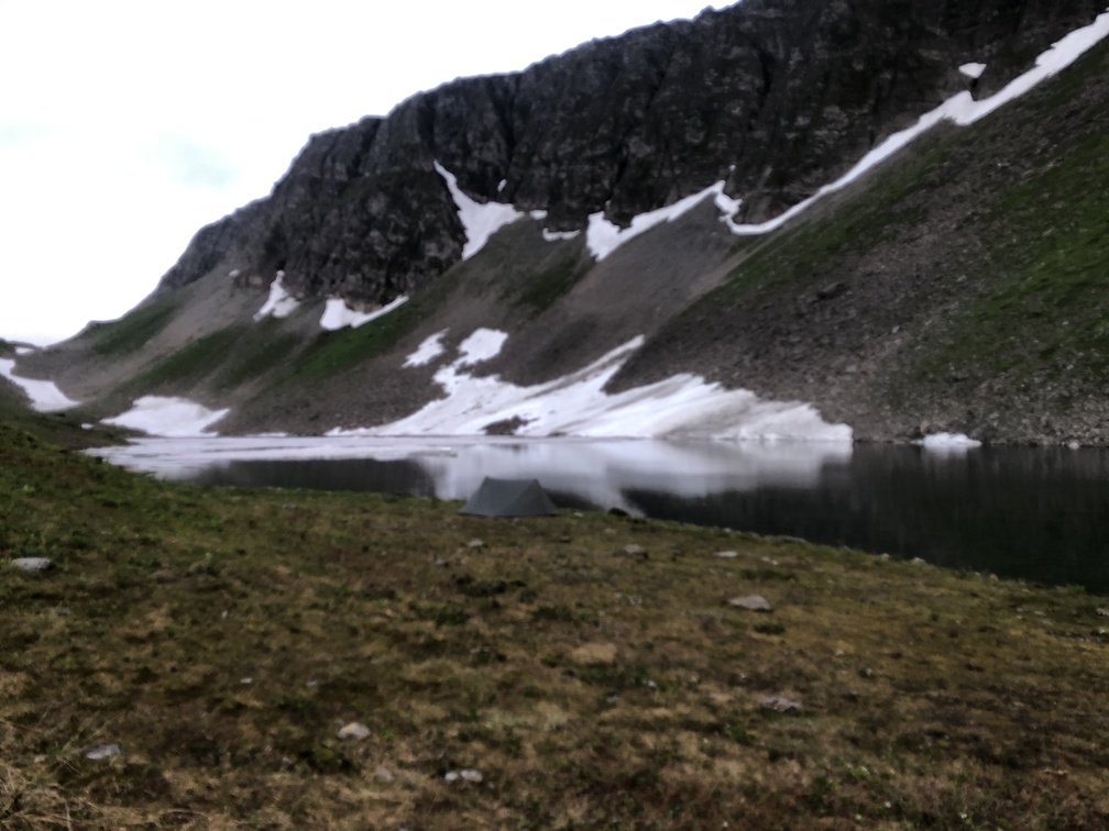
This was a beautiful spot. The tarn had several large slabs of ice floating in it, mostly concentrated on the South side. Even I managed to find a good spot to pitch my tent. I recommend it as a good spot to stop after doing the full Imperial Creek FSR roadwalk. At 10 hours, it wasn’t a long day, but my backpack was quite heavy with food prepared for the whole Misinchinka High Route, so I wasn’t looking to do longer hiking days.
