Thursday, August 15, 2024
End: Cabanes du Talon
Ascent: 1100 m
Descent: 1000 m
Distance: 22 km
Total: 38 km
Wow. This was a tough day on the trail. We woke up at the Plan Bas Cabin, and took our time eating and packing up. It was raining lightly, which didn’t encourage us to start out too quickly.
We started our hike in the rain. Alex and the children were happy to have their jackets and pants. My only clothing was a light t-shirt and shorts, as I didn’t want to carry anything extra.
The forest gave us some cover from the rain, and our hats helped a little as well. But it was still chilly and wet as we began our long climb. Right off the bat, the trail started a series of switchbacks that became increasingly daunting as the trail narrowed and there was no margin between the footpath and a long drop.
We tread carefully. At one point, the drop was so great and the trail so narrow, that a wire had been installed along the cliff to hold onto.
As we continued, I was getting progressively more cold. We were climbing well above 2000 meters, and the wind was picking up. We traversed yet another dangerous section which required a guiding wire to avoid a catastrophic fall, and kept climbing.
I was getting colder, and thinking about setting up the tent if need be. We then crested the top of a hill, and were hit with gale force winds. We were all instantly freezing, and Alex wisely decided we should go down a few steps and pitch our tent.
We frantically set up the tent and staked it down as best we could, and dove inside. We all took off our wet clothing and huddled together in our sleeping bags, Alex setting her back to the wind and keeping the tent wall from caving in too much.
We huddled there in the howling wind and rain, wondering how long it would last. We knew we would have to move eventually, as our spot was not great. Finally after much prayer, the rain stopped and the wind died down. We quickly seized our opportunity, and packed up.
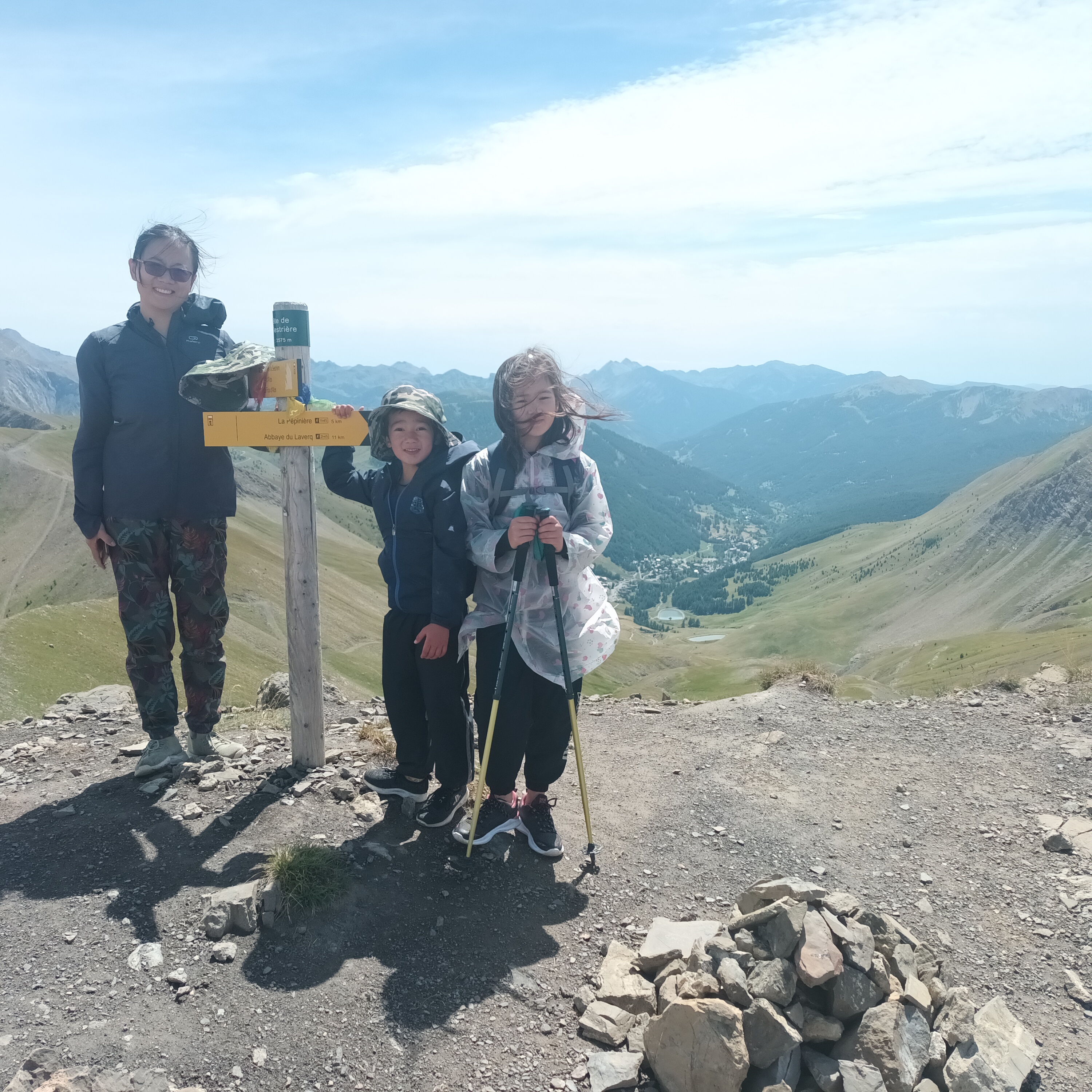
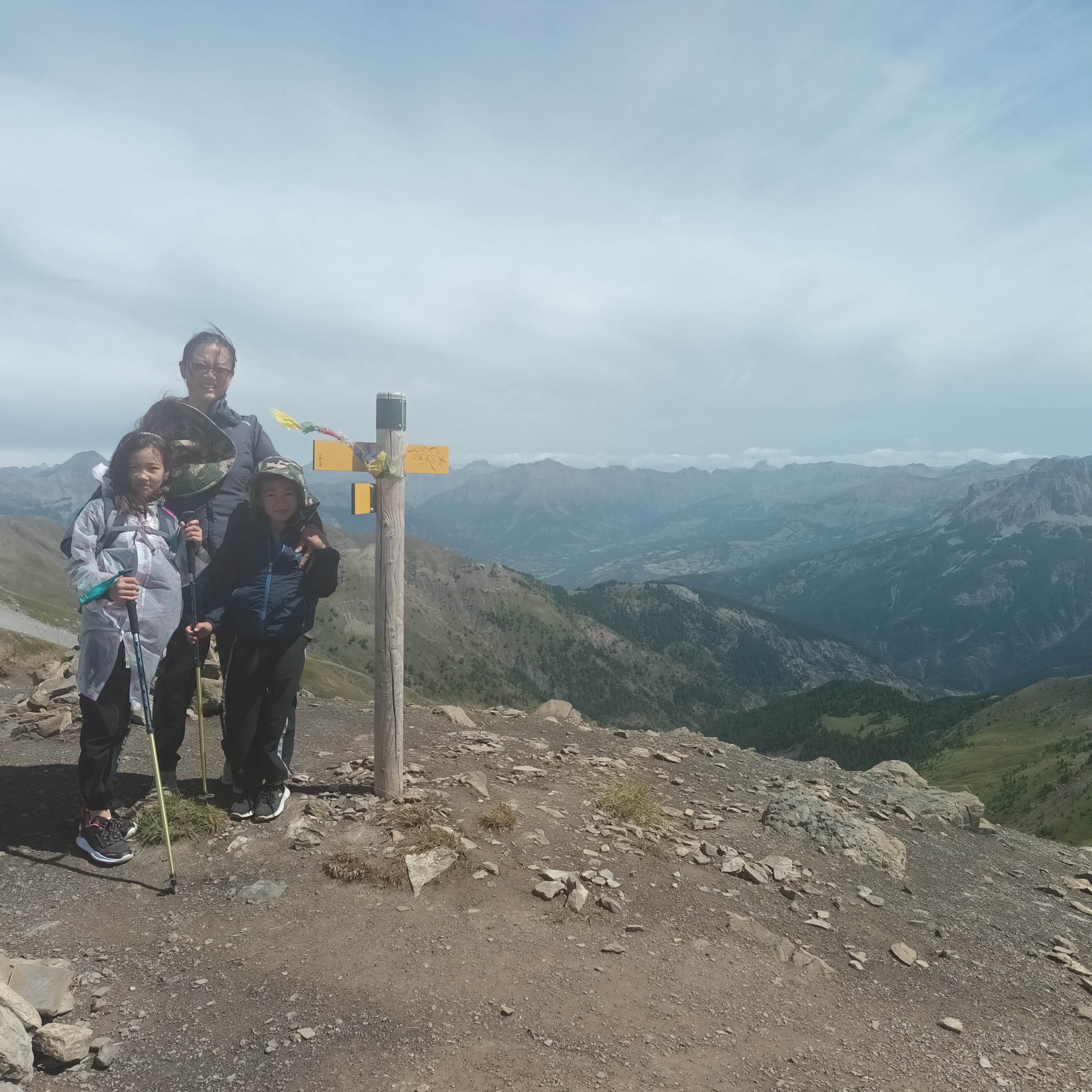
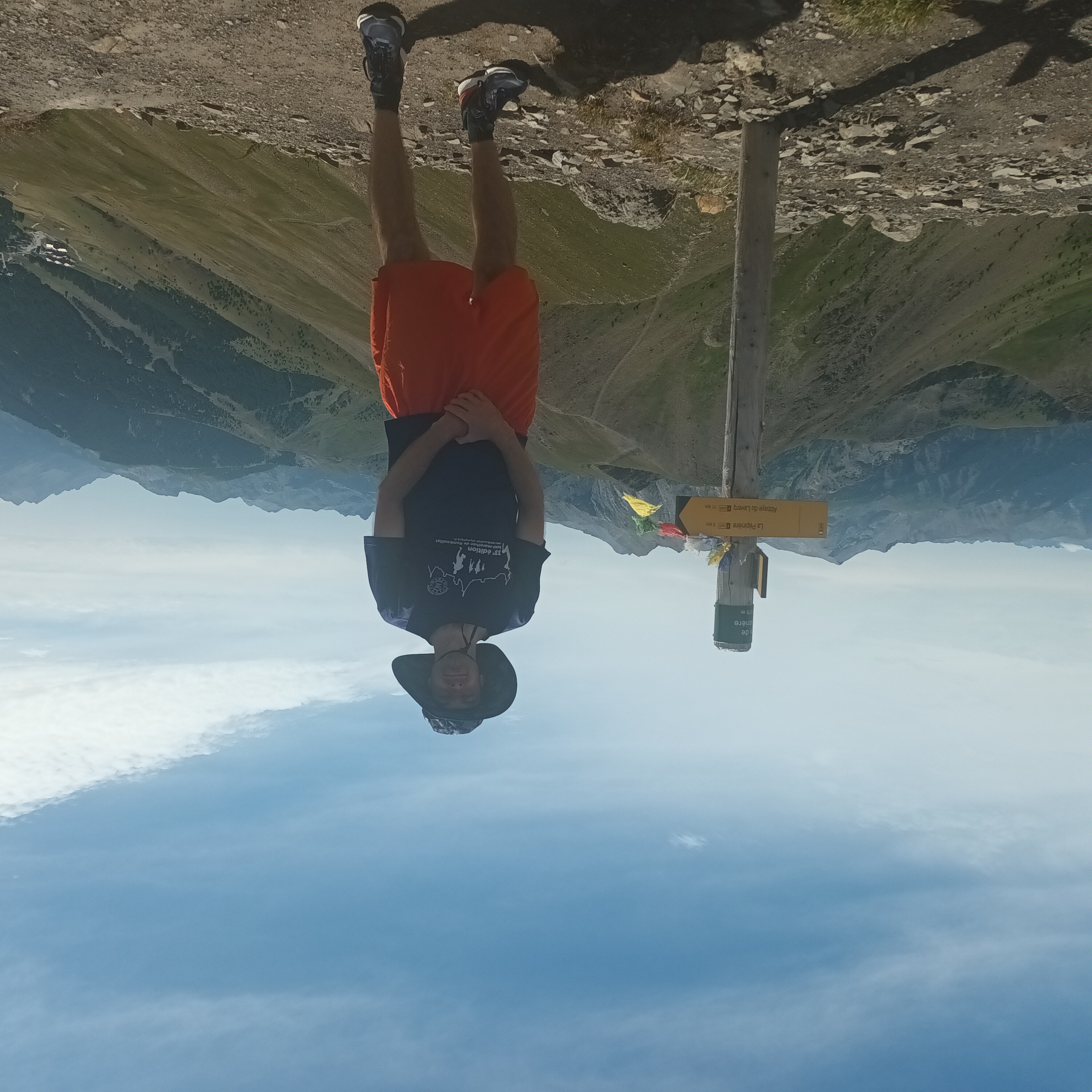
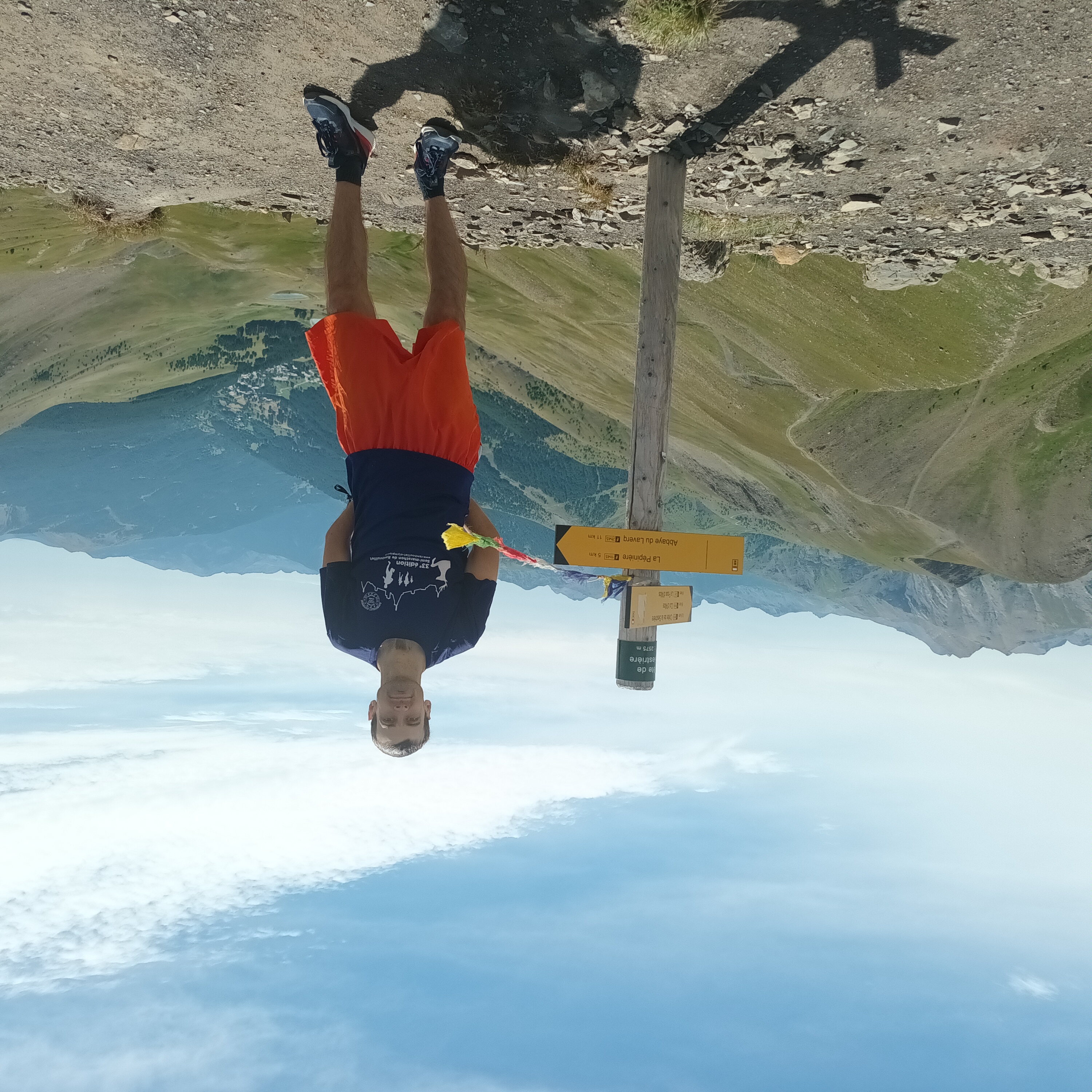
There were a few gusts left, but before we knew it we were blessed with sunshine. We continued our climb, and finally made it to the Tête de Sestrière. At 2575 meters altitude, it is probably the highest point on the trail.
We snapped a few photos and descended along a ridgeline. We had very little water left. It was raining and I was cold when we had passed the last sources of water, and now we were on a long ridge with no more opportunities.
We walked continuously, and did a little climbing by hand at one point. The trail was mostly much easier, as it followed trails made to support the local ski lifts, and we were close to Foux d’Allos where people were coming from to use the trails.
We finally made it to Allos Pass, where a road intersected the mountains. The road was closed as was the refuge, because of a landslide earlier in the year. We knew that was going to be the case, but it still hurt not to be able to find any water.
We hiked on and on, past herds of cows with their clanging bells, and then entered Mercantour National Park. Soon we found a trickle of water, and sat down to cook some food and fill up our bottles. It took me a long time to filter it, but we got it done.
Moving on, our goal was to get to the Cabanes du Talon. They were still a ways away. We hiked on an easier trail through forests and meadows, passing the turn off point for the trail variant to Allos. We hiked on the official trail.
From there, the trail quickly returned to the cliff edge and we stayed on it for hours. For the most part we had become desensitized to being a step away from disaster. I kept an eye on the sun in the sky, and we hiked on without breaks. The children did great, and we finally made it to the cabin right before sunset.
It had been a very long and harrowing day, but we did it.