Thursday, April 18, 2024
End: Pointe de la Courtine
Kilometers: 20.0
Total: 150.5
Alex and the kids slept well on the bed, and I slept in my sleeping bag on the floor. In the morning, I got Miriam new bandages for her foot, which was rubbing against her shoe at the ankle.
The kids were bouncing off the walls. We had a ton of food that we needed to eat, but we just couldn’t eat it all. We ate as much as we could, but I couldn’t help much because I had already eaten too much the night before and was not feeling good.
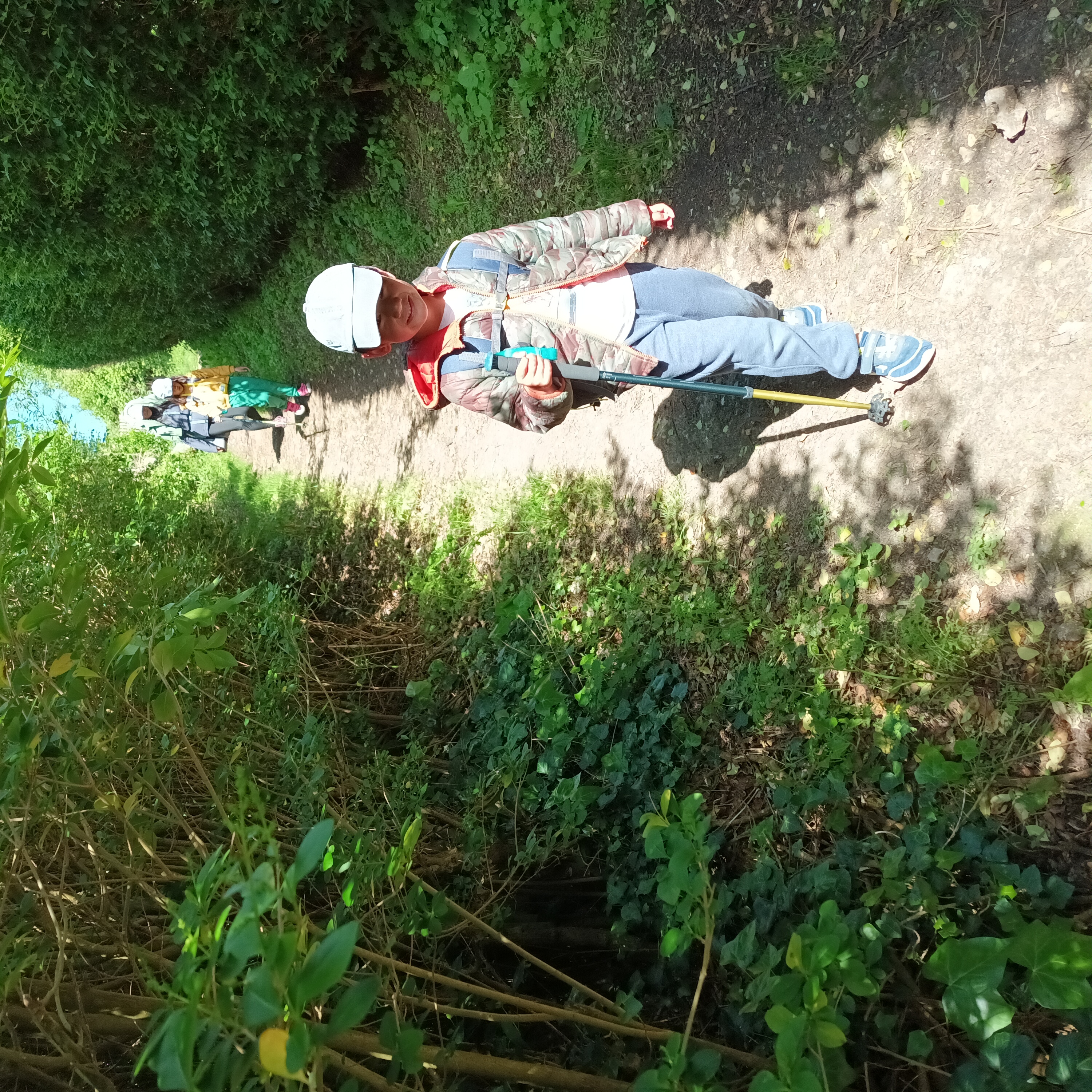
The theme of the day was heavy backpacks. We left Fécamp feeling overburdened and unable to eat any more food for the time being. We hiked along the coast, meaning we were hiking down and up into and out of little coastal hamlets all morning.
We hiked into the little town of Yport, where the kids played on a playground. I wanted to take long breaks because I planned to camp up near Pointe de la Courtine, which I anticipated would be busy until sunset. But it was too windy to stay in Yport for long, so we kept hiking.
Alex’s knee was bothering her. She had felt it before, and with a heavy backpack it was aggravated. At one point after Vaucottes we stopped to sit on some logs, and she cooked up a lot of hot dogs to feed the kids and reduce her pack weight.
At one point I noticed that the blazes kept us on the coast instead of going into Benouville. It is quite rare that the blazes differ from the route downloaded to my phone and the book, so this must be a recent change.
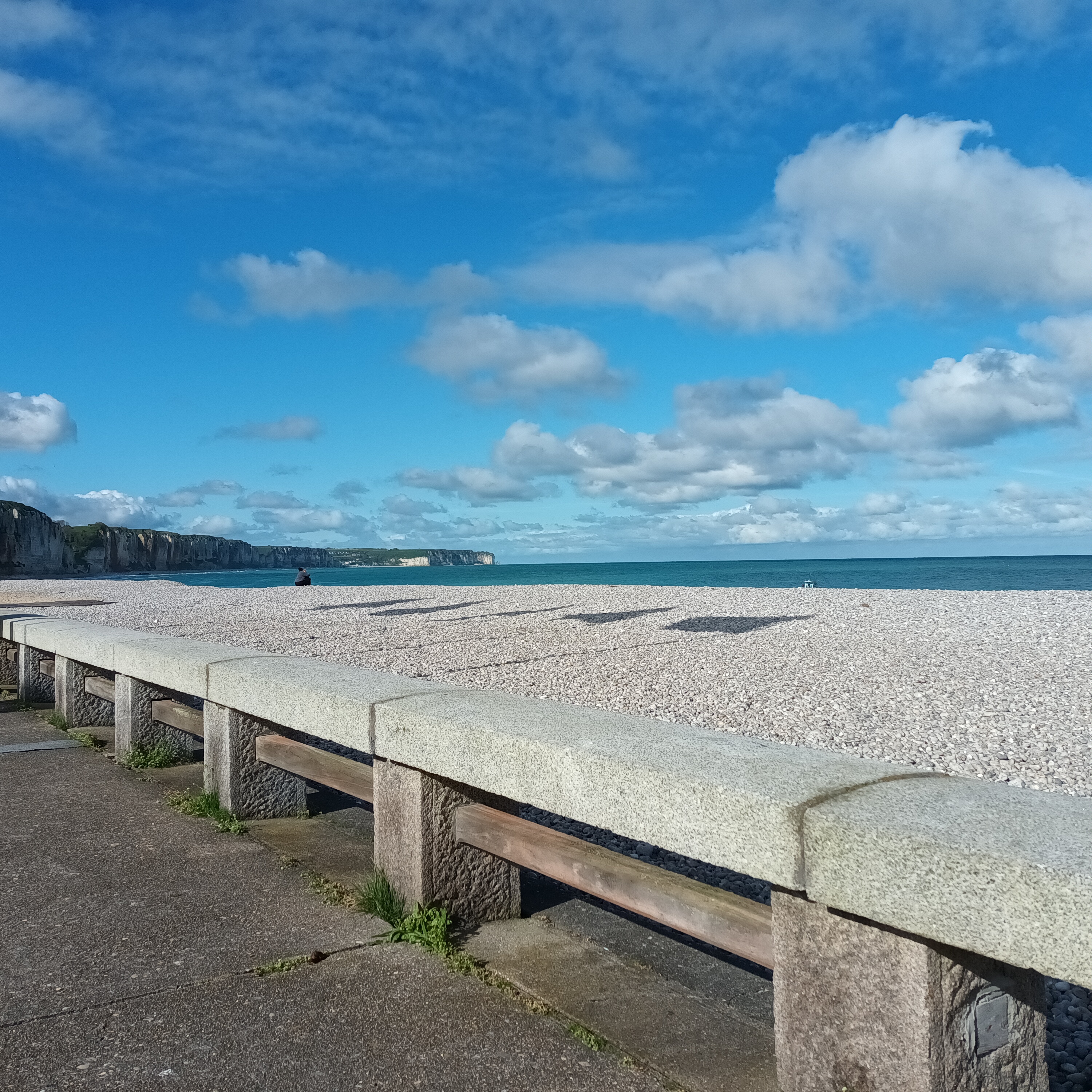
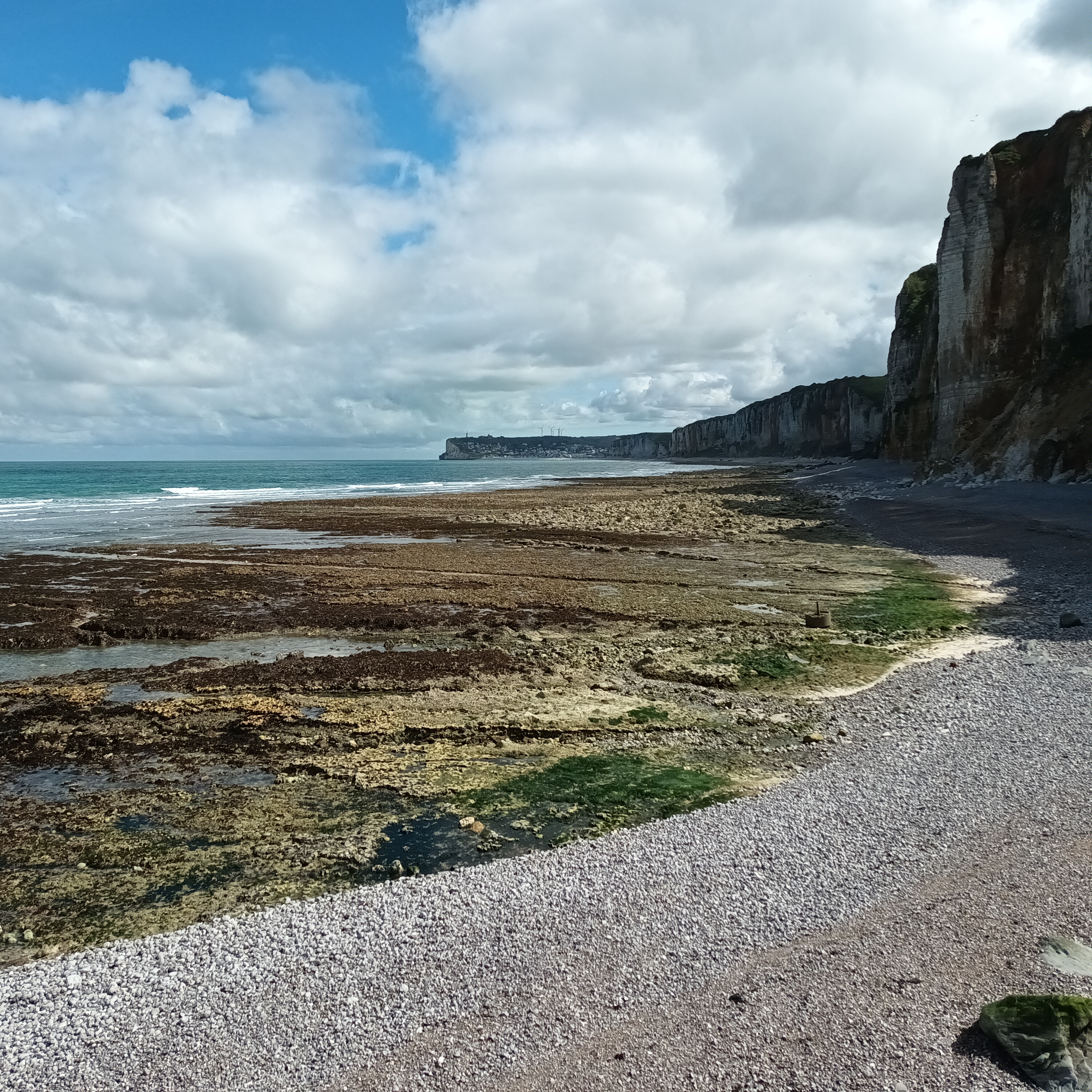
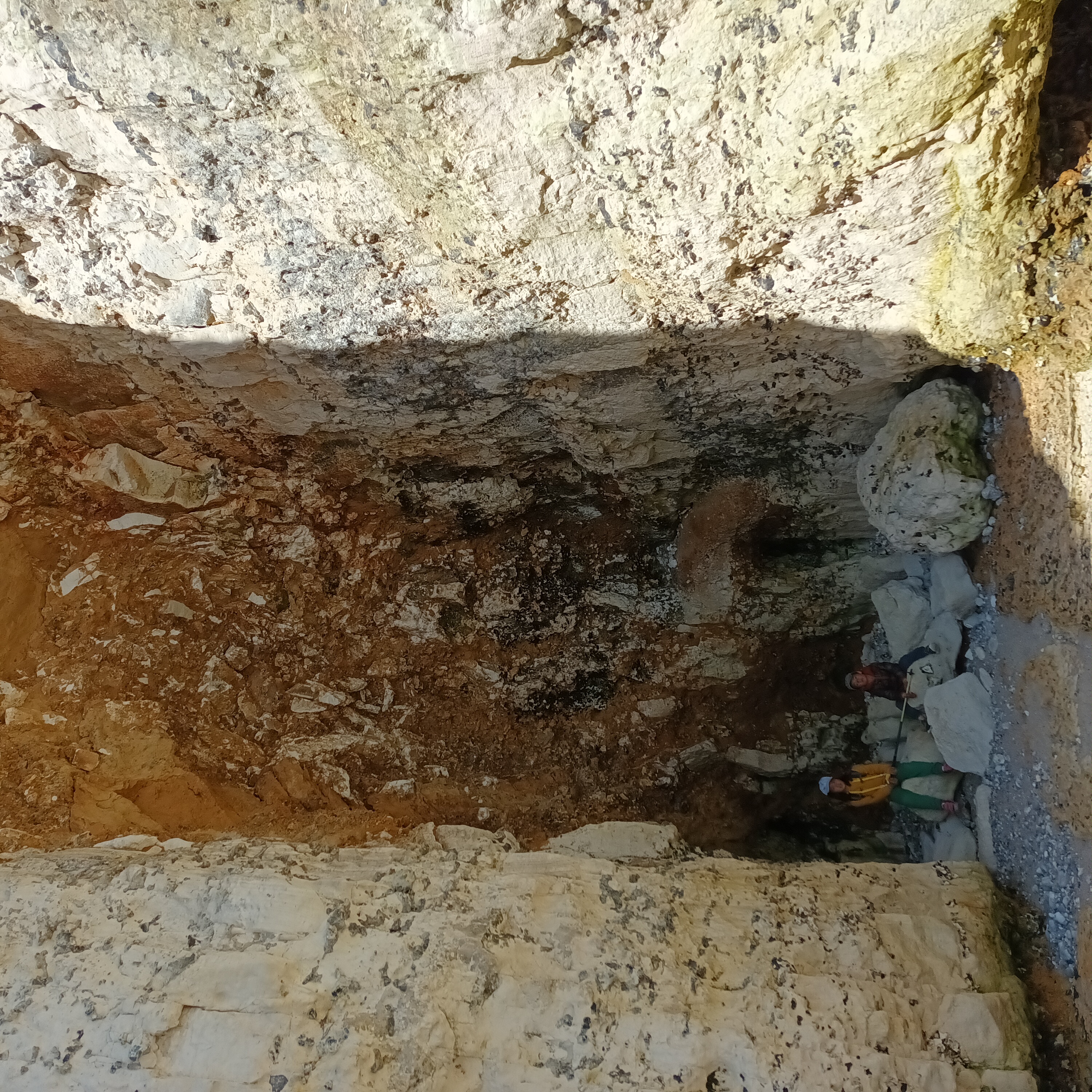
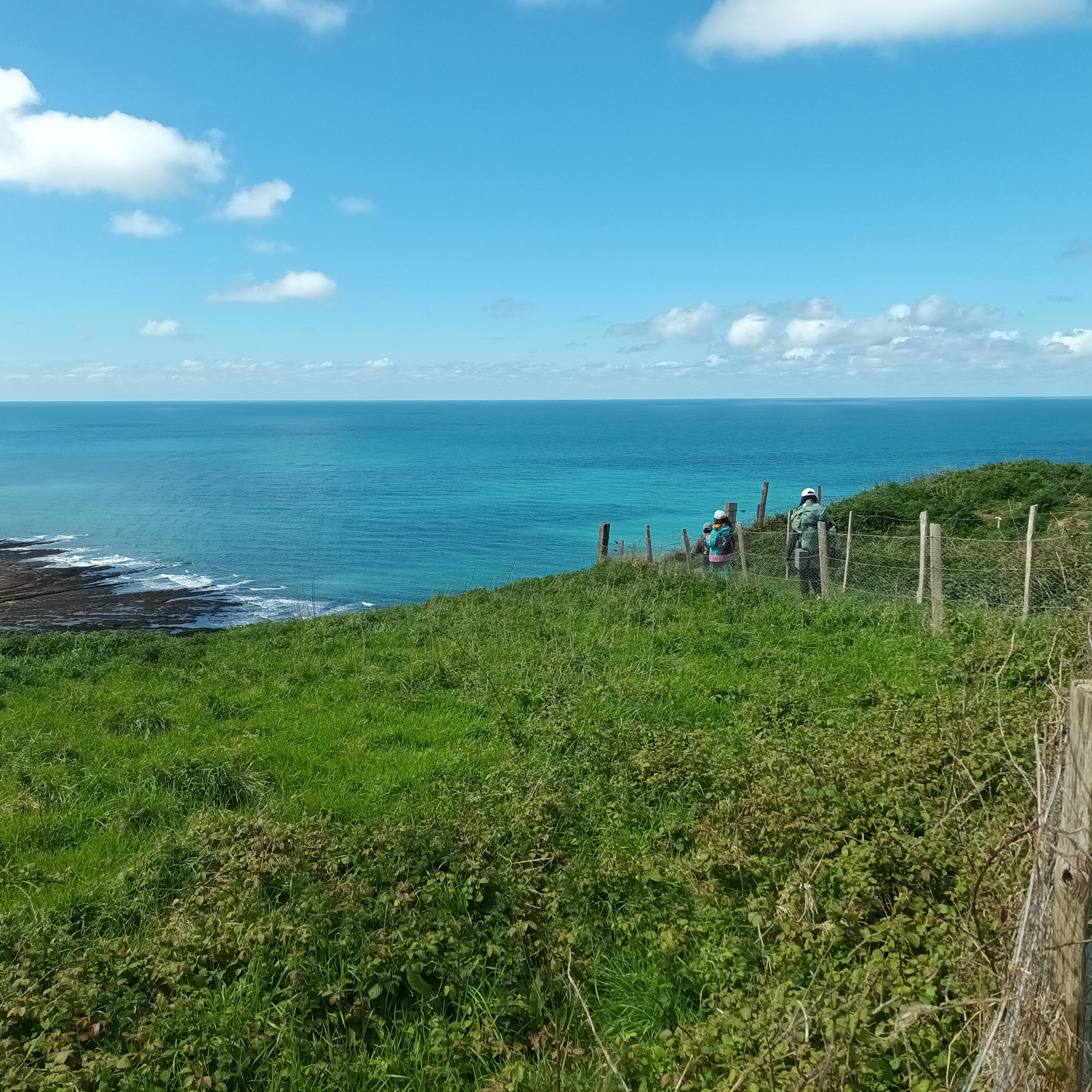
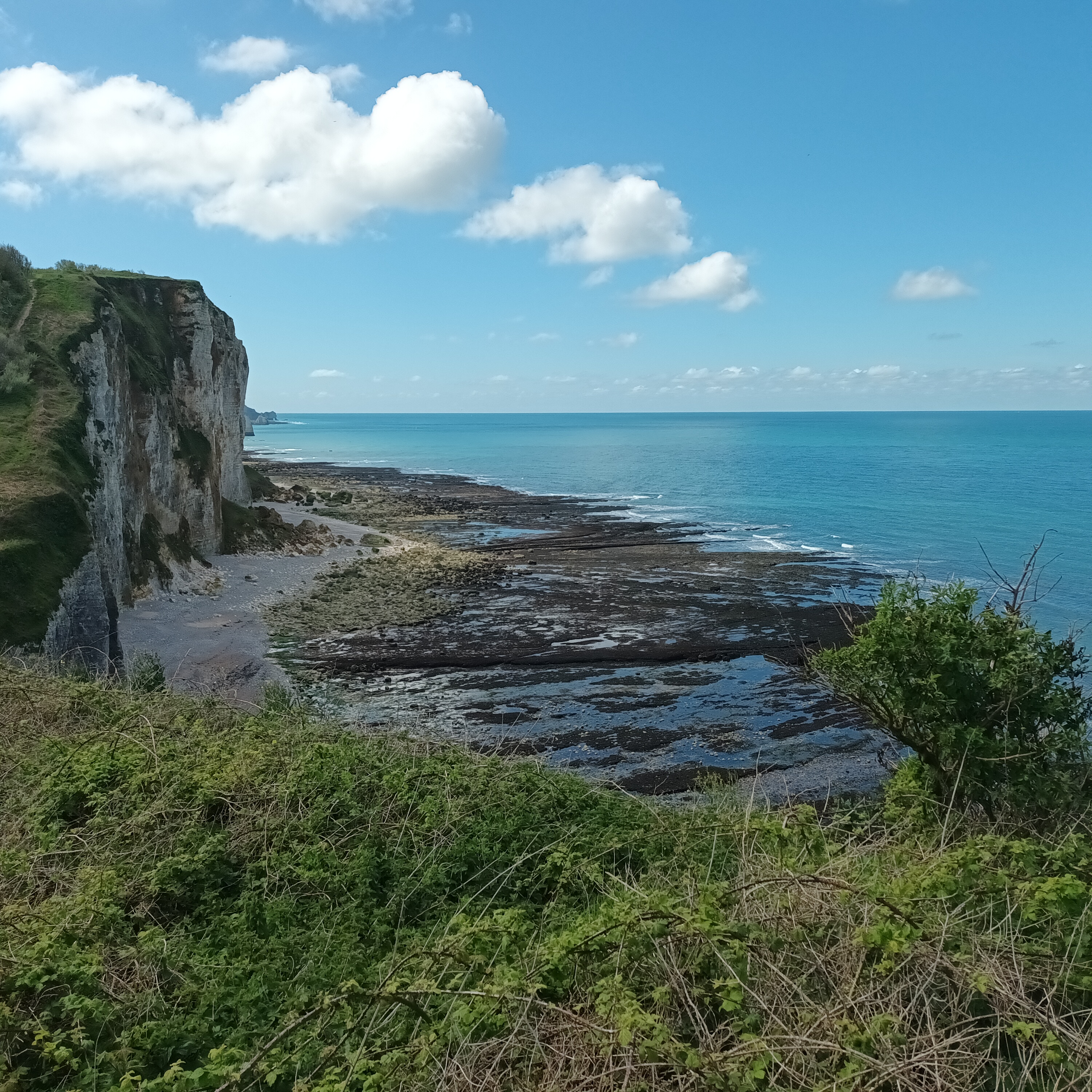
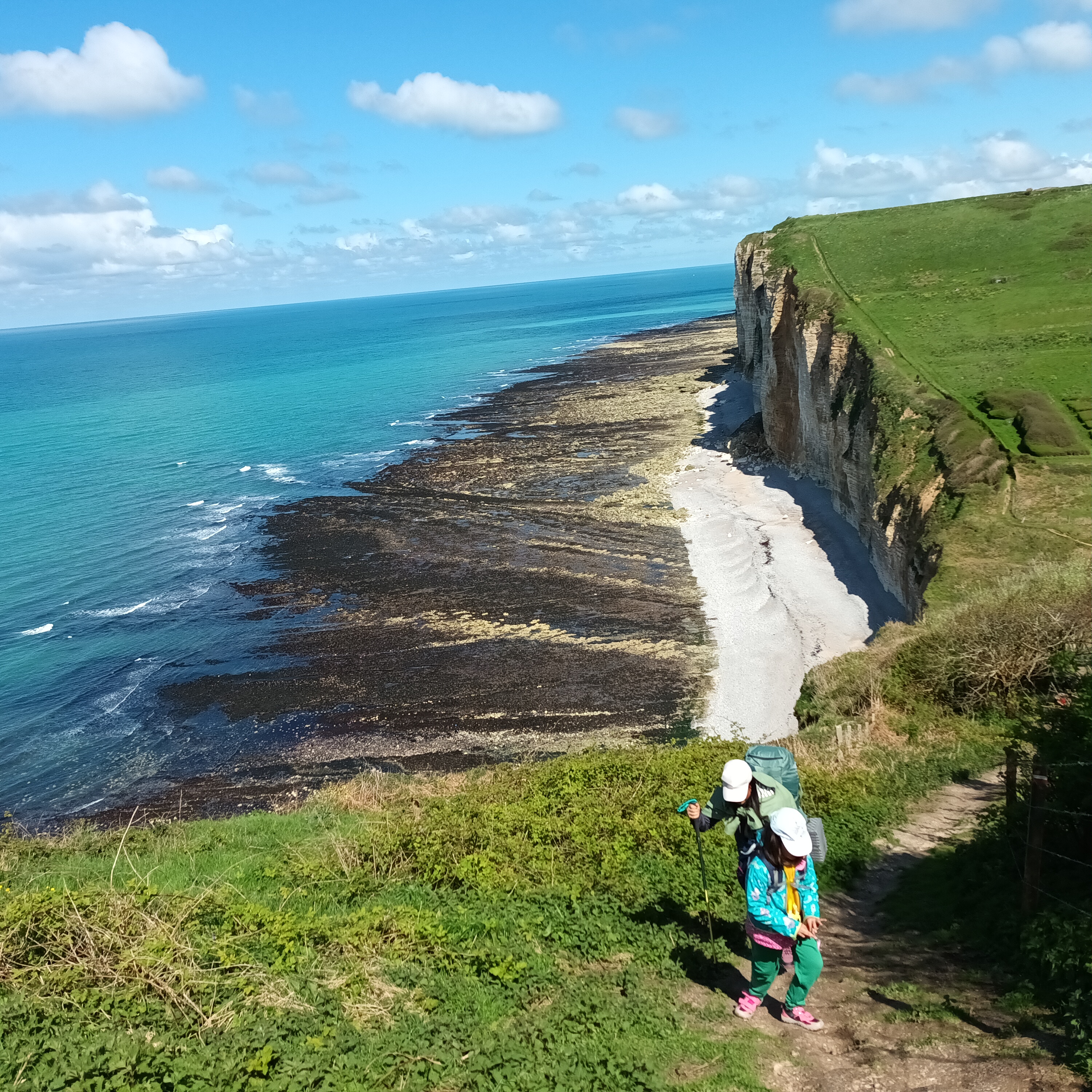
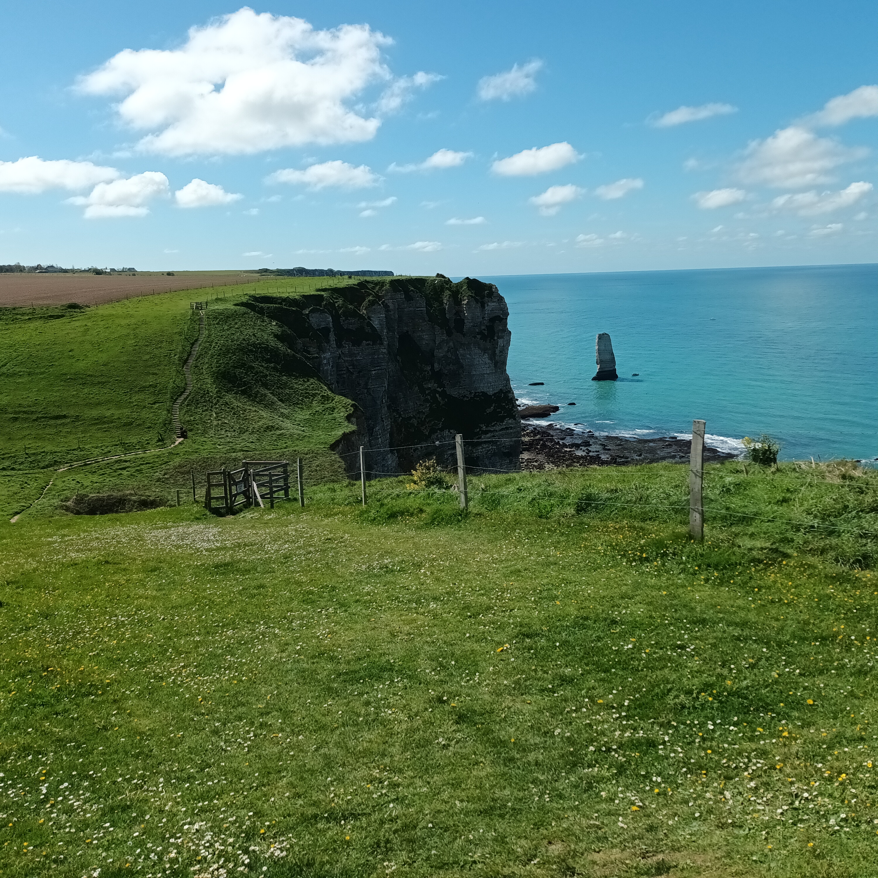
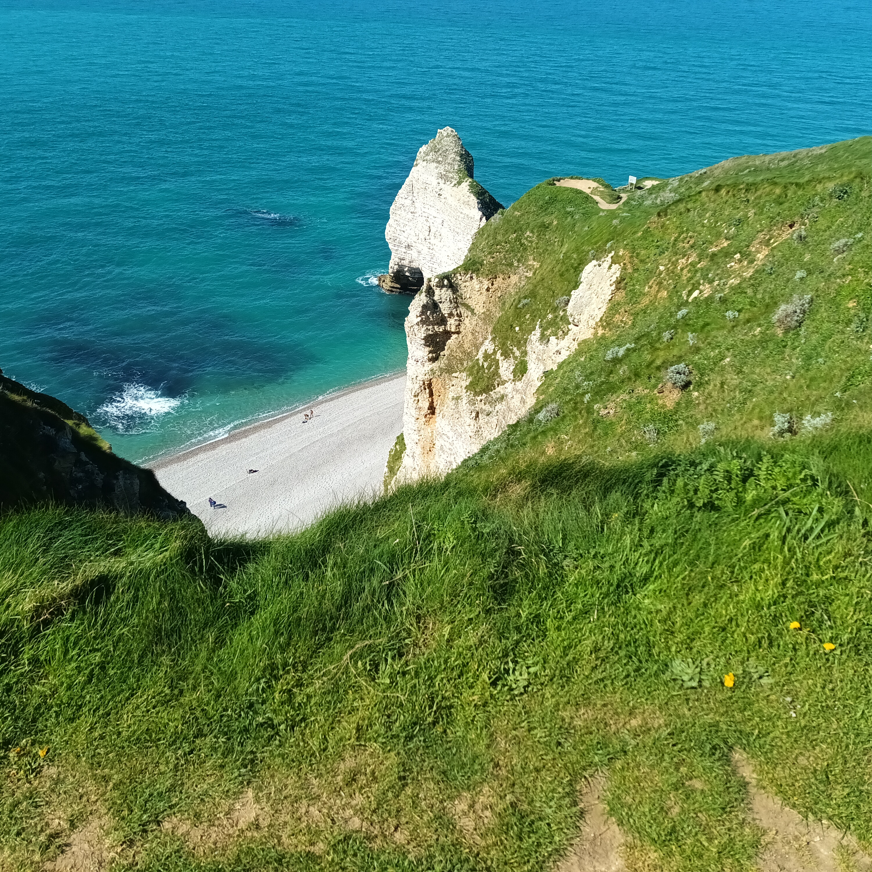
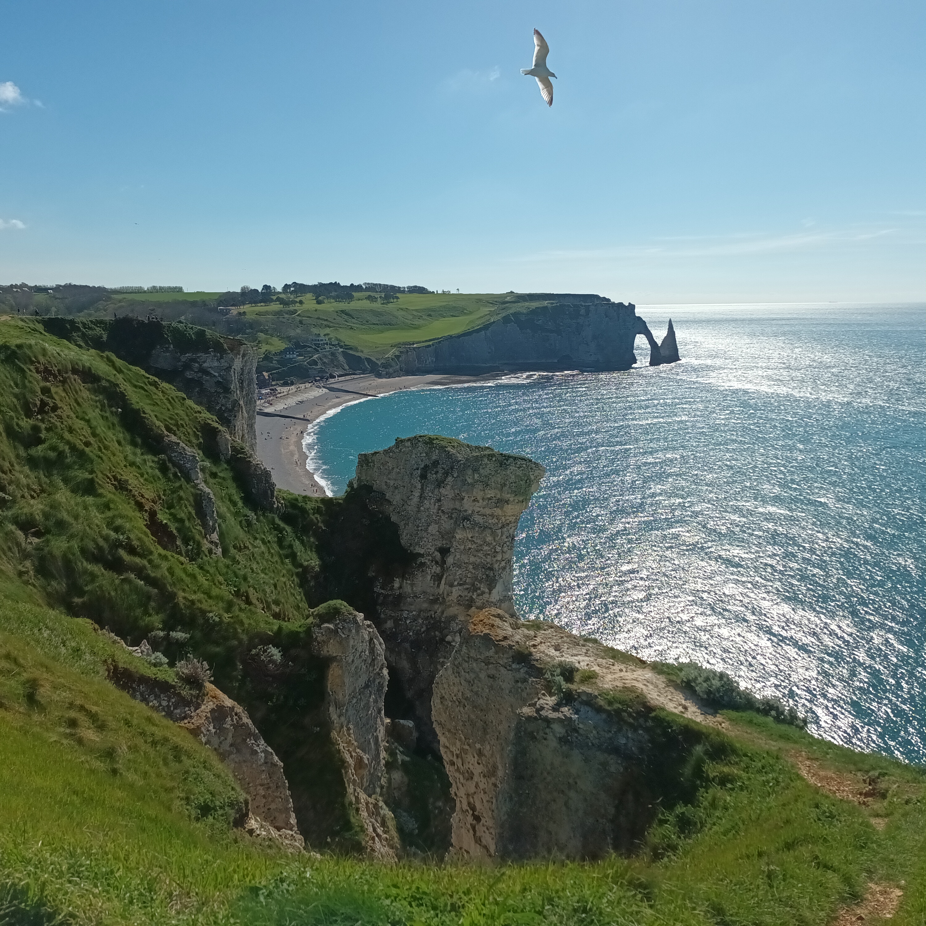
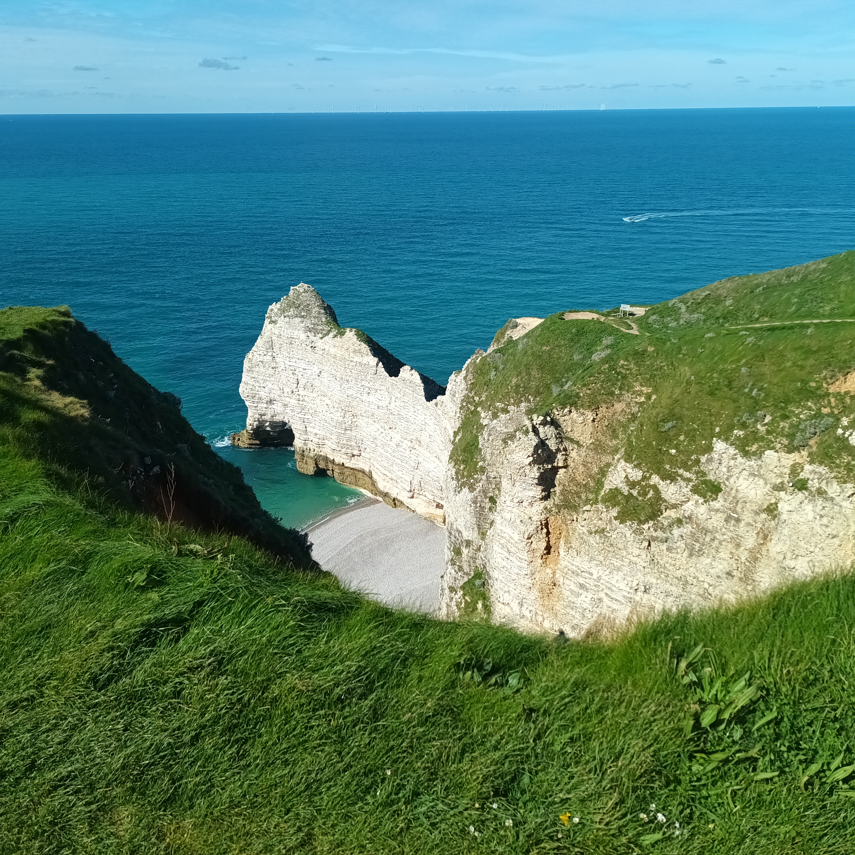
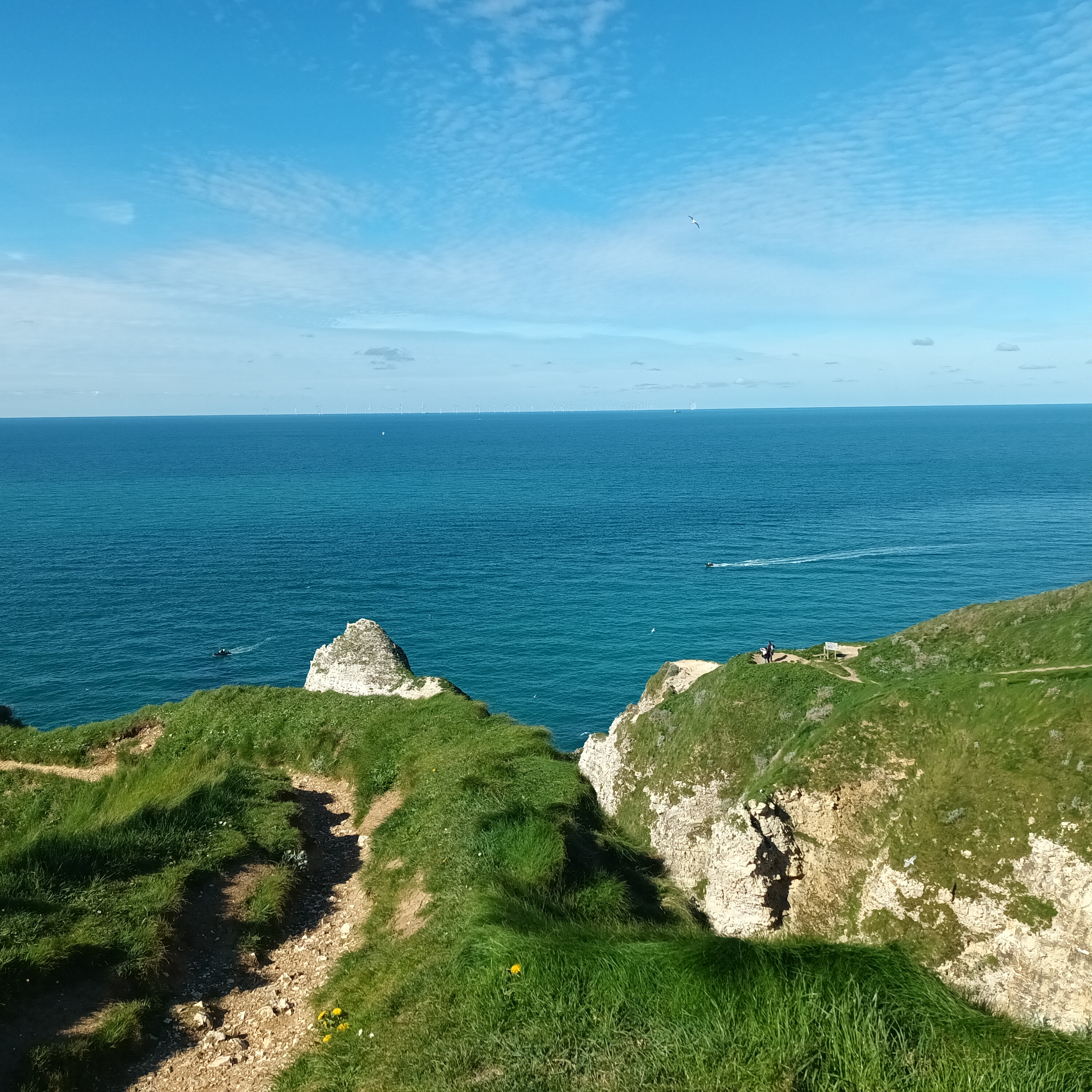
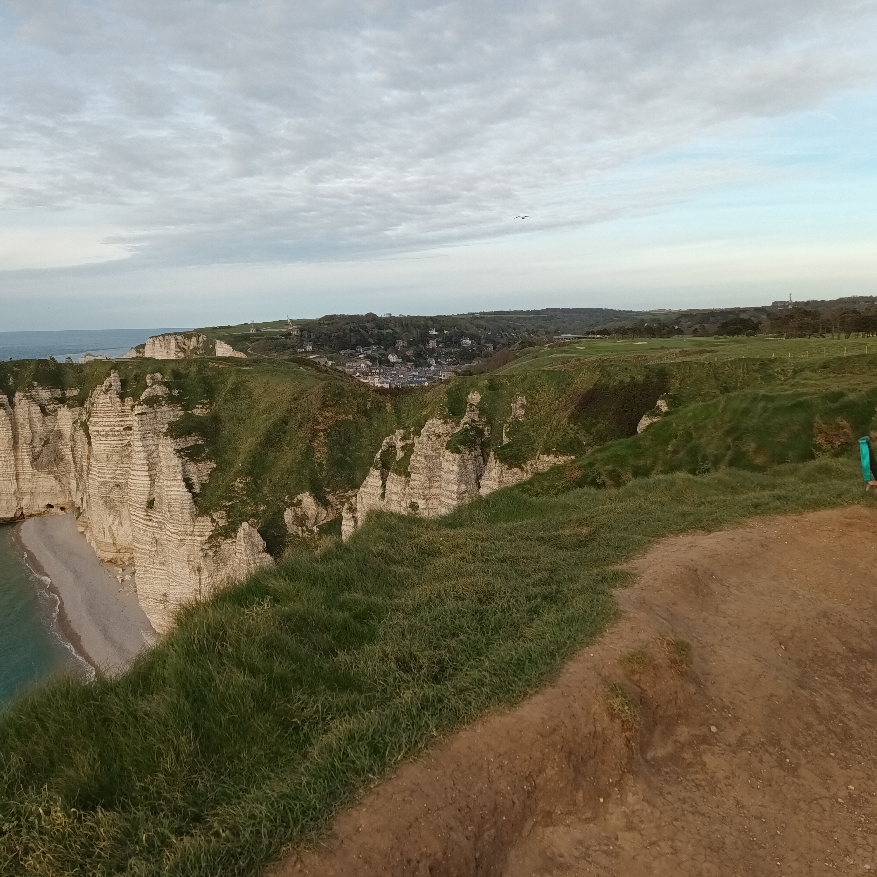
From there, we were on the cliff edge all the way to Étretat. It was obvious that this part of the trail gets a lot more foot traffic than the rest of the GR 21. Ever since we left Fécamp, we have seen a decent number of hikers, and we usually see no one.
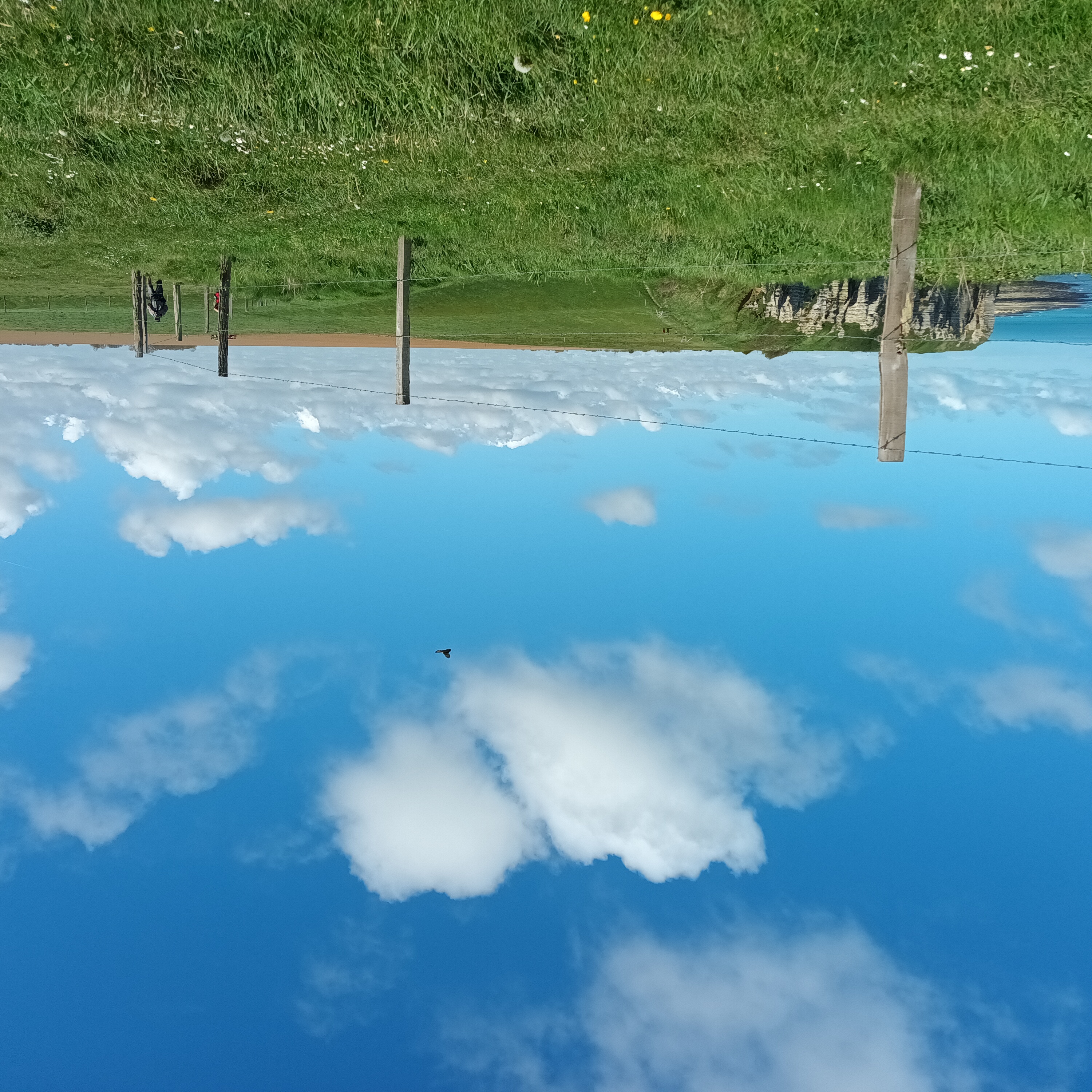
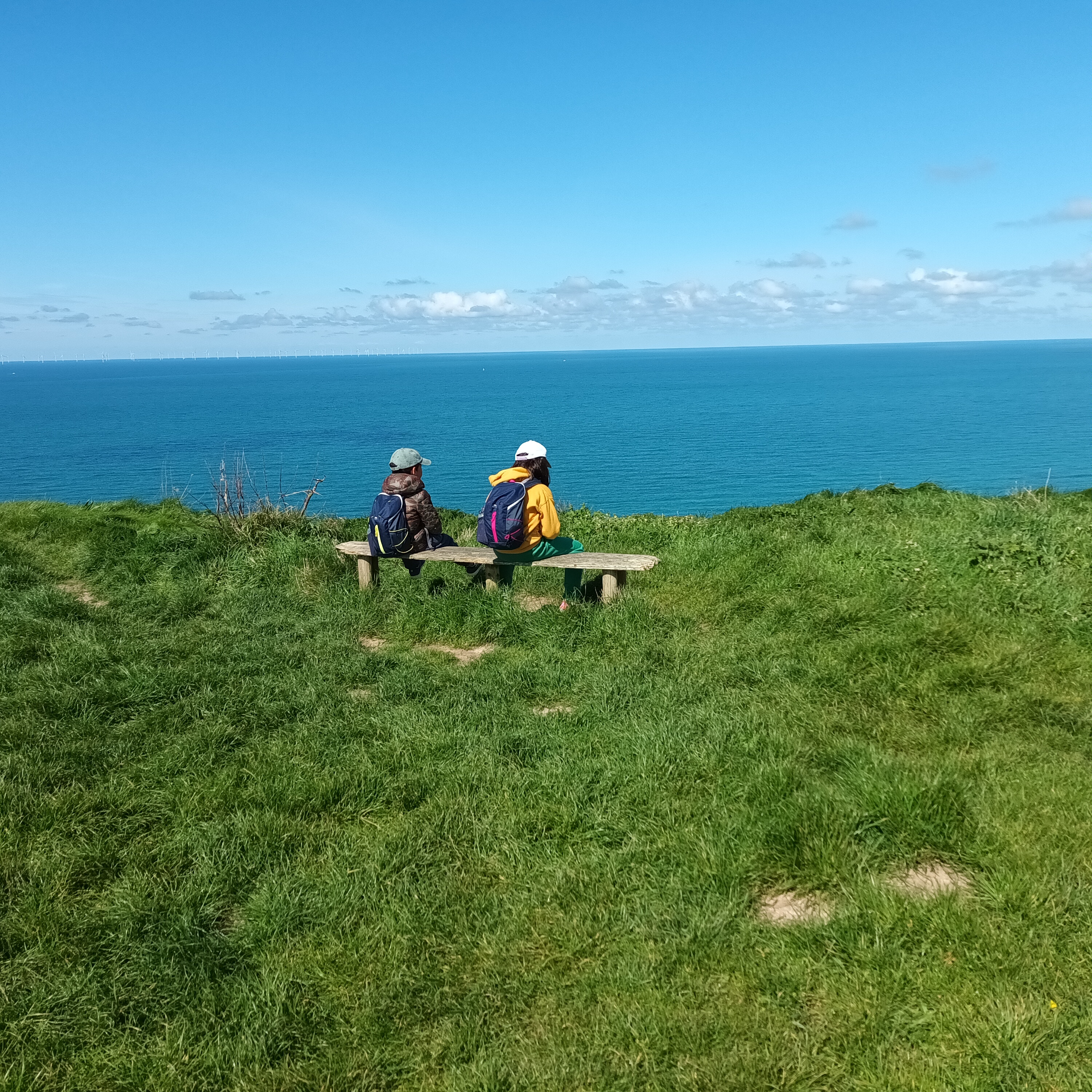
The path along the cliff edge was beautiful. Not too windy, a little sunny. The English Channel was a deep blue and full of lines of wind turbines.
We came into contact with more and more people, and I realized we had changed from countryside etiquette to town mode when my greetings failed to receive a response.
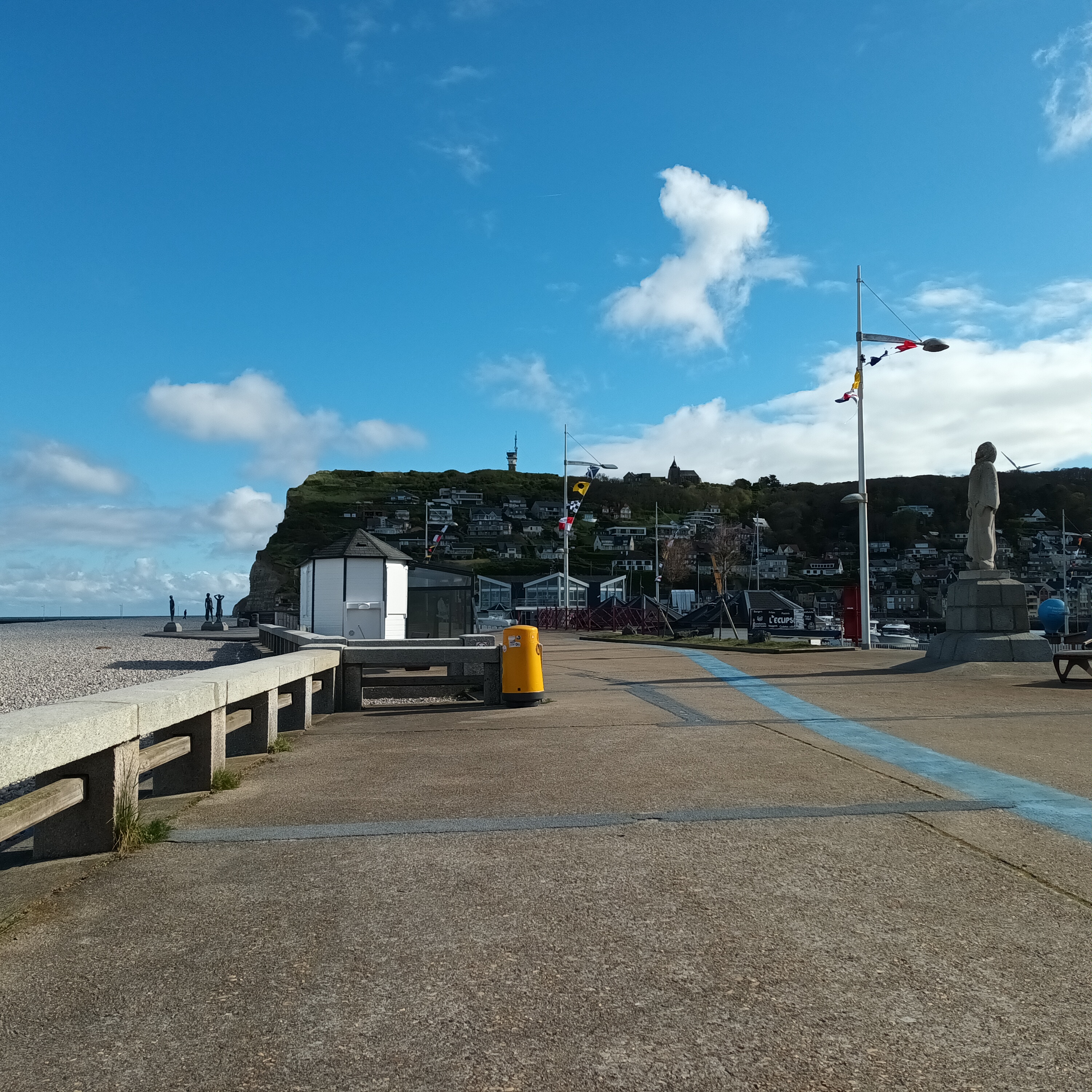
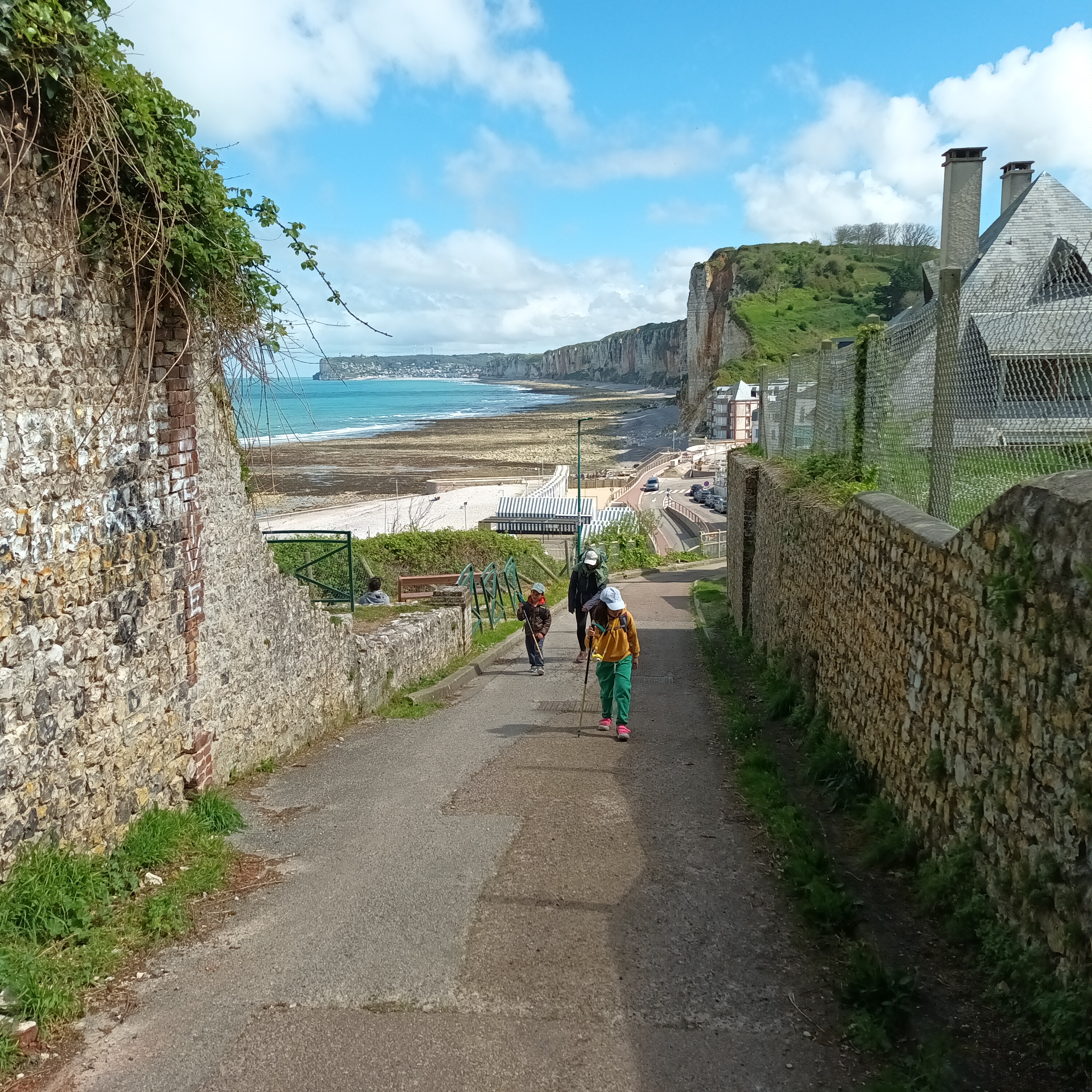
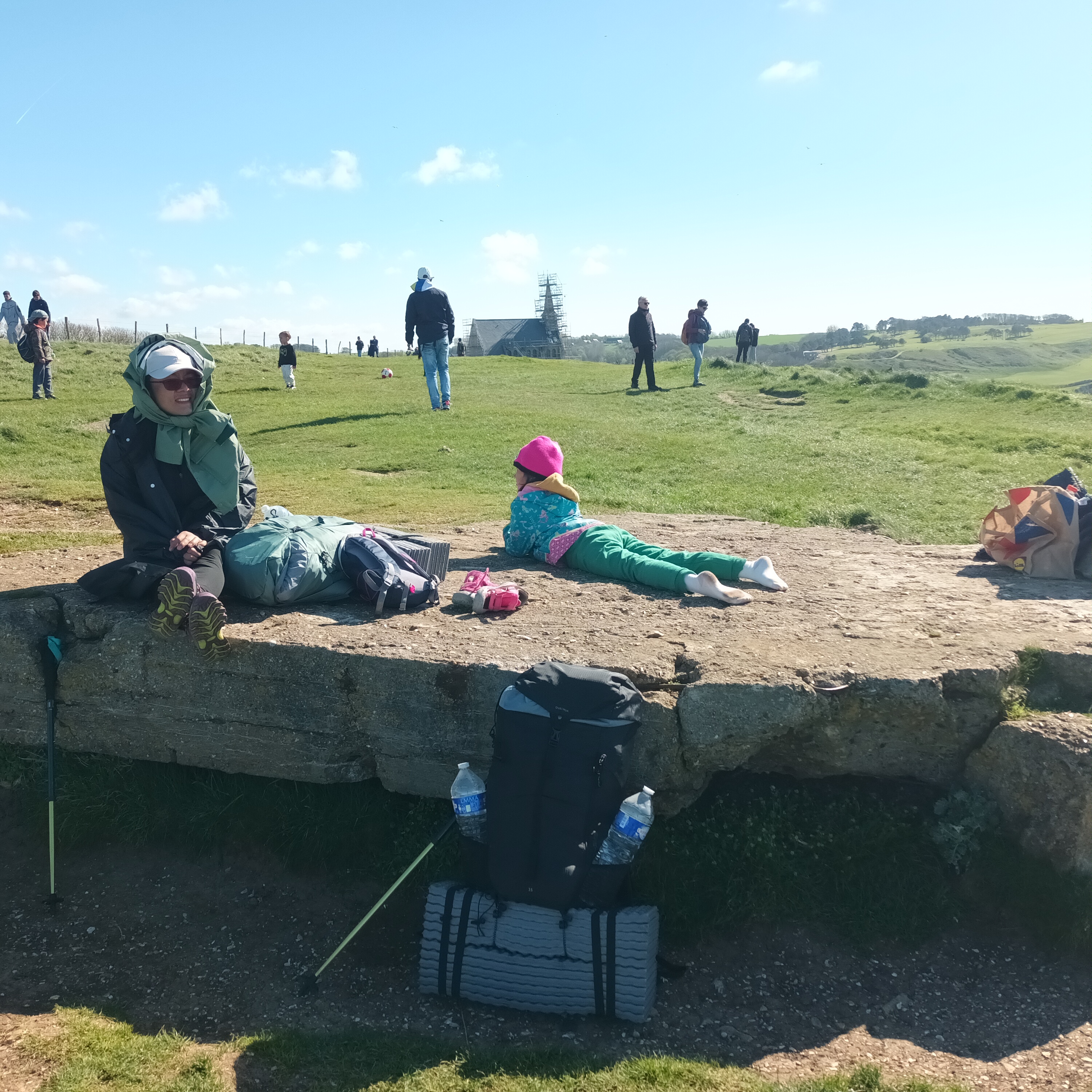
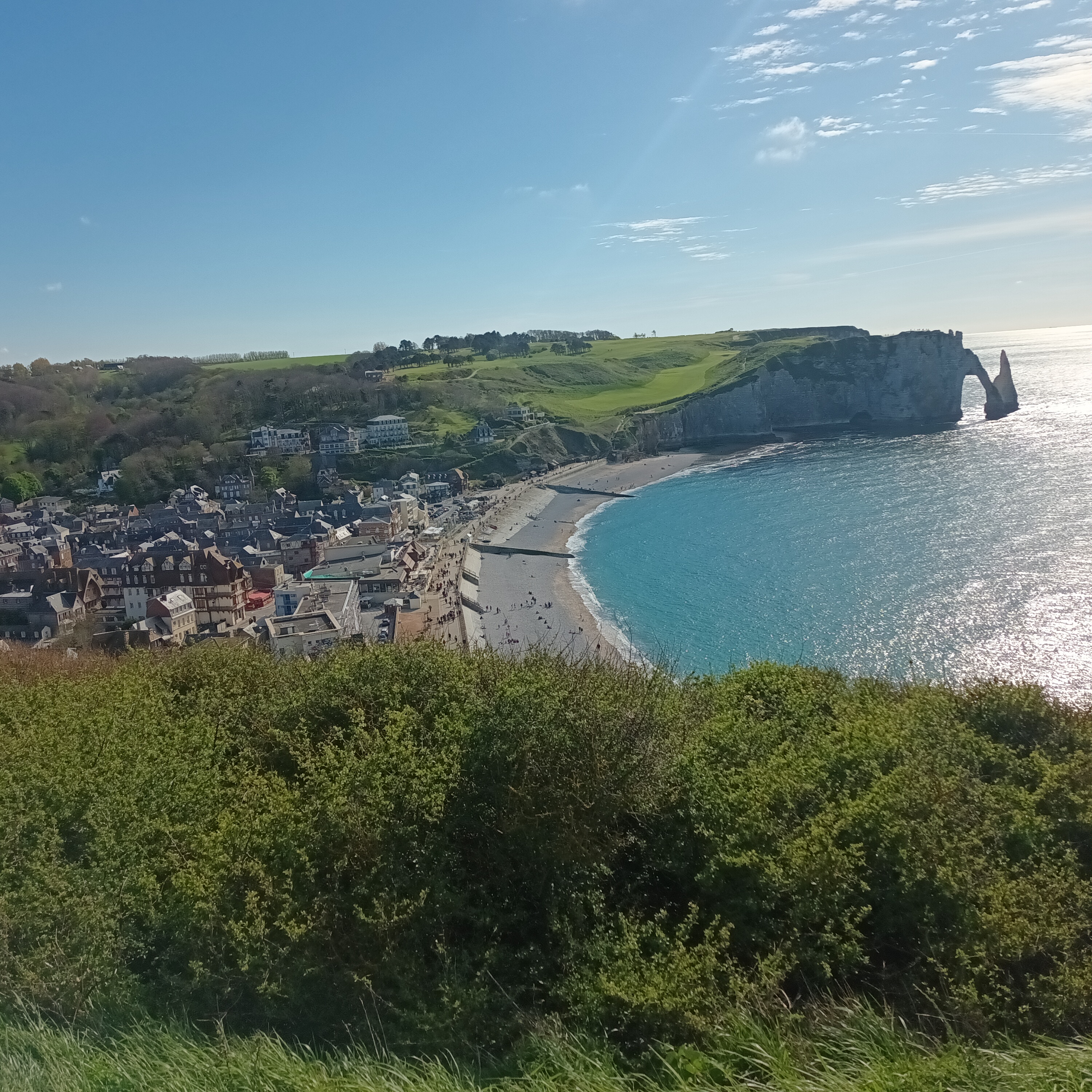
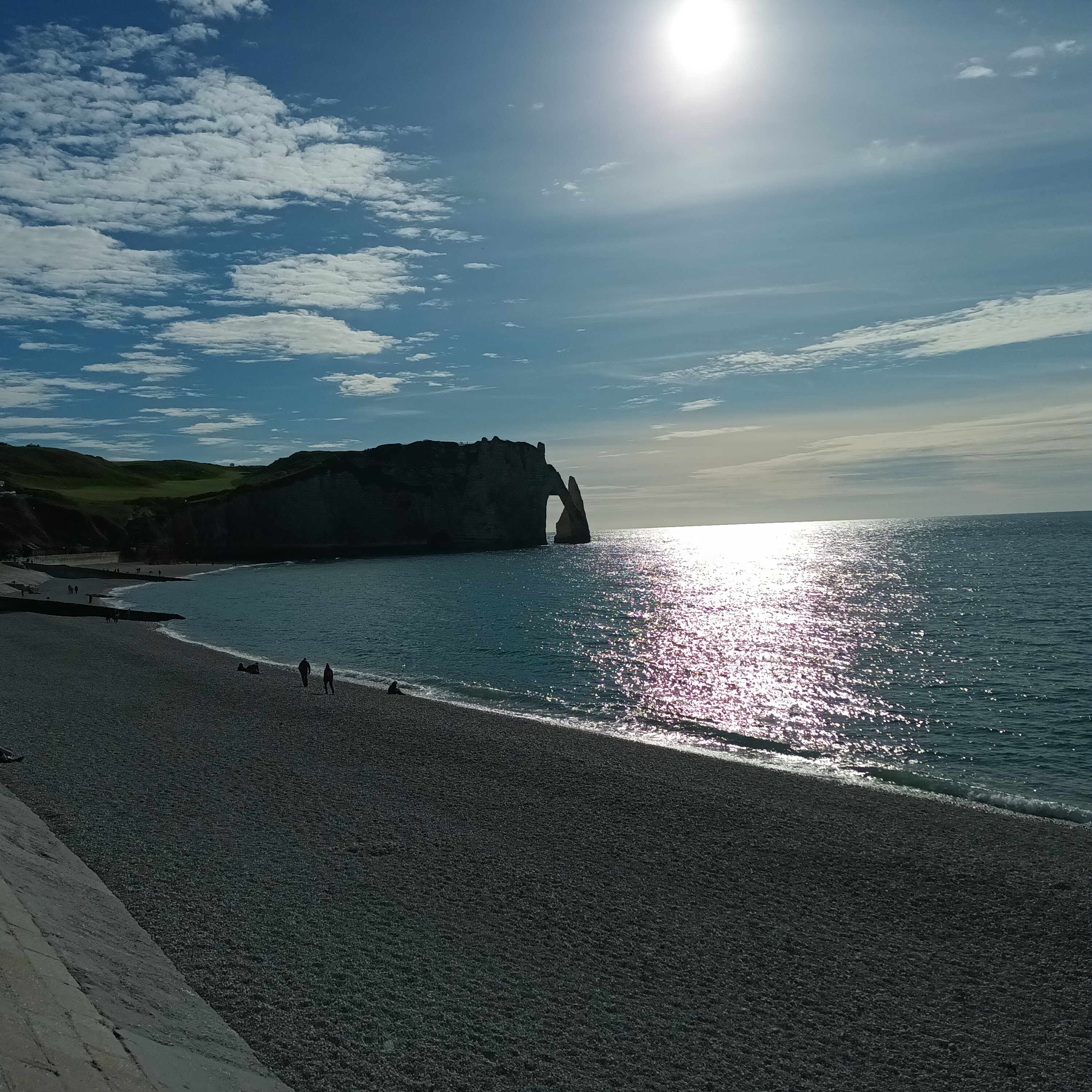
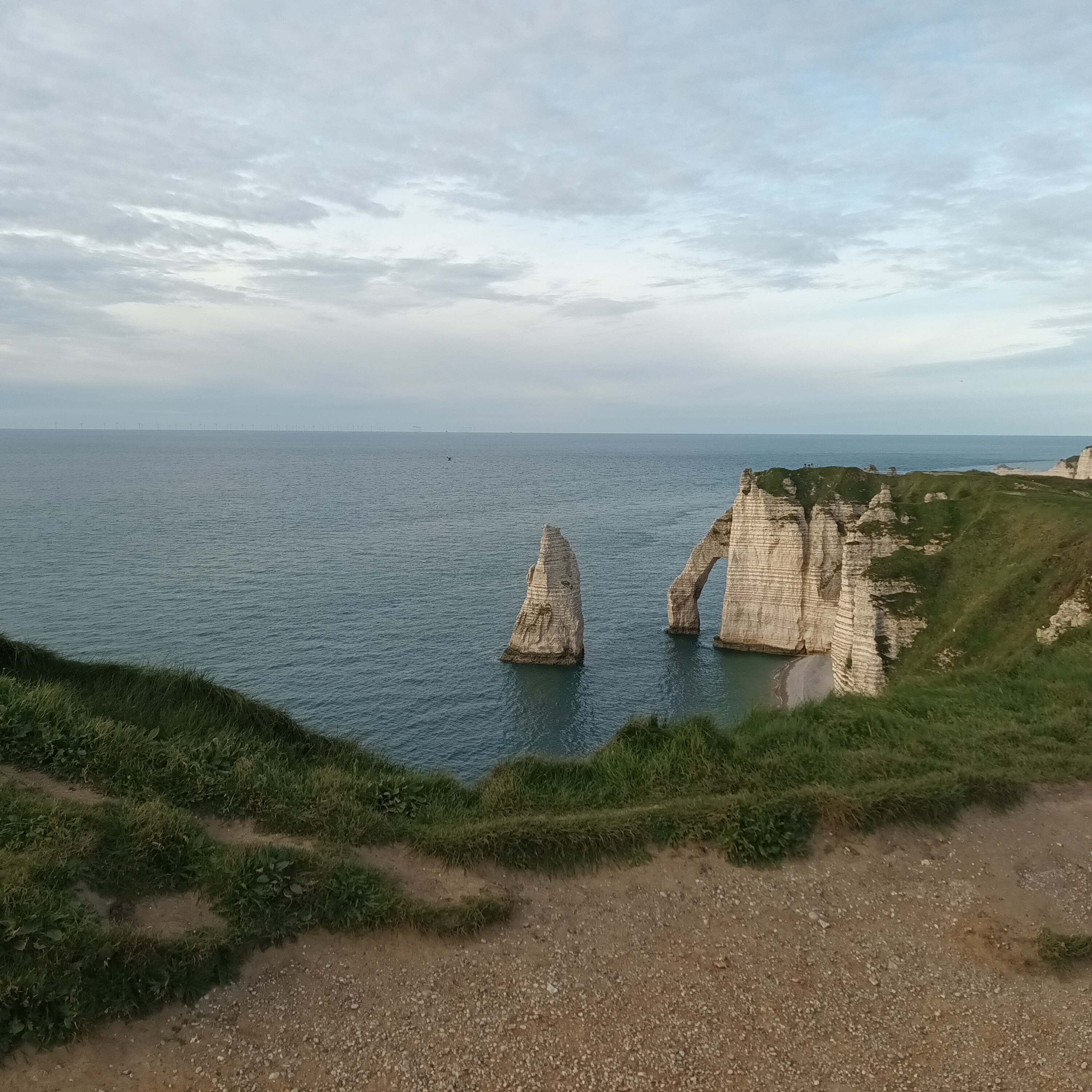
Close to the town, we stopped on a big concrete slab and rested with many tourists who were taking pictures. We could see the town of Étretat, as well as the iconic natural arch jutting out from the cliff into the water. Daniel played soccer with a family.
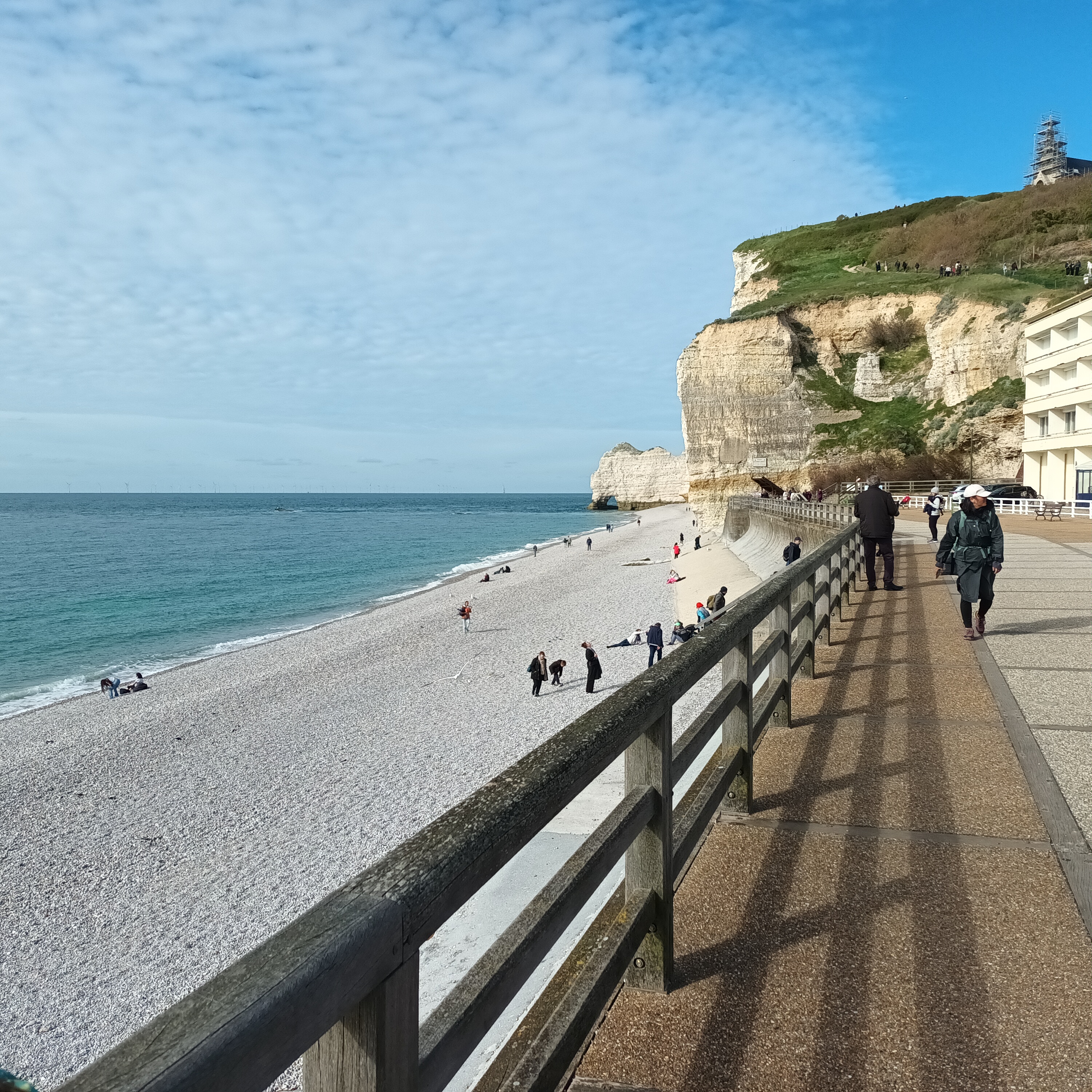
We stayed there for hours, delaying our descent into the town. When we finally did go down, we found a playground for the kids. There were tourists everywhere, and it was a very different atmosphere from the rest of the hike, which was solitary.
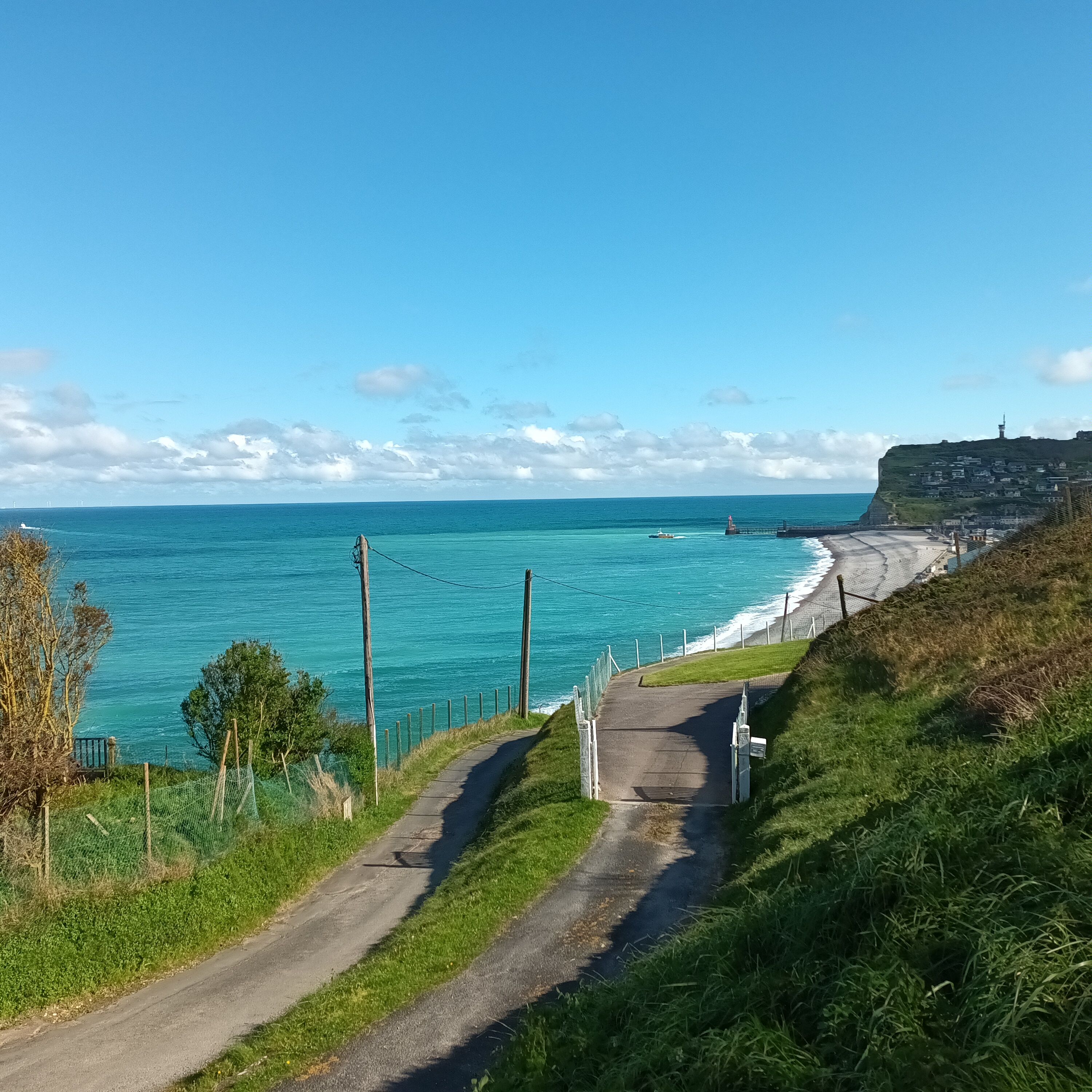
After a long time there, we couldn’t wait any longer, and climbed up out of town. The number of tourists hiking on the West side of town had dwindled down to very few, and as we hiked farther from town, we were alone again.
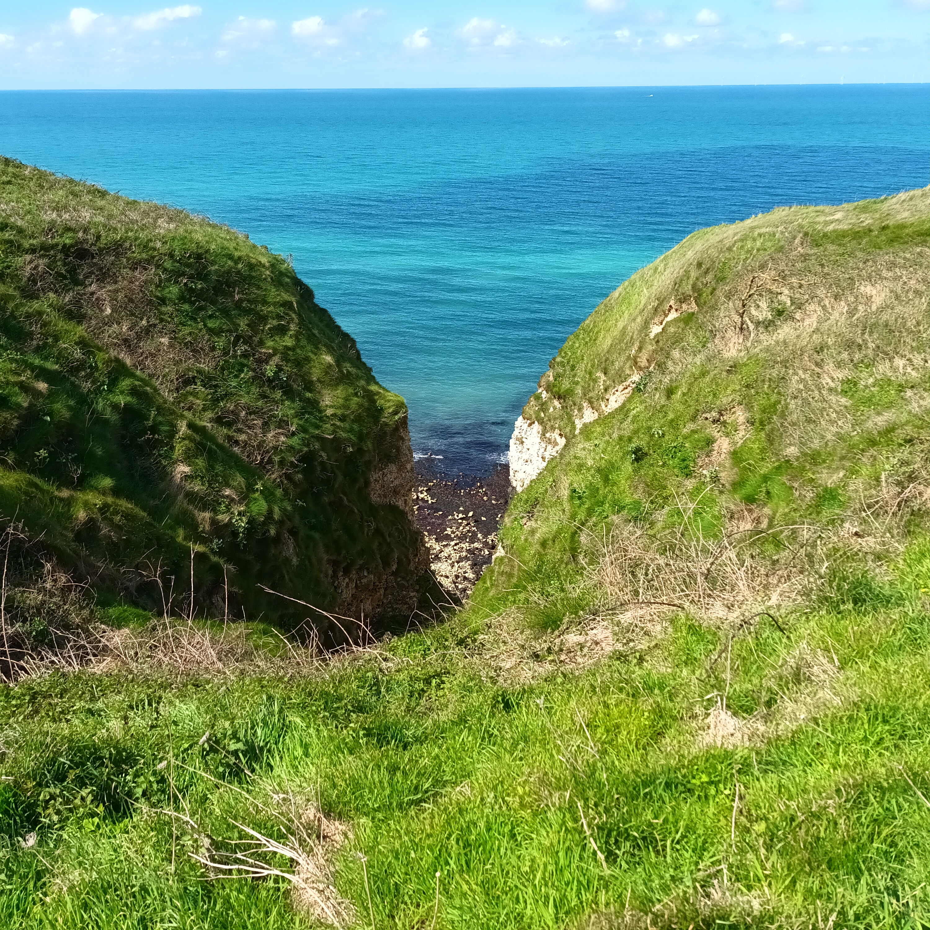
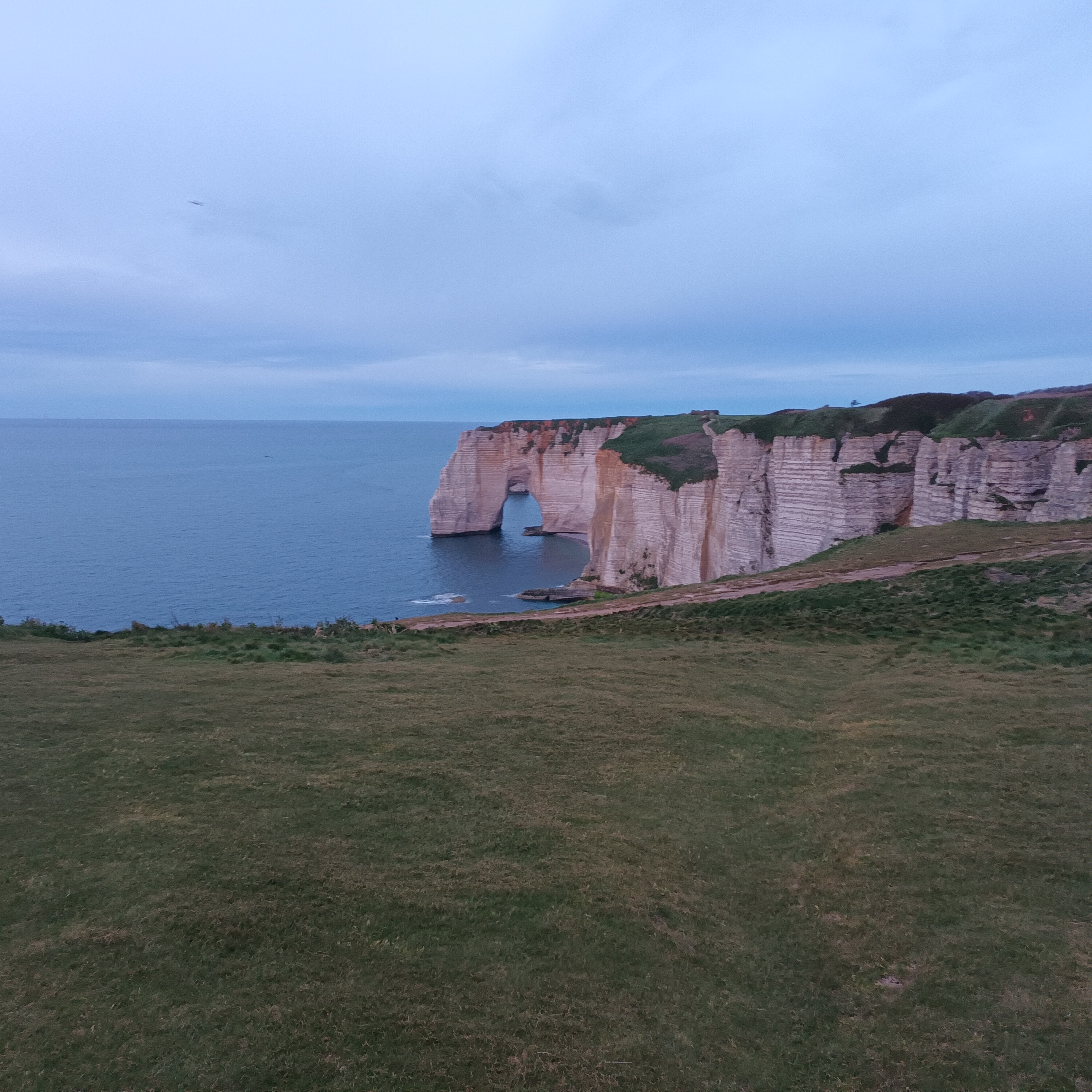
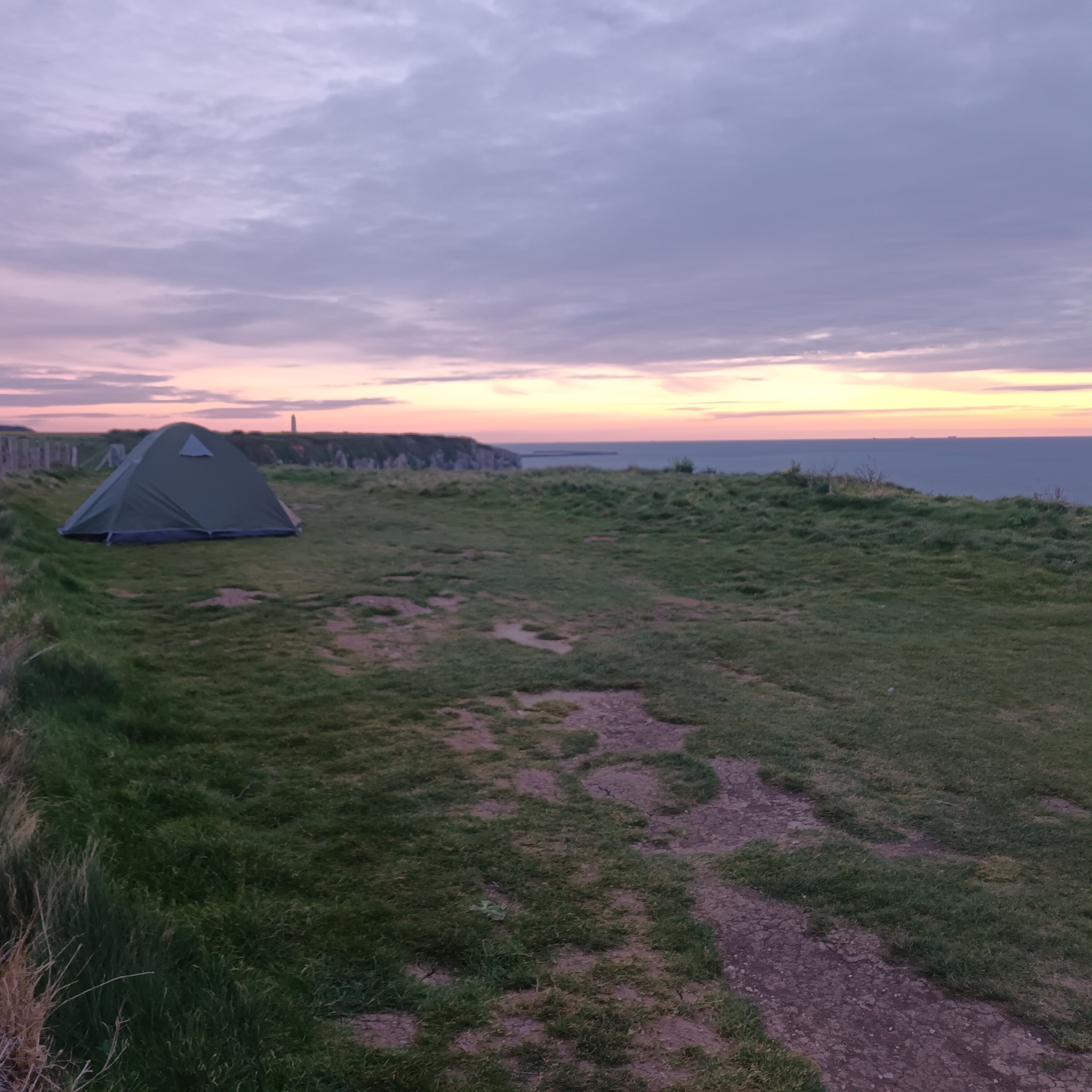
Arriving at the point where the trail heads inland and leaves the coast for the last time, there was no one there. We set up our tent and staked it down. Thankfully the wind was not too strong, even on the cliff edge. Later on a couple of people walked by, but they didn’t mind us.
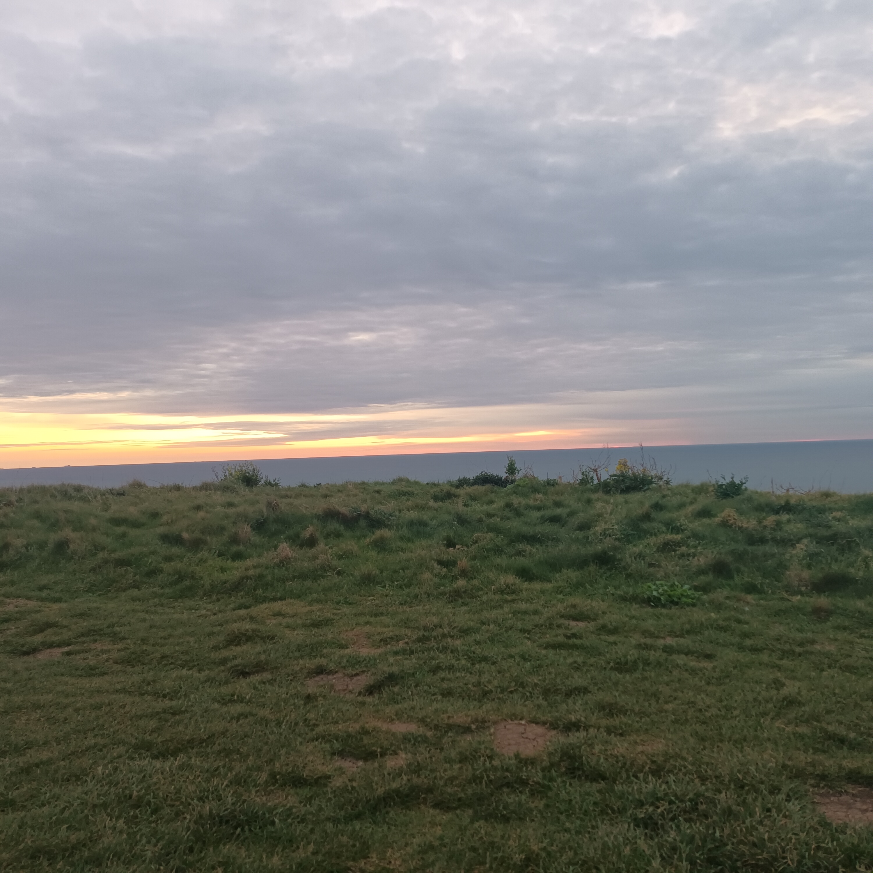
I got some pictures of our tent as the sun set over the English Channel. Alex spent a long time cooking food for everyone. As we got to sleep I felt a bit sad that our hike was starting to wind down and that we would be leaving behind the cliffs of Normandy in the morning.