May 30
End: Gifford Woods State Park
Miles: 20.7
Total: 3561.6
We got up for breakfast downstairs at The Yellow Deli, where we were served some nice hot food. Spiral, Swivel and I all planned to hit the trail and get going, but the other hikers exhibited no such enthusiasm for moving.
Unable to get the hostel to shuttle us back to the trailhead, we arranged a ride with Plans Too Much, a local trail angel. He dropped off another hiker, then came back and took us to the trail. After spending a car ride with him I understood why the other hikers called him Talks Too Much.
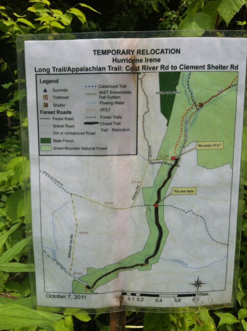
Back on the trail, I pressed ahead and quickly found myself navigating the trail that had been hit by Hurricane Irene the previous year. Previously I had been reading over Lil’ Buddha’s journal from 2010 in order to be prepared. He had failed to mention that a year after his hike a hurricane would destroy the trail in Vermont.
Most of the trail was navigable, and one section was now a road walk. Unfortunately, there was no notice at the beginning of the closed section, so halfway through it I realized that I could have been road walking.
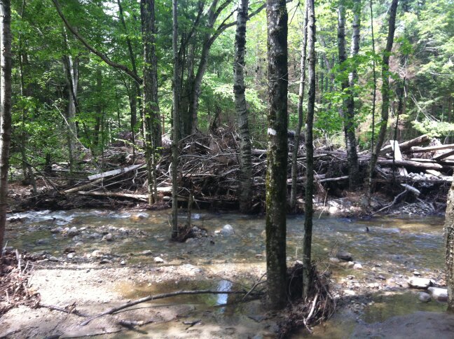
Instead of detouring I stuck with the trail, and was glad that I did. It was wild to see how the hurricane had changed the flow of water through the area. New creeks and small rivers were flowing where trees had previously been growing in the middle of the forest. All sorts of trees and branches were strewn about, and the trail was occasionally difficult to follow.
Though I was losing mileage, I was glad to be experiencing something a little more rare than the usual trail through Vermont. Soon I exited the destroyed trail and went on past the fork with the Long Trail, which had been the same as the Appalachian Trail until that point.
I stopped for awhile to journal and wait until close to dark before descending into the state park. I actually arrived well before dark but had no problem hiding out in Elm Shelter, which no one had reserved. I ate, packed up my gear, and got to sleep.


