Monday, August 19, 2024
End: Pas du Roy
Ascent: 600 m
Descent: 900 m
Distance: 18 km
Total: 120 km
I had a particularly bad night trying to sleep. Daniel had spent the night in my sleeping bag in order to stay warm, and while that had worked, I had no room to maneuver and get comfortable, and didn’t sleep much at all.
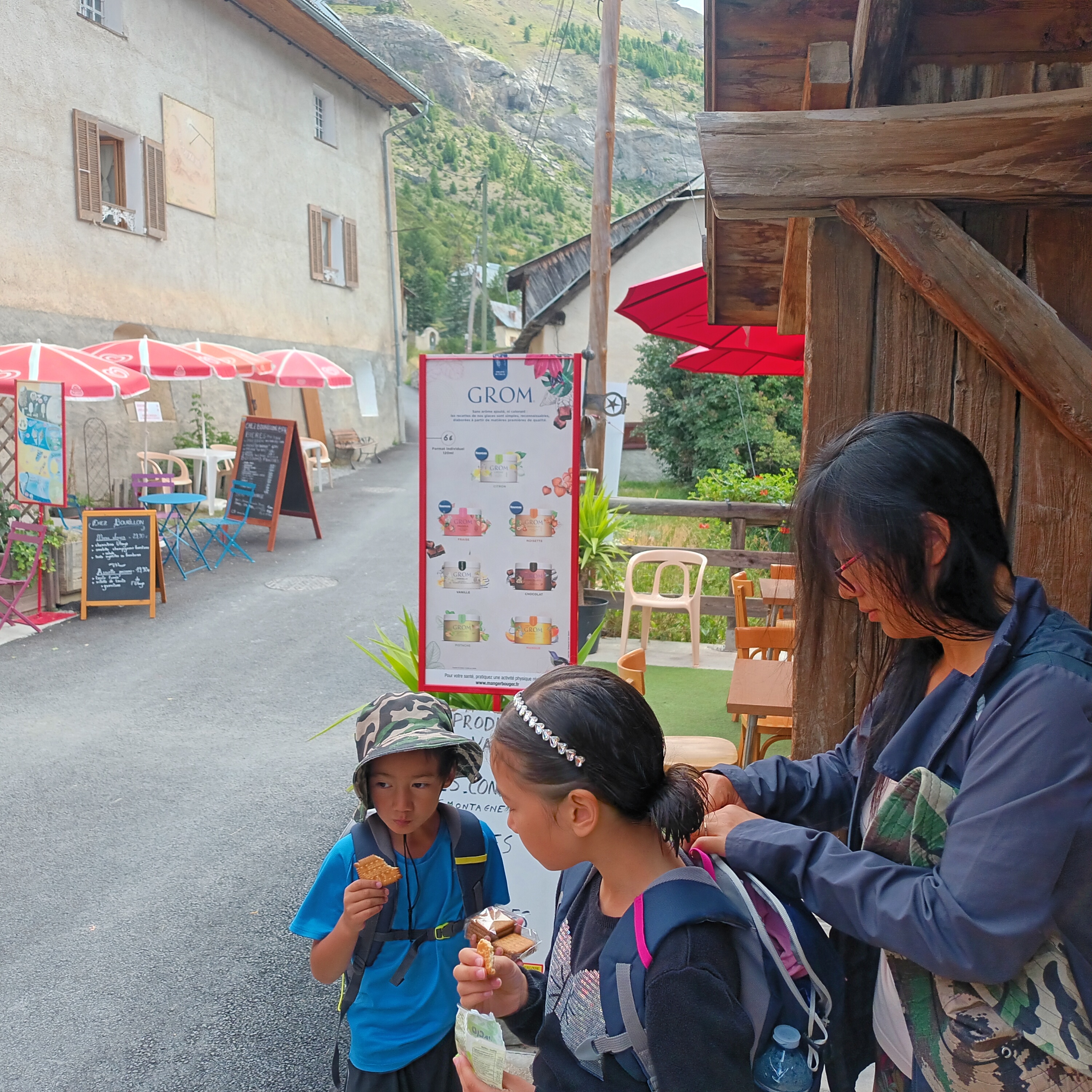
We got up and packed up our stuff. Today was the day we were finally going to get some food. We had hiked the whole trail so far on food we brought from home, only buying bread in Bayasse, a gazette in Bouseyias, and lollipops and croissants in Larche.
We walked down to Fouillouse, which was quite close. I saw that we could get a shower there for five euros, and proposed that to Alex, who was not appreciative of our wild and natural hiking lifestyle. She and the children took showers, and we got a couple things from the store.
We didn’t buy much, because we were heading to Saint-Paul-sur-Ubaye, where we thought there would be more food. After a mix-up in directions, we passed over a footbridge and started the relatively easy trail.
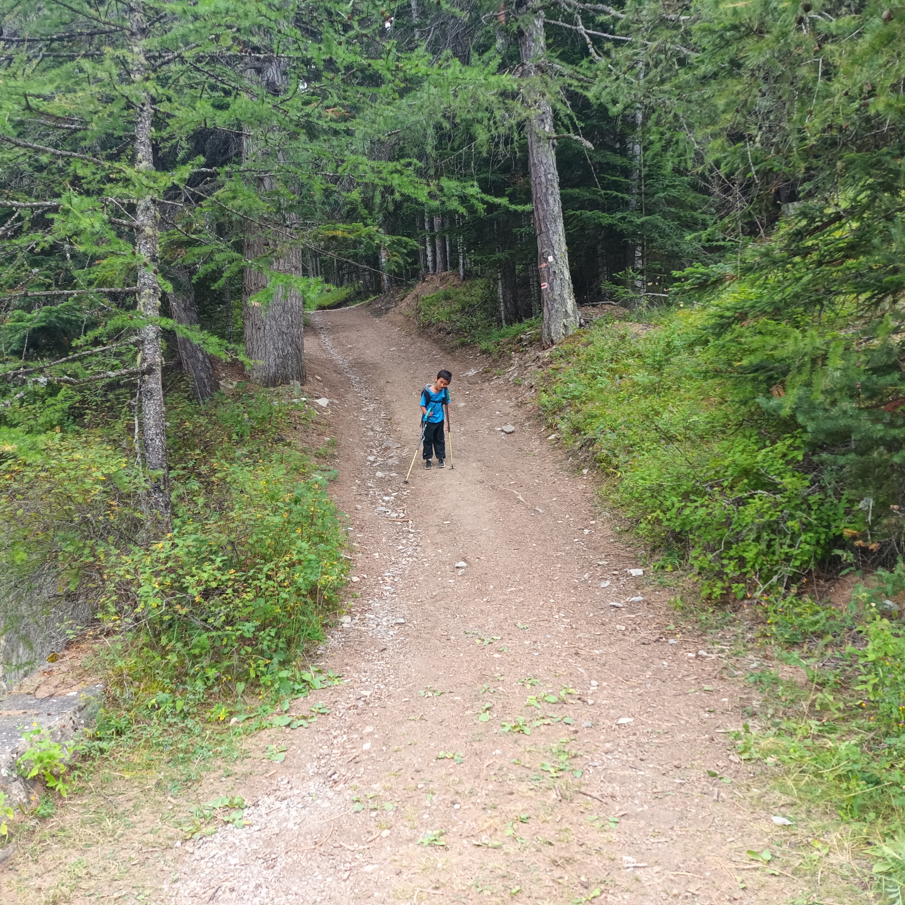
Today’s hiking was a reprieve from the challenges of previous days. The path was often grassy or soft dirt, in contrast with the large rocks of the Alps. We walked along and descended a bit down to the Ubaye River.
This was the river we had camped near on our arrival in the area before our hike began. In that sense, we had completed a loop already. We just needed to meet the Ubaye River down at Méolans-Revel, and the trail would be complete. But that would take a couple more days.
We made it into Saint-Paul, and found the boulangerie was closed until further notice. Thankfully, the Gite had a restaurant that was open. The grocery store was closed until 4PM, which was over 3 hours wait.
We sat down to eat, and tried our best to get our picky kids to eat a few bites. We relaxed, knowing we had plenty of time. The sun was out, and a few locals as well as motorcyclists and other travelers were enjoying their lunch.
Alex discovered that we could access the grocery store immediately since we had eaten at the restaurant. Great news! We loaded up lots of food. This was the last store or town of any consequence on our hike, and we wanted to make sure we had enough to comfortably finish.
I filled up my bottles with water, and we walked out of town. At a creek, Alex stopped us and she washed a lot of clothing. It dried out quickly in the sun while the kids played in the water. This has been a favorite activity for them.
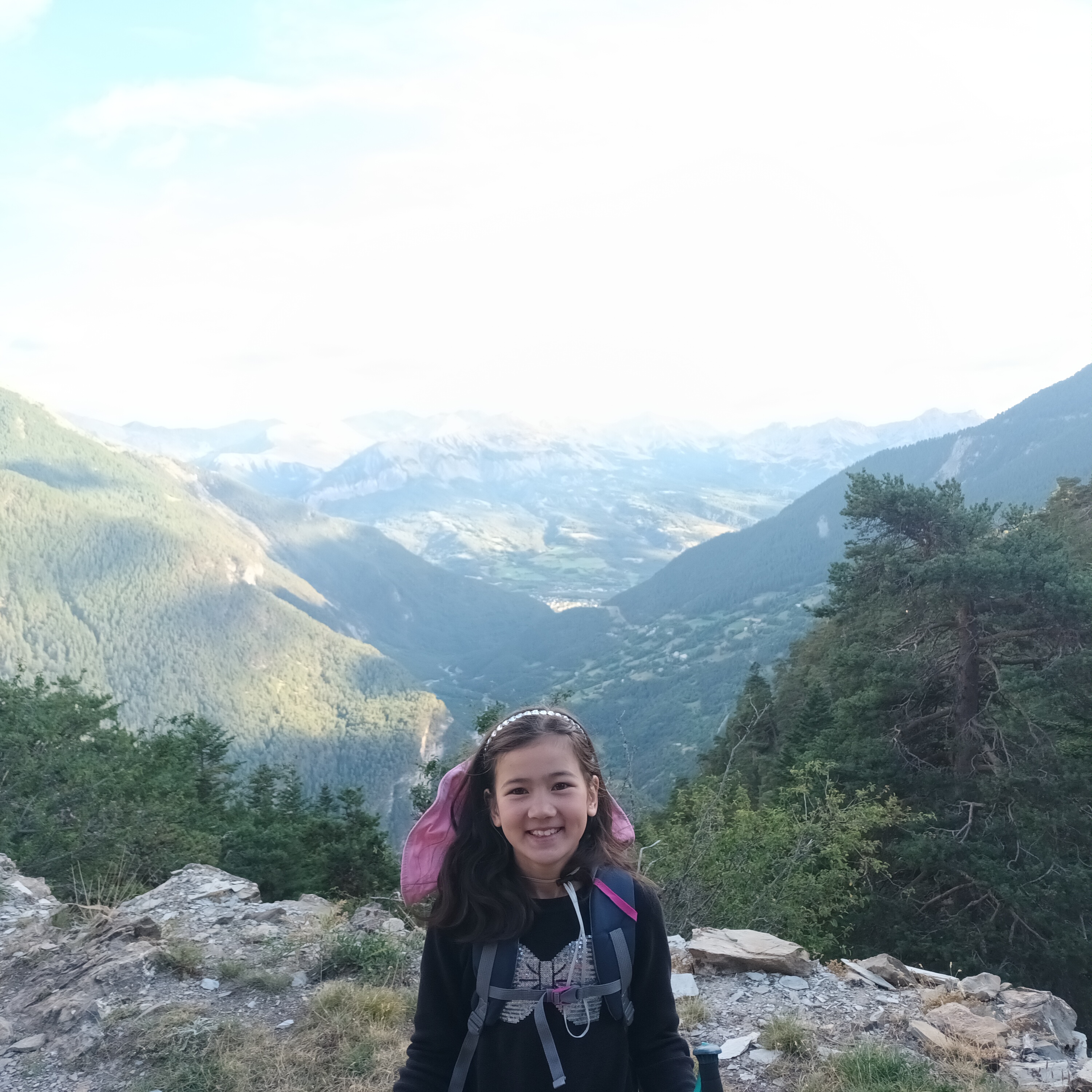
On the move again, my pack was heavy with food and water. We climbed up and up on the path to Tournoux. Soon enough the path leveled out and Daniel regained some energy.
We made into Tournoux, a little village up in the hills. There is a cute little wooden wolf that turns a paddlewheel at the local water source.
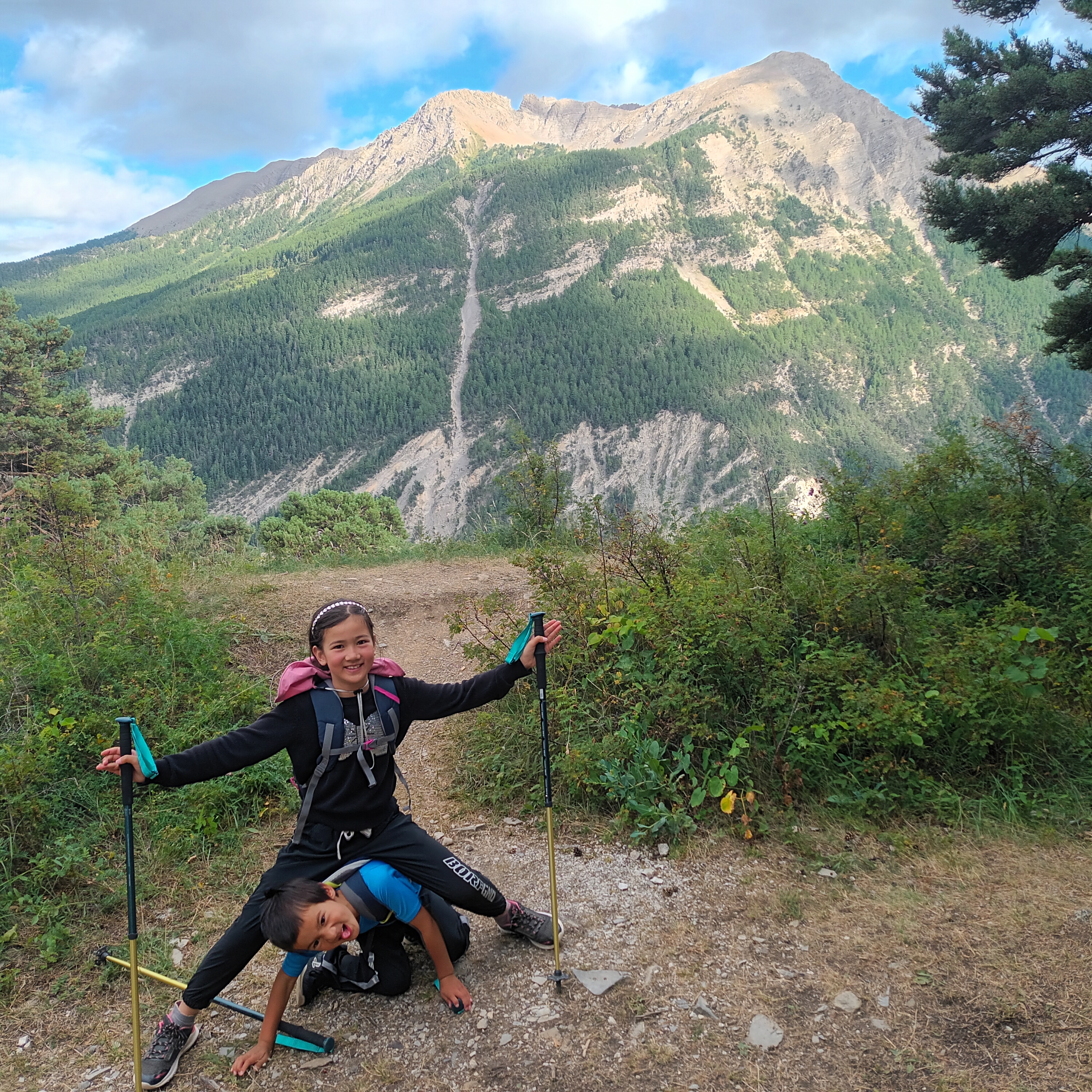
We talked to a nice woman who took our trash to throw away. We made it out of Tournoux and kept hiking up. And up and up and up.
It wasn’t as big a climb as many we have done already, but with our heavy packs it was not easy. And of course Daniel doesn’t move fast in the afternoon.
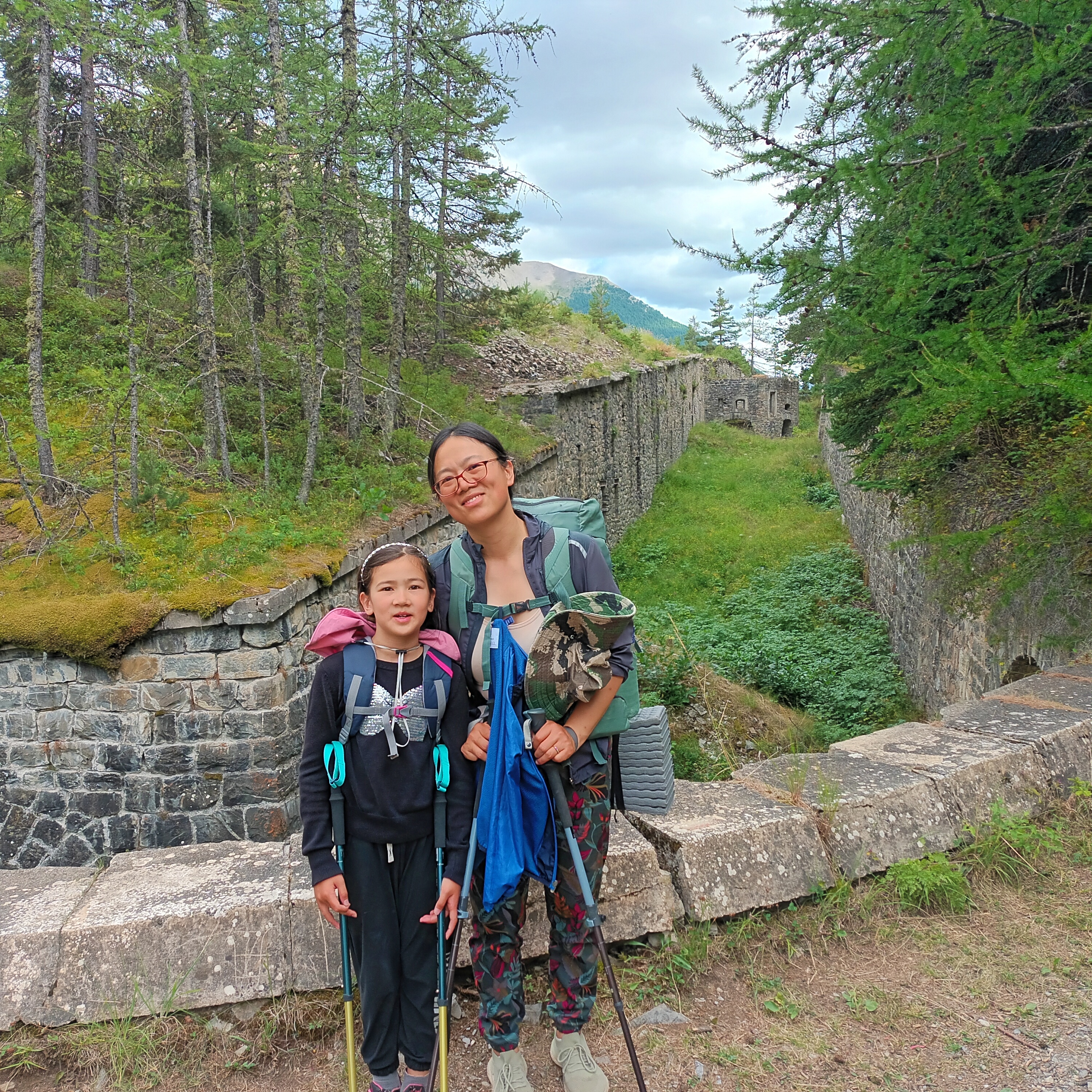
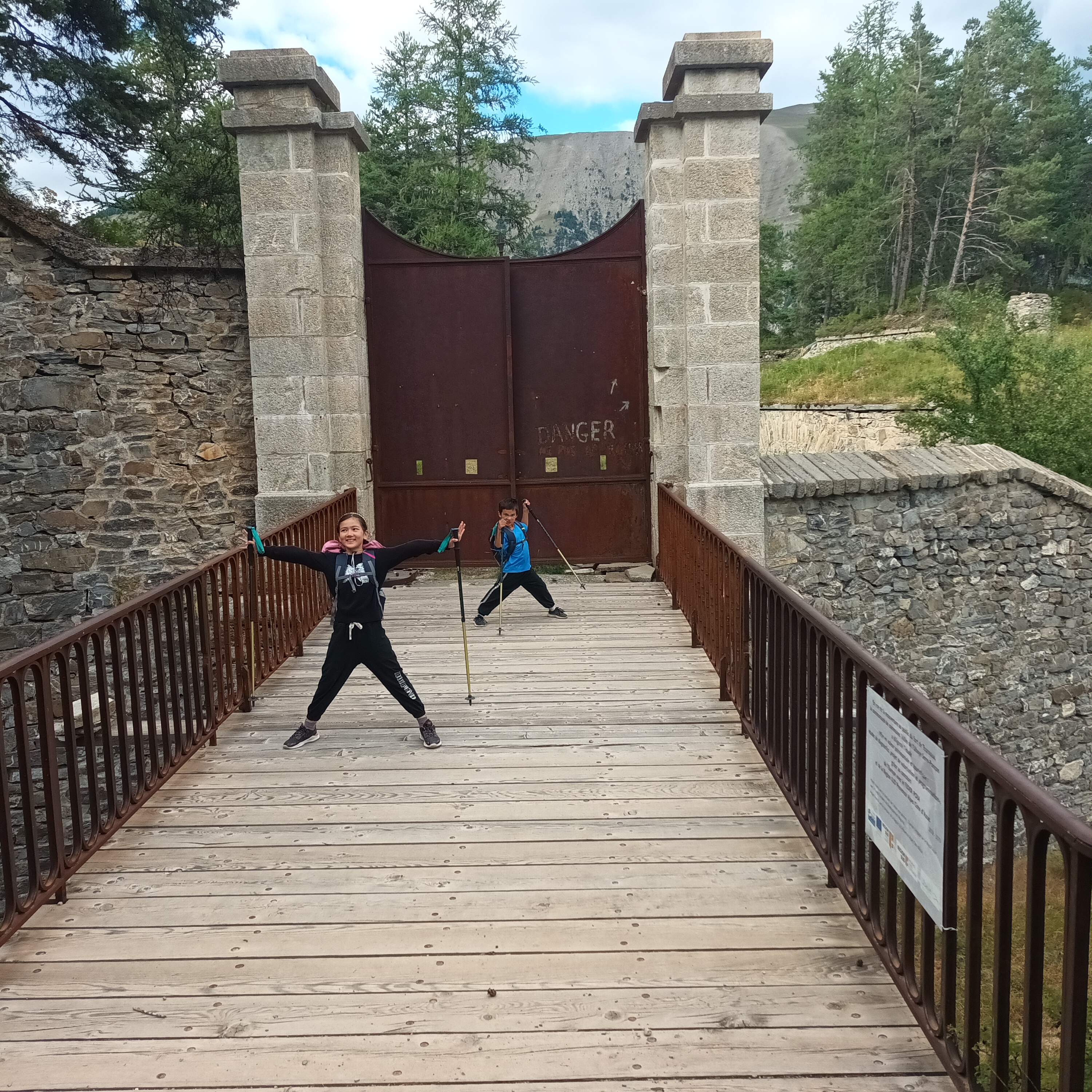
We continued along and eventually made it to the Fort to Caurres, whose gate was closed. We continued up to underneath the Serre d’Aut, which we could glimpse buy did not visit.
At that point Daniel was very tired, and it was obvious that we would not make it down the mountain.
As we hiked, we looked for a spot to camp. We found one in a decent spot, not too far from the edge of the cliff, but protected by a few trees.
We enjoyed lots of food. Alex fried baguette in butter, we had more noodles, and I ate a couple of Twix that had been carried from the beginning of the hike.
We hadn’t covered a large distance, but we we prepared for the rest of the GR56.